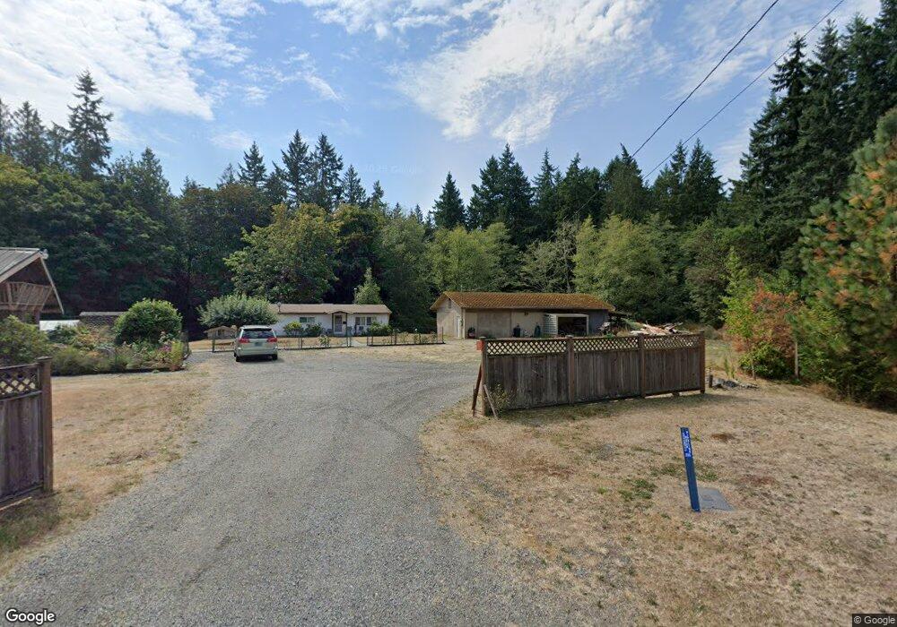
451 Kennedy Rd Port Hadlock, WA 98339
Port Hadlock-Irondale NeighborhoodEstimated Value: $177,005 - $734,000
1
Bed
--
Bath
724
Sq Ft
$502/Sq Ft
Est. Value
About This Home
This home is located at 451 Kennedy Rd, Port Hadlock, WA 98339 and is currently estimated at $363,751, approximately $502 per square foot. 451 Kennedy Rd is a home located in Jefferson County with nearby schools including Chimacum Creek Primary School, Chimacum School Pi Program, and Chimacum Elementary School.
Create a Home Valuation Report for This Property
The Home Valuation Report is an in-depth analysis detailing your home's value as well as a comparison with similar homes in the area
Home Values in the Area
Average Home Value in this Area
Tax History Compared to Growth
Tax History
| Year | Tax Paid | Tax Assessment Tax Assessment Total Assessment is a certain percentage of the fair market value that is determined by local assessors to be the total taxable value of land and additions on the property. | Land | Improvement |
|---|---|---|---|---|
| 2024 | $839 | $105,004 | $85,859 | $19,145 |
| 2023 | $839 | $94,468 | $76,235 | $18,233 |
| 2022 | $670 | $76,633 | $70,165 | $6,468 |
| 2021 | $669 | $65,363 | $60,018 | $5,345 |
| 2020 | $667 | $62,262 | $57,160 | $5,102 |
| 2019 | $662 | $62,262 | $57,160 | $5,102 |
| 2018 | $737 | $62,262 | $57,160 | $5,102 |
| 2017 | $653 | $62,019 | $57,160 | $4,859 |
| 2016 | $629 | $58,190 | $53,088 | $5,102 |
| 2015 | $616 | $58,190 | $53,088 | $5,102 |
| 2014 | $648 | $58,190 | $53,088 | $5,102 |
| 2013 | $648 | $55,420 | $50,560 | $4,860 |
Source: Public Records
Map
Nearby Homes
- 12 Loretta Ln
- 13 Loretta Ln
- 51 Thomas Dr
- 121 S 7th Ave
- 54 May St
- 90 Foster St
- 103 Hunt Rd
- 10955 NKA Rhody Dr
- 63 W Moore St
- 191 Ness' Corner Rd
- 52 E Moore St
- 6062 State Route 20 Unit 27
- 6062 State Route 20 Unit 55
- 6062 State Route 20 Unit 35
- 0 E Eugene St
- 0 Prospect Ave
- 0 Prospect Ave Unit NWM2410763
- 31 2nd St
- 781 Irondale Rd
- 611 Cedar Ave Unit 62
- 451 Kennedy Rd
- 523 Kennedy Rd
- 490 Kennedy Rd
- 765 Somerville Rd
- 400 Kennedy Rd
- 1064 Somerville Rd
- 255 Kennedy Rd
- 881 Somerville Rd
- 320 Kennedy Rd
- 320 Kennedy Rd
- 750 Somerville Rd
- 280 Kennedy Rd
- 249 Kennedy Rd
- 249 Kennedy Rd
- 402 Somerville Rd
- 210 Kennedy Rd
- 581 Somerville Rd
- 221 Kennedy Rd
- 0 XXX Somerville Rd
- 1300 Four Corners Rd