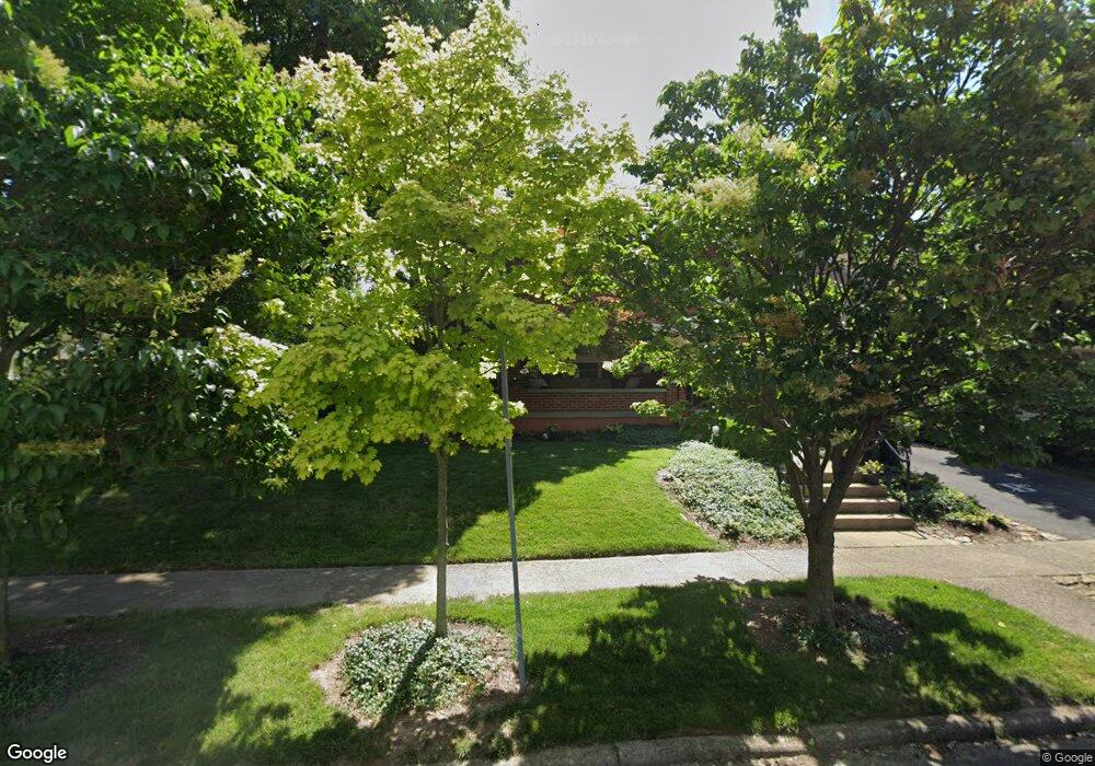
451 Maple St Brookville, OH 45309
Estimated Value: $266,562 - $291,000
3
Beds
2
Baths
1,952
Sq Ft
$144/Sq Ft
Est. Value
About This Home
This home is located at 451 Maple St, Brookville, OH 45309 and is currently estimated at $281,391, approximately $144 per square foot. 451 Maple St is a home located in Montgomery County with nearby schools including Brookville Elementary School, Brookville Intermediate School, and Brookville High School.
Ownership History
Date
Name
Owned For
Owner Type
Purchase Details
Closed on
Jan 28, 2008
Sold by
Poynter Sean D and Poynter Raenell J
Bought by
Fawley James K
Current Estimated Value
Home Financials for this Owner
Home Financials are based on the most recent Mortgage that was taken out on this home.
Original Mortgage
$190,000
Outstanding Balance
$118,545
Interest Rate
6.2%
Mortgage Type
Purchase Money Mortgage
Estimated Equity
$162,846
Purchase Details
Closed on
Jul 31, 1998
Sold by
Luther Joseph E and Luther Joyce A
Bought by
Poynter Sean D and Poynter Raenell J
Create a Home Valuation Report for This Property
The Home Valuation Report is an in-depth analysis detailing your home's value as well as a comparison with similar homes in the area
Home Values in the Area
Average Home Value in this Area
Purchase History
| Date | Buyer | Sale Price | Title Company |
|---|---|---|---|
| Fawley James K | $190,000 | Landmark Title Agency Inc | |
| Poynter Sean D | $138,000 | Midwest Abstract Company |
Source: Public Records
Mortgage History
| Date | Status | Borrower | Loan Amount |
|---|---|---|---|
| Open | Fawley James K | $190,000 |
Source: Public Records
Tax History
| Year | Tax Paid | Tax Assessment Tax Assessment Total Assessment is a certain percentage of the fair market value that is determined by local assessors to be the total taxable value of land and additions on the property. | Land | Improvement |
|---|---|---|---|---|
| 2025 | $3,401 | $79,690 | $15,510 | $64,180 |
| 2024 | $3,172 | $79,690 | $15,510 | $64,180 |
| 2023 | $3,172 | $76,810 | $15,510 | $61,300 |
| 2022 | $2,583 | $51,550 | $10,410 | $41,140 |
| 2021 | $2,594 | $51,550 | $10,410 | $41,140 |
| 2020 | $2,598 | $51,550 | $10,410 | $41,140 |
| 2019 | $2,514 | $46,680 | $10,410 | $36,270 |
| 2018 | $2,528 | $46,680 | $10,410 | $36,270 |
| 2017 | $2,516 | $46,680 | $10,410 | $36,270 |
| 2016 | $2,410 | $44,400 | $10,410 | $33,990 |
| 2015 | $2,372 | $44,400 | $10,410 | $33,990 |
| 2014 | $2,372 | $44,400 | $10,410 | $33,990 |
| 2012 | -- | $44,850 | $10,210 | $34,640 |
Source: Public Records
Map
Nearby Homes
- 232 Maple St
- 107 Evergreen Way
- 102 Meadowlark Ln
- 102 Meadowlark Ln Unit 905-201
- 104 Meadowlark Ln
- 104 Meadowlark Ln Unit 905-202
- 115 Ostend St
- 421 Market St
- 12 Harshman St
- 144 Evergreen Way
- 115 N Wolf Creek St
- 254 Crosswell Ave
- 126 Church St
- 336 N Wolf Creek St
- 766 Hunters Run Dr
- 5217 Keener Rd
- 124 Ankara Ave
- 143 Antwerp Ave
- 150 Antwerp Ave
- 164 Autumn Maple Ln
- 437 Maple St
- 459 Maple St
- 429 Maple St
- 445 Sycamore St
- 423 Sycamore St
- 458 Maple St
- 450 Maple St
- 456 Maple St
- 415 Maple St
- 430 Maple St
- 112 E Westbrook Rd
- 428 Maple St
- 32 E Westbrook Rd
- 118 E Westbrook Rd
- 0 Westbrook Rd Unit 399808
- 0 Westbrook Rd Unit 418863
- 0 Westbrook Rd Unit 440834
- 0 Westbrook Rd Unit 485576
- 0 Westbrook Rd Unit 486702
- 0 Westbrook Rd Unit 737580
Your Personal Tour Guide
Ask me questions while you tour the home.