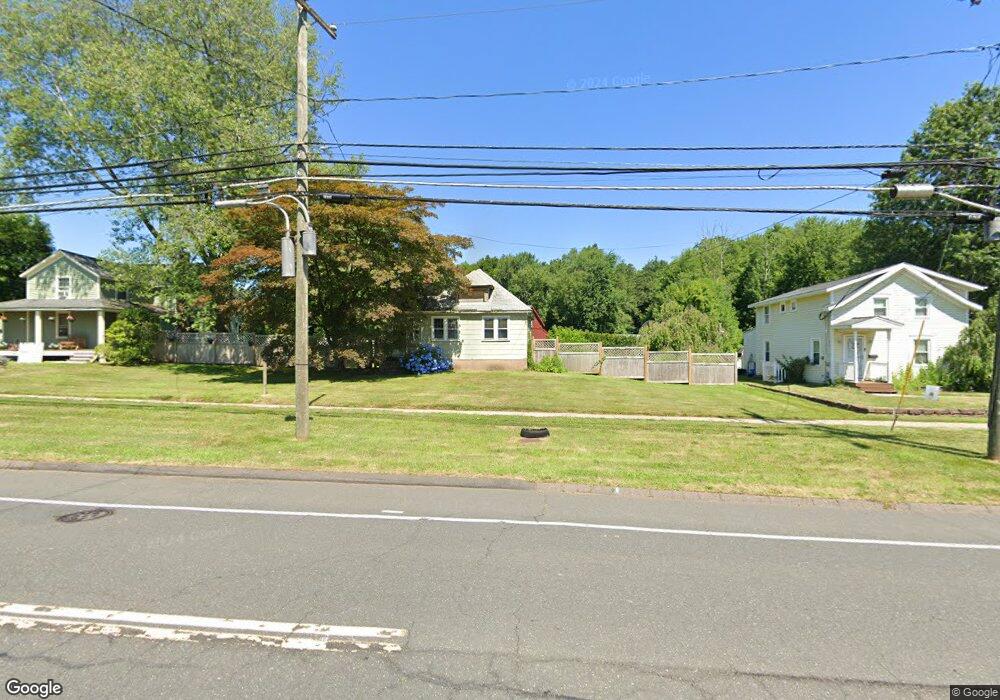
451 Maple St Wethersfield, CT 06109
Estimated Value: $409,947 - $433,000
4
Beds
1
Bath
1,714
Sq Ft
$248/Sq Ft
Est. Value
About This Home
This home is located at 451 Maple St, Wethersfield, CT 06109 and is currently estimated at $424,987, approximately $247 per square foot. 451 Maple St is a home located in Hartford County with nearby schools including Highcrest School, Silas Deane Middle School, and Wethersfield High School.
Create a Home Valuation Report for This Property
The Home Valuation Report is an in-depth analysis detailing your home's value as well as a comparison with similar homes in the area
Home Values in the Area
Average Home Value in this Area
Tax History
| Year | Tax Paid | Tax Assessment Tax Assessment Total Assessment is a certain percentage of the fair market value that is determined by local assessors to be the total taxable value of land and additions on the property. | Land | Improvement |
|---|---|---|---|---|
| 2025 | $10,377 | $251,750 | $108,200 | $143,550 |
| 2024 | $7,313 | $169,200 | $70,940 | $98,260 |
| 2023 | $6,717 | $160,770 | $70,940 | $89,830 |
| 2022 | $6,604 | $160,770 | $70,940 | $89,830 |
| 2021 | $6,539 | $160,770 | $70,940 | $89,830 |
| 2020 | $6,542 | $160,770 | $70,940 | $89,830 |
| 2019 | $6,550 | $160,770 | $70,940 | $89,830 |
| 2018 | $6,741 | $165,300 | $73,000 | $92,300 |
| 2017 | $6,574 | $165,300 | $73,000 | $92,300 |
| 2016 | $6,371 | $165,300 | $73,000 | $92,300 |
| 2015 | $6,313 | $165,300 | $73,000 | $92,300 |
| 2014 | $6,073 | $165,300 | $73,000 | $92,300 |
Source: Public Records
Map
Nearby Homes
- 11 Charter Rd
- 31 Ox Yoke Dr
- 38 Wheeler Rd
- 750 Wolcott Hill Rd
- 89 Merriman Rd
- 250 Edward St
- 195 Middletown Ave
- 25 Sutton Rd
- 131 Coleman Rd
- 137 Dale Rd
- 147 Spring St
- 455 Brimfield Rd
- 108 Chamberlain Rd
- 35 Stillwold Dr
- 22 Winesap Cir Unit 22
- 18 Mcintosh Cir Unit 18
- 1610 Silas Deane Hwy
- 268 Fox Hill Rd
- 0 Collier Rd
- 3 Colonial Dr Unit C
Your Personal Tour Guide
Ask me questions while you tour the home.