451 Millingport Ln New London, NC 28127
Estimated Value: $456,000 - $627,000
5
Beds
3
Baths
2,268
Sq Ft
$246/Sq Ft
Est. Value
About This Home
This home is located at 451 Millingport Ln, New London, NC 28127 and is currently estimated at $557,161, approximately $245 per square foot. 451 Millingport Ln is a home located in Montgomery County with nearby schools including Troy Elementary School, Page Street Elementary School, and West Middle School.
Ownership History
Date
Name
Owned For
Owner Type
Purchase Details
Closed on
Jul 17, 2014
Sold by
Harris Tony David and Harris Julie
Bought by
Ray John M and Ray Maria
Current Estimated Value
Home Financials for this Owner
Home Financials are based on the most recent Mortgage that was taken out on this home.
Original Mortgage
$244,138
Outstanding Balance
$186,239
Interest Rate
4.2%
Mortgage Type
VA
Estimated Equity
$370,922
Purchase Details
Closed on
Aug 8, 2005
Sold by
Cole Joseph E and Cole Deidra A Stroud
Bought by
Harris Tony David and Harris Julie
Home Financials for this Owner
Home Financials are based on the most recent Mortgage that was taken out on this home.
Original Mortgage
$200,000
Interest Rate
5.57%
Mortgage Type
New Conventional
Create a Home Valuation Report for This Property
The Home Valuation Report is an in-depth analysis detailing your home's value as well as a comparison with similar homes in the area
Home Values in the Area
Average Home Value in this Area
Purchase History
| Date | Buyer | Sale Price | Title Company |
|---|---|---|---|
| Ray John M | $239,000 | None Available | |
| Harris Tony David | $265,000 | None Available |
Source: Public Records
Mortgage History
| Date | Status | Borrower | Loan Amount |
|---|---|---|---|
| Open | Ray John M | $244,138 | |
| Previous Owner | Harris Tony David | $200,000 |
Source: Public Records
Tax History Compared to Growth
Tax History
| Year | Tax Paid | Tax Assessment Tax Assessment Total Assessment is a certain percentage of the fair market value that is determined by local assessors to be the total taxable value of land and additions on the property. | Land | Improvement |
|---|---|---|---|---|
| 2025 | $1,743 | $254,424 | $19,278 | $235,146 |
| 2024 | $1,743 | $254,424 | $19,278 | $235,146 |
| 2023 | $1,743 | $254,424 | $19,278 | $235,146 |
| 2022 | $1,743 | $254,424 | $19,278 | $235,146 |
| 2021 | $1,705 | $254,424 | $19,278 | $235,146 |
| 2020 | $1,705 | $254,424 | $19,278 | $235,146 |
| 2019 | $1,911 | $283,100 | $53,946 | $229,154 |
| 2018 | $1,911 | $283,100 | $53,946 | $229,154 |
| 2017 | $1,911 | $283,100 | $53,946 | $229,154 |
| 2016 | $1,911 | $283,100 | $53,946 | $229,154 |
| 2015 | $1,784 | $283,100 | $0 | $0 |
| 2014 | $1,784 | $283,089 | $0 | $0 |
Source: Public Records
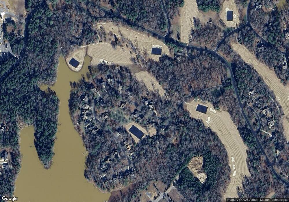
Map
Nearby Homes
- 114 Candor Oaks
- 118 Candor Oaks
- 115 Evergreen Ln
- 118 Gatlin Knoll
- 117 Whitley Mill Ln
- 117 Whitley Mill Rd
- 108 Canoe Landing
- 137 Heron Bay Dr
- 122 Patterson's Bridge
- 202 Pattersons Bridge
- 202 Patterson's Bridge None
- 144 Heron Bay Dr
- 144 Heron Bay Dr Unit 5
- 120 Swift Island Place
- 123 Coggins Mine None
- 441 Glenbrook Spring
- 441 Glenbrook Springs Spring
- 441 Glenbrook Springs None
- 110 Watch Harbor Rd
- 197 Pearl Bay Dr
- 455 Millingport Ln
- 435 Millingport Ln
- 461 Millingport Ln
- 444 Millingport Ln
- 452 Millingport Ln
- 465 Millingport Ln
- 462 Millingport Ln
- 427 Millingport Ln
- 152 Millingport Ln Unit 53
- 152 Millingport Ln
- 148 Millingport Ln
- 380 Millingport Ln
- 395 Millingport Ln
- 206 Millingport Ln
- 201 Millingport Ln Unit 6
- 201 Millingport Ln
- 149 Millingport Ln
- 364 Millingport Ln
- 200 Millingport Ln Unit 64
- 200 Millingport Ln