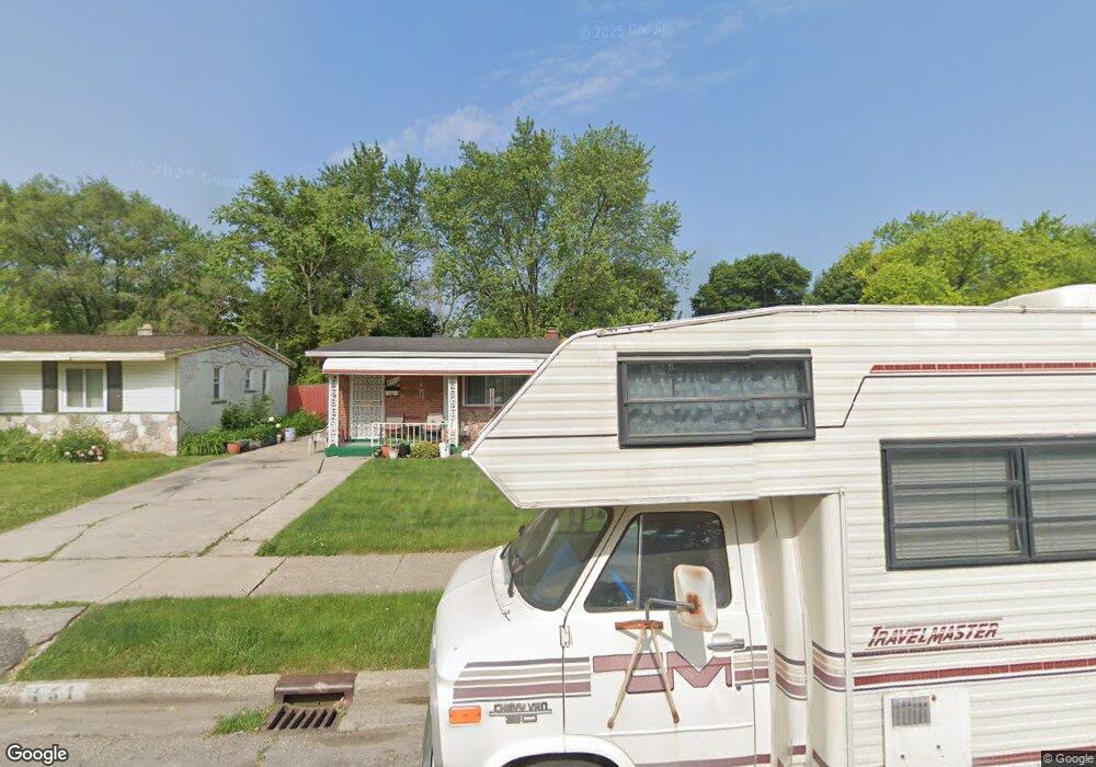
451 Moore St Pontiac, MI 48342
Estimated Value: $178,993 - $246,000
3
Beds
2
Baths
988
Sq Ft
$200/Sq Ft
Est. Value
About This Home
This home is located at 451 Moore St, Pontiac, MI 48342 and is currently estimated at $197,748, approximately $200 per square foot. 451 Moore St is a home located in Oakland County with nearby schools including Herrington Elementary School, Pontiac Middle School, and Pontiac High School.
Ownership History
Date
Name
Owned For
Owner Type
Purchase Details
Closed on
Feb 4, 2005
Sold by
Byrd Kenneth R and Elizabeth Bryd K
Bought by
Goldsmith Williams Gwendolyn
Current Estimated Value
Home Financials for this Owner
Home Financials are based on the most recent Mortgage that was taken out on this home.
Original Mortgage
$92,000
Interest Rate
5.78%
Mortgage Type
Fannie Mae Freddie Mac
Purchase Details
Closed on
Oct 27, 2003
Sold by
Biggers Kathleen
Bought by
Byrd Kenneth R
Create a Home Valuation Report for This Property
The Home Valuation Report is an in-depth analysis detailing your home's value as well as a comparison with similar homes in the area
Home Values in the Area
Average Home Value in this Area
Purchase History
| Date | Buyer | Sale Price | Title Company |
|---|---|---|---|
| Goldsmith Williams Gwendolyn | $115,000 | Fatco | |
| Byrd Kenneth R | -- | -- |
Source: Public Records
Mortgage History
| Date | Status | Borrower | Loan Amount |
|---|---|---|---|
| Previous Owner | Goldsmith Williams Gwendolyn | $92,000 |
Source: Public Records
Tax History Compared to Growth
Tax History
| Year | Tax Paid | Tax Assessment Tax Assessment Total Assessment is a certain percentage of the fair market value that is determined by local assessors to be the total taxable value of land and additions on the property. | Land | Improvement |
|---|---|---|---|---|
| 2024 | $920 | $58,080 | $0 | $0 |
| 2023 | $877 | $51,230 | $0 | $0 |
| 2022 | $915 | $46,020 | $0 | $0 |
| 2021 | $888 | $41,050 | $0 | $0 |
| 2020 | $797 | $36,810 | $0 | $0 |
| 2019 | $862 | $30,790 | $0 | $0 |
| 2018 | $827 | $26,420 | $0 | $0 |
| 2017 | $786 | $24,890 | $0 | $0 |
| 2016 | $811 | $22,600 | $0 | $0 |
| 2015 | -- | $21,830 | $0 | $0 |
| 2014 | -- | $20,260 | $0 | $0 |
| 2011 | -- | $28,670 | $0 | $0 |
Source: Public Records
Map
Nearby Homes
- 422 Kuhn St
- 1277 Liza Blvd
- 558 Boyd St
- 590 Jared Dr
- 591 Boyd St
- 413 Thors St
- 1163 Chestnut St Unit 9
- 442 Kenilworth Ave
- 472 Kenilworth Ave
- 1240 University Dr Unit 2
- 457 Cameron Ave
- 428 Jordon Rd
- 1861 N Opdyke Rd
- Fairfiled Plan at Fairview Village
- Enclave II Plan at Fairview Village
- Enclave Plan at Fairview Village
- Carlyle Plan at Fairview Village
- 715 Kenilworth Ave
- 770 Cameron Ave
- 602 Brady Ln