451 N Eton St Birmingham, MI 48009
Estimated Value: $219,000 - $283,000
2
Beds
2
Baths
973
Sq Ft
$247/Sq Ft
Est. Value
About This Home
This home is located at 451 N Eton St, Birmingham, MI 48009 and is currently estimated at $240,563, approximately $247 per square foot. 451 N Eton St is a home located in Oakland County with nearby schools including Pembroke Elementary School, Derby Middle School, and Ernest W. Seaholm High School.
Ownership History
Date
Name
Owned For
Owner Type
Purchase Details
Closed on
Sep 19, 2012
Sold by
Roth Carlyn
Bought by
Cdr451 Llc
Current Estimated Value
Purchase Details
Closed on
Sep 23, 2005
Sold by
Horton Sandra J
Bought by
Roth Carlyn
Create a Home Valuation Report for This Property
The Home Valuation Report is an in-depth analysis detailing your home's value as well as a comparison with similar homes in the area
Home Values in the Area
Average Home Value in this Area
Purchase History
| Date | Buyer | Sale Price | Title Company |
|---|---|---|---|
| Cdr451 Llc | -- | None Available | |
| Roth Carlyn | -- | Capital Title Ins Agency |
Source: Public Records
Tax History Compared to Growth
Tax History
| Year | Tax Paid | Tax Assessment Tax Assessment Total Assessment is a certain percentage of the fair market value that is determined by local assessors to be the total taxable value of land and additions on the property. | Land | Improvement |
|---|---|---|---|---|
| 2024 | $1,313 | $85,930 | $0 | $0 |
| 2023 | $1,254 | $83,280 | $0 | $0 |
| 2022 | $1,511 | $75,150 | $0 | $0 |
| 2021 | $1,474 | $72,110 | $0 | $0 |
| 2020 | $1,169 | $67,690 | $0 | $0 |
| 2019 | $1,448 | $56,970 | $0 | $0 |
| 2018 | $1,416 | $48,710 | $0 | $0 |
| 2017 | $1,396 | $44,280 | $0 | $0 |
| 2016 | $1,390 | $40,160 | $0 | $0 |
| 2015 | -- | $34,740 | $0 | $0 |
| 2014 | -- | $28,940 | $0 | $0 |
| 2011 | -- | $25,040 | $0 | $0 |
Source: Public Records
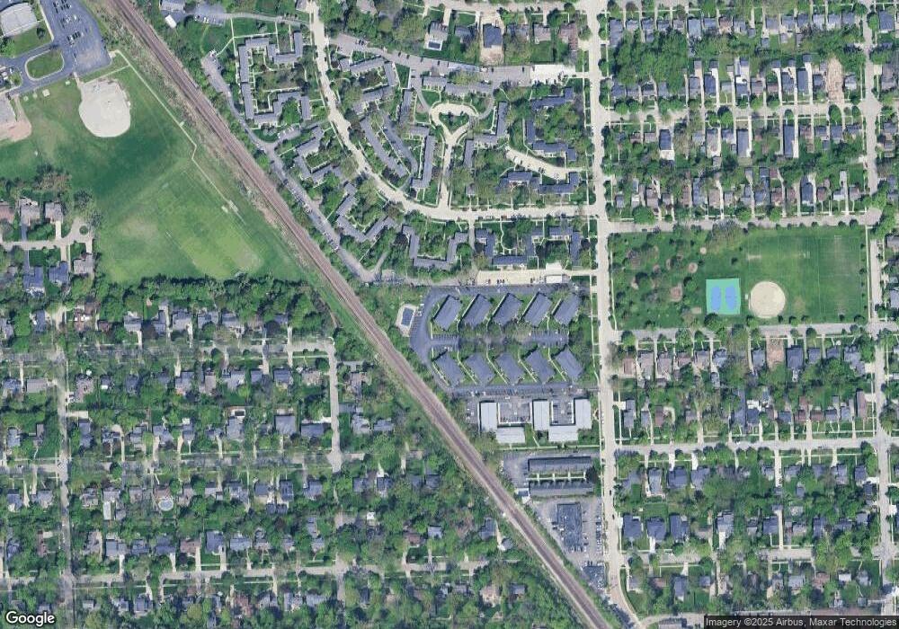
Map
Nearby Homes
- 361 N Eton St Unit 7
- 729 N Eton St
- 714 Graefield Ct
- 1801 Graefield Rd
- 1814 Graefield Rd
- 2182 Buckingham Ave
- 2113 Yorkshire Rd
- 2106 Pembroke Rd
- 2263 Manchester Rd
- 1773 Villa Rd
- 1633 Villa Rd
- 3401 Witherbee Dr
- 2498 Buckingham Ave
- 2051 Villa Rd Unit 304
- 2051 Villa Rd Unit 302
- 1180 Manchester Rd
- 1777 Hazel St
- 1673 Hazel St
- 425 Lewis Ct Unit 47
- 1971 Bowers St
- 451 N Eton St Unit 7
- 451 N Eton St
- 451 N Eton St
- 451 N Eton St
- 451 N Eton St
- 451 N Eton St
- 451 N Eton St
- 451 N Eton St
- 451 N Eton St Unit E 7
- 451 N Eton St
- 451 N Eton St Unit 4
- 451 N Eton St Unit E2
- 451 N Eton St
- 451 N Eton St Unit E 8
- 451 N Eton St Unit E7
- 451 N Eton St Unit 42
- 451 N Eton St Unit 47
- 451 N Eton St Unit 45
- 451 N Eton St Unit 41
- 463 N Eton St