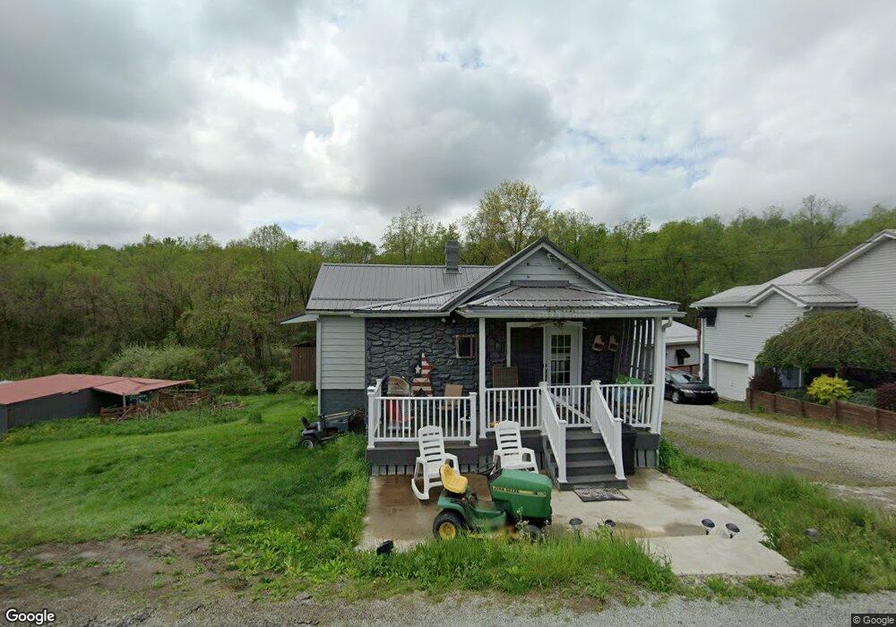
451 Palmer Adah Rd Adah, PA 15410
Luzerne Township NeighborhoodEstimated Value: $97,000 - $146,000
3
Beds
1
Bath
1,022
Sq Ft
$111/Sq Ft
Est. Value
About This Home
This home is located at 451 Palmer Adah Rd, Adah, PA 15410 and is currently estimated at $113,605, approximately $111 per square foot. 451 Palmer Adah Rd is a home located in Fayette County with nearby schools including Brownsville Area Elementary School, Brownsville Area Middle School, and Brownsville Area High School.
Ownership History
Date
Name
Owned For
Owner Type
Purchase Details
Closed on
Aug 23, 2013
Sold by
Johnson Constance J and Bennett Constance J
Bought by
Huhn Scott K and Fertal Mark F
Current Estimated Value
Home Financials for this Owner
Home Financials are based on the most recent Mortgage that was taken out on this home.
Original Mortgage
$66,500
Outstanding Balance
$49,690
Interest Rate
4.51%
Mortgage Type
New Conventional
Estimated Equity
$63,915
Create a Home Valuation Report for This Property
The Home Valuation Report is an in-depth analysis detailing your home's value as well as a comparison with similar homes in the area
Home Values in the Area
Average Home Value in this Area
Purchase History
| Date | Buyer | Sale Price | Title Company |
|---|---|---|---|
| Huhn Scott K | $70,000 | None Available |
Source: Public Records
Mortgage History
| Date | Status | Borrower | Loan Amount |
|---|---|---|---|
| Open | Huhn Scott K | $66,500 |
Source: Public Records
Tax History Compared to Growth
Tax History
| Year | Tax Paid | Tax Assessment Tax Assessment Total Assessment is a certain percentage of the fair market value that is determined by local assessors to be the total taxable value of land and additions on the property. | Land | Improvement |
|---|---|---|---|---|
| 2025 | $591 | $20,950 | $6,725 | $14,225 |
| 2024 | $591 | $20,950 | $6,725 | $14,225 |
| 2023 | $1,182 | $20,950 | $6,725 | $14,225 |
| 2022 | $1,182 | $20,950 | $6,725 | $14,225 |
| 2021 | $1,147 | $20,950 | $6,725 | $14,225 |
| 2020 | $1,146 | $20,950 | $6,725 | $14,225 |
| 2019 | $1,084 | $20,950 | $6,725 | $14,225 |
| 2018 | $1,084 | $20,950 | $6,725 | $14,225 |
| 2017 | $1,059 | $20,950 | $6,725 | $14,225 |
| 2016 | -- | $20,950 | $6,725 | $14,225 |
| 2015 | -- | $20,950 | $6,725 | $14,225 |
| 2014 | -- | $40,830 | $13,450 | $27,380 |
Source: Public Records
Map
Nearby Homes
- SR166 Thompson 1 Rd
- 0 Dearth St
- 198 Keeny Row
- 914 Coal St
- 916 Coal St
- 815 Green St
- 0 Holly Alley Unit 1724982
- 813 Green St
- 204 Tower Hill Rd
- 0 5th St
- 176 Isabella Rd
- 691 Heistersburg Rd
- 26 Fairgarden St
- 37 Redstone St
- 2013 East St
- 293 College Ave
- 9 Kennedy St
- 2014 5th St
- 520 Palmer Rd
- 0 Steel St Unit 1719984
- 465 Palmer Adah Rd
- 479 Palmer Adah Rd
- 111 Murphy Rd
- 404 Palmer Adah Rd
- 519 Palmer Adah Rd
- 425 Palmer Adah Rd
- 541 Palmer Adah Rd
- 182 Murphy Rd
- 188 Murphy Rd
- 250 Ralph Rd
- 562 Palmer Adah Rd
- 238 Ralph Rd
- 691 Palmer Adah Rd
- 233 Ralph Rd
- 265 Palmer Adah Rd
- 257 Palmer Adah Rd
- 300 E Riverside Rd
- 1170 Knox Rd
- 599 Palmer Adah Rd
- 151 Oak Hill Rd