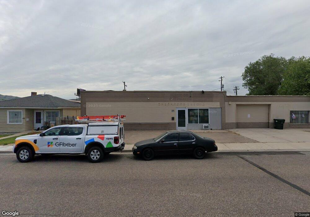
451 Pershing Ave Pocatello, ID 83201
Downtown Pocatello NeighborhoodEstimated Value: $225,086
Studio
1
Bath
3,000
Sq Ft
$75/Sq Ft
Est. Value
About This Home
This home is located at 451 Pershing Ave, Pocatello, ID 83201 and is currently estimated at $225,086, approximately $75 per square foot. 451 Pershing Ave is a home located in Bannock County with nearby schools including Lewis & Clark Elementary School, Kinport Academy, and Century High School.
Ownership History
Date
Name
Owned For
Owner Type
Purchase Details
Closed on
Jul 23, 2021
Sold by
Harmon Family Trust
Bought by
Sutton Douglas and Sutton Shaela
Current Estimated Value
Home Financials for this Owner
Home Financials are based on the most recent Mortgage that was taken out on this home.
Original Mortgage
$265,363
Outstanding Balance
$242,703
Interest Rate
2.93%
Mortgage Type
Commercial
Estimated Equity
-$17,617
Purchase Details
Closed on
Sep 10, 2015
Sold by
Cammack Don R and Cammack Nancy
Bought by
Harmon Family Trust
Create a Home Valuation Report for This Property
The Home Valuation Report is an in-depth analysis detailing your home's value as well as a comparison with similar homes in the area
Home Values in the Area
Average Home Value in this Area
Purchase History
| Date | Buyer | Sale Price | Title Company |
|---|---|---|---|
| Sutton Douglas | -- | Pioneer Title | |
| Harmon Family Trust | -- | Pioneer Title |
Source: Public Records
Mortgage History
| Date | Status | Borrower | Loan Amount |
|---|---|---|---|
| Open | Sutton Douglas | $265,363 |
Source: Public Records
Tax History
| Year | Tax Paid | Tax Assessment Tax Assessment Total Assessment is a certain percentage of the fair market value that is determined by local assessors to be the total taxable value of land and additions on the property. | Land | Improvement |
|---|---|---|---|---|
| 2025 | $2,123 | $183,375 | $25,600 | $157,775 |
| 2024 | $1,878 | $171,801 | $25,600 | $146,201 |
| 2023 | $2,016 | $152,732 | $25,600 | $127,132 |
| 2022 | $2,016 | $93,239 | $25,600 | $67,639 |
| 2021 | $1,697 | $93,239 | $25,600 | $67,639 |
| 2020 | $1,487 | $90,700 | $25,600 | $65,100 |
| 2019 | $1,813 | $90,700 | $25,600 | $65,100 |
| 2018 | $2,065 | $90,700 | $25,600 | $65,100 |
| 2017 | $2,050 | $90,700 | $25,600 | $65,100 |
| 2016 | $2,033 | $90,700 | $25,600 | $65,100 |
| 2015 | $2,543 | $0 | $0 | $0 |
| 2012 | -- | $116,001 | $25,560 | $90,441 |
Source: Public Records
Map
Nearby Homes
- 315 E Pine St
- 507 Willard Ave
- 335 Willard Ave
- 270 Taft Ave
- 402 Mckinley Ave
- 553 Mckinley Ave
- 725 E Pine St
- 172 Taft Ave
- 743 Washington Ave
- 166 Washington Ave
- 855 E Walnut St
- 129 Wayne Ave
- 238 Randolph Ave
- 168 Park Ave
- 682 Randolph Ave
- 1028 N 9th Ave
- 798 Wayne Ave
- 674 W Pine St
- 946 N 9th Ave
- TBD E Elm St
- 455 Pershing Ave
- 435 Pershing Ave
- 427 Pershing Ave
- 461 Pershing Ave
- 448 Pershing Ave
- 427 Pershing
- 417 Pershing Ave
- 411 Pershing Ave
- 420 Yellowstone Ave
- 472 Pershing Ave
- 430 Pershing Ave
- 422 Pershing Ave
- 405 Pershing Ave
- 451 Warren Ave
- 206 E Walnut St
- L13, B6 the Cottages
- L11B3 Founders Pointe
- 465 Yellowstone Ave
- 252 E Walnut St
- 441 Warren Ave
Your Personal Tour Guide
Ask me questions while you tour the home.