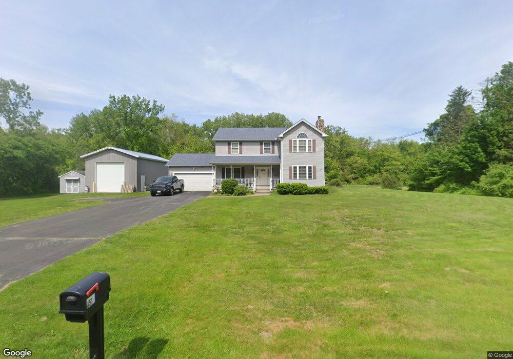
451 Pochassic Rd Westfield, MA 01085
Estimated Value: $512,000 - $599,344
4
Beds
3
Baths
2,008
Sq Ft
$284/Sq Ft
Est. Value
About This Home
This home is located at 451 Pochassic Rd, Westfield, MA 01085 and is currently estimated at $569,336, approximately $283 per square foot. 451 Pochassic Rd is a home located in Hampden County with nearby schools including Westfield High School.
Ownership History
Date
Name
Owned For
Owner Type
Purchase Details
Closed on
May 30, 2003
Sold by
Moose Meadow Brook Ll and Boisseau Maurice R
Bought by
Paulson Mary J and Paulson Steven M
Current Estimated Value
Home Financials for this Owner
Home Financials are based on the most recent Mortgage that was taken out on this home.
Original Mortgage
$160,000
Outstanding Balance
$70,494
Interest Rate
5.86%
Mortgage Type
Purchase Money Mortgage
Estimated Equity
$498,842
Create a Home Valuation Report for This Property
The Home Valuation Report is an in-depth analysis detailing your home's value as well as a comparison with similar homes in the area
Home Values in the Area
Average Home Value in this Area
Purchase History
| Date | Buyer | Sale Price | Title Company |
|---|---|---|---|
| Paulson Mary J | $260,000 | -- |
Source: Public Records
Mortgage History
| Date | Status | Borrower | Loan Amount |
|---|---|---|---|
| Open | Paulson Mary J | $160,000 |
Source: Public Records
Tax History Compared to Growth
Tax History
| Year | Tax Paid | Tax Assessment Tax Assessment Total Assessment is a certain percentage of the fair market value that is determined by local assessors to be the total taxable value of land and additions on the property. | Land | Improvement |
|---|---|---|---|---|
| 2025 | $7,294 | $480,500 | $130,000 | $350,500 |
| 2024 | $7,345 | $459,900 | $118,700 | $341,200 |
| 2023 | $6,895 | $419,800 | $112,900 | $306,900 |
| 2022 | $6,895 | $372,900 | $100,700 | $272,200 |
| 2021 | $6,697 | $354,700 | $95,100 | $259,600 |
| 2020 | $6,618 | $343,800 | $95,100 | $248,700 |
| 2019 | $6,483 | $329,600 | $90,700 | $238,900 |
| 2018 | $6,381 | $329,600 | $90,700 | $238,900 |
| 2017 | $6,238 | $321,200 | $92,000 | $229,200 |
| 2016 | $6,244 | $321,200 | $92,000 | $229,200 |
| 2015 | $5,885 | $317,400 | $92,000 | $225,400 |
| 2014 | $4,405 | $317,400 | $92,000 | $225,400 |
Source: Public Records
Map
Nearby Homes
- 549 Russell Rd Unit 6B
- 555 Russell Rd Unit D18
- 291 Pochassic Rd
- 324 Russell Rd Unit 204
- 324 Russell Rd Unit 101
- 745 West Rd
- 14 Pinewood Ln
- 148 Prospect Street Extension
- 40 Heritage Ln
- 781 Western Ave
- 11 Highland Cir
- 1020 Russell Rd
- 508 Granville Rd
- 70 Yeoman Ave
- 78 Granville Rd Unit 11
- 8 Ellis St
- 113 Franklin St
- 10 Day Lily Ln
- 77 Orange St
- 0 Fox Hill Dr
- 439 Pochassic Rd
- 390 Prospect Street Extension
- 380 Prospect Street Extension
- 460 Pochassic Rd
- 396 Prospect Street Extension
- 423 Pochassic Rd
- 370 Prospect Street Extension
- 385 Prospect Street Extension
- 377 Prospect Street Extension
- 466 Pochassic Rd
- 366 Prospect Street Extension
- 415 Pochassic Rd
- 364 Prospect Street Extension
- 367 Prospect Street Extension
- 480 Pochassic Rd
- 411 Prospect Street Extension
- 405 Prospect Street Extension
- 409 Pochassic Rd
- 362 Prospect Street Extension
- 0 Pochassic Rd