451 Route 164 Preston, CT 06365
Estimated Value: $396,000 - $475,000
3
Beds
2
Baths
1,938
Sq Ft
$231/Sq Ft
Est. Value
About This Home
This home is located at 451 Route 164, Preston, CT 06365 and is currently estimated at $447,719, approximately $231 per square foot. 451 Route 164 is a home located in New London County with nearby schools including St. Maryour Lady of the Rosary.
Create a Home Valuation Report for This Property
The Home Valuation Report is an in-depth analysis detailing your home's value as well as a comparison with similar homes in the area
Home Values in the Area
Average Home Value in this Area
Tax History
| Year | Tax Paid | Tax Assessment Tax Assessment Total Assessment is a certain percentage of the fair market value that is determined by local assessors to be the total taxable value of land and additions on the property. | Land | Improvement |
|---|---|---|---|---|
| 2025 | $5,744 | $228,760 | $61,950 | $166,810 |
| 2024 | $5,346 | $228,760 | $61,950 | $166,810 |
| 2023 | $5,250 | $228,760 | $61,950 | $166,810 |
| 2022 | $4,358 | $156,300 | $52,600 | $103,700 |
| 2021 | $4,211 | $156,300 | $52,600 | $103,700 |
| 2020 | $4,204 | $156,300 | $52,600 | $103,700 |
| 2019 | $4,131 | $156,300 | $52,600 | $103,700 |
| 2018 | $4,068 | $156,300 | $52,600 | $103,700 |
| 2017 | $4,243 | $176,800 | $54,300 | $122,500 |
| 2016 | $4,199 | $176,800 | $54,300 | $122,500 |
| 2015 | $4,066 | $176,800 | $54,300 | $122,500 |
| 2014 | $4,091 | $176,800 | $54,300 | $122,500 |
Source: Public Records
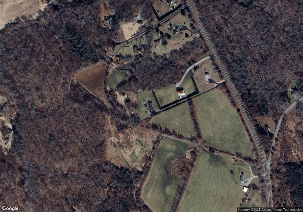
Map
Nearby Homes
- 381 Route 164
- 375 Old Jewett City Rd
- 57 NW Corner Rd
- 36 NW Corner Rd
- 55A Anna Farm Rd W
- 262 Shetucket Turnpike Unit 98
- 262 Shetucket Turnpike Unit 69
- 174 Bethel Rd
- 36 Blueberry Ln
- 15 Tunnel Hill Ct Unit LOT 9
- 576 Voluntown Rd
- 19 Cedarcrest Dr
- 300 Slater Avenue & 175 Pleasant View Dr
- 99 Benton Hill Rd
- 45 Benton Hill Rd
- 9 Mains Way
- 59 Long Society Rd
- 523 Voluntown Rd
- 58 Rixtown Rd
- 96 Burdick Ln
Your Personal Tour Guide
Ask me questions while you tour the home.