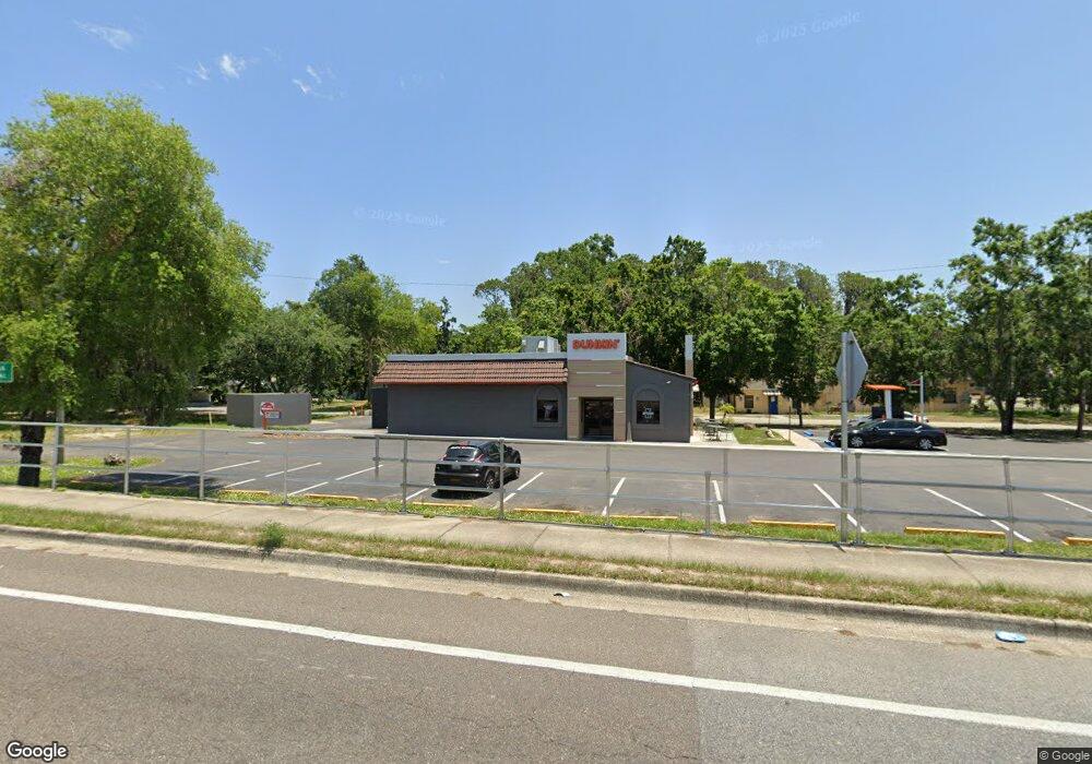
451 S Duncan Dr Tavares, FL 32778
Estimated Value: $2,618,602
--
Bed
2
Baths
1,711
Sq Ft
$1,530/Sq Ft
Est. Value
About This Home
This home is located at 451 S Duncan Dr, Tavares, FL 32778 and is currently estimated at $2,618,602, approximately $1,530 per square foot. 451 S Duncan Dr is a home located in Lake County with nearby schools including Tavares Elementary School, Tavares Middle School, and Tavares High School.
Ownership History
Date
Name
Owned For
Owner Type
Purchase Details
Closed on
Apr 14, 2015
Sold by
641 North 14Th St Llc
Bought by
Tranquility Enterprises Inc
Current Estimated Value
Purchase Details
Closed on
Feb 13, 2015
Sold by
Tremi Inc
Bought by
641 North 14Th St Llc
Purchase Details
Closed on
Apr 22, 2004
Sold by
Baseline Shuffle Inc
Bought by
Tremi Inc
Home Financials for this Owner
Home Financials are based on the most recent Mortgage that was taken out on this home.
Original Mortgage
$410,000
Interest Rate
5.38%
Mortgage Type
Commercial
Create a Home Valuation Report for This Property
The Home Valuation Report is an in-depth analysis detailing your home's value as well as a comparison with similar homes in the area
Home Values in the Area
Average Home Value in this Area
Purchase History
| Date | Buyer | Sale Price | Title Company |
|---|---|---|---|
| Tranquility Enterprises Inc | $1,180,000 | None Available | |
| 641 North 14Th St Llc | $385,000 | Attorney | |
| Tremi Inc | $291,600 | -- |
Source: Public Records
Mortgage History
| Date | Status | Borrower | Loan Amount |
|---|---|---|---|
| Previous Owner | Tremi Inc | $410,000 |
Source: Public Records
Tax History Compared to Growth
Tax History
| Year | Tax Paid | Tax Assessment Tax Assessment Total Assessment is a certain percentage of the fair market value that is determined by local assessors to be the total taxable value of land and additions on the property. | Land | Improvement |
|---|---|---|---|---|
| 2025 | $7,278 | $374,116 | $232,404 | $141,712 |
| 2024 | $7,278 | $414,799 | $232,404 | $182,395 |
| 2023 | $7,278 | $379,107 | $211,291 | $167,816 |
| 2022 | $7,104 | $359,746 | $192,083 | $167,663 |
| 2021 | $6,656 | $337,211 | $0 | $0 |
| 2020 | $7,060 | $337,356 | $0 | $0 |
| 2019 | $6,904 | $323,849 | $0 | $0 |
| 2018 | $6,337 | $298,774 | $0 | $0 |
| 2017 | $5,942 | $280,251 | $0 | $0 |
| 2016 | $5,658 | $261,713 | $0 | $0 |
| 2015 | $4,559 | $222,636 | $0 | $0 |
| 2014 | -- | $185,284 | $0 | $0 |
Source: Public Records
Map
Nearby Homes
- 0 Lion Ln Unit MFRG5097073
- 58 Kumquat Place
- 215 Rue de Paresse
- 50 Orange Place
- 4 Palm Place
- 240 Rue de Fontaine
- 9 Heron Dr
- 45 Heron Dr
- 229 Rue de Fontaine Unit 53
- 0 Summerall Ave & Sr 19
- 1109 Willow Ct
- 540 Fern Ave
- 495 Fern Ave
- 900 N Harbor Terrace Rd
- 839 Summerall Ave
- 662 Sinclair Cir
- 669 Sinclair Cir
- 1550 Palm Ave
- 938 Mansfield Rd
- 955 Mansfield Rd
- 0 Lion Ln Unit G4853328
- 0 Lion Ln Unit MFRO6252465
- 0 Lion Ln Unit MFRO6216780
- 0 Lion Ln Unit MFRO6195149
- 0 Lion Ln Unit G5029325
- 0 Lion Ln Unit G5015321
- 1012 Lake Harris Dr
- 1103 Rue de Calais Unit 27
- 209 Rue de Pont
- 227 Rue de Paresse Unit 28
- 225 Rue de Paresse Unit 29
- 207 Rue de Pont
- 212 Rue de Pont
- 500 S Duncan Dr
- 1050 Forest Dr
- 205 Rue de Pont
- 1060 Forest Dr
- 210 Rue de Pont
- 223 Rue de Paresse
- 1070 Forest Dr
