451 Vogt Rd Milton, PA 17847
Estimated Value: $291,000 - $677,218
--
Bed
--
Bath
--
Sq Ft
53.19
Acres
About This Home
This home is located at 451 Vogt Rd, Milton, PA 17847 and is currently estimated at $426,739. 451 Vogt Rd is a home with nearby schools including Milton High School.
Ownership History
Date
Name
Owned For
Owner Type
Purchase Details
Closed on
Dec 1, 2017
Sold by
Guzenski Daniel T and Guzenski Penny L
Bought by
Guzenski Daniel T and Guzenski Penny L
Current Estimated Value
Purchase Details
Closed on
Jun 23, 2017
Sold by
Shoop Scott G and Shoop Jeffrey L
Bought by
Stoltzfus Calvin and Stoltzfus Joann
Home Financials for this Owner
Home Financials are based on the most recent Mortgage that was taken out on this home.
Original Mortgage
$392,000
Outstanding Balance
$325,435
Interest Rate
3.95%
Mortgage Type
Purchase Money Mortgage
Estimated Equity
$101,304
Purchase Details
Closed on
Mar 14, 2013
Sold by
Shoop Gerald L and Shoop Charlotte A
Bought by
Shoop Scott G and Shoop Jeffrey L
Create a Home Valuation Report for This Property
The Home Valuation Report is an in-depth analysis detailing your home's value as well as a comparison with similar homes in the area
Home Values in the Area
Average Home Value in this Area
Purchase History
| Date | Buyer | Sale Price | Title Company |
|---|---|---|---|
| Guzenski Daniel T | -- | None Available | |
| Stoltzfus Calvin | $392,000 | None Available | |
| Shoop Scott G | -- | None Available |
Source: Public Records
Mortgage History
| Date | Status | Borrower | Loan Amount |
|---|---|---|---|
| Open | Stoltzfus Calvin | $392,000 |
Source: Public Records
Tax History Compared to Growth
Tax History
| Year | Tax Paid | Tax Assessment Tax Assessment Total Assessment is a certain percentage of the fair market value that is determined by local assessors to be the total taxable value of land and additions on the property. | Land | Improvement |
|---|---|---|---|---|
| 2025 | $3,752 | $32,680 | $4,920 | $27,760 |
| 2024 | $3,470 | $32,680 | $4,920 | $27,760 |
| 2023 | $363 | $3,420 | $3,420 | $0 |
| 2022 | $357 | $3,420 | $3,420 | $0 |
| 2021 | $351 | $3,420 | $3,420 | $0 |
| 2020 | $356 | $3,420 | $3,420 | $0 |
| 2019 | $345 | $3,420 | $3,420 | $0 |
| 2018 | $331 | $3,420 | $3,420 | $0 |
| 2017 | $1,396 | $15,350 | $15,350 | $0 |
| 2016 | -- | $15,350 | $15,350 | $0 |
| 2015 | -- | $15,350 | $15,350 | $0 |
| 2014 | -- | $15,350 | $15,350 | $0 |
Source: Public Records
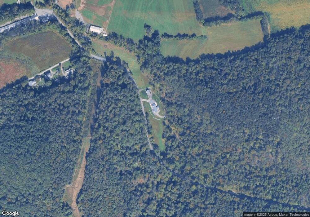
Map
Nearby Homes
- 0 Vogt Rd
- 0 Vogt Rd Unit 25438067
- 0 Vogt Rd Unit 20-96000
- 165 Mountain Rd
- LOT 7 Ridge Rd
- LOT 8 Ridge Rd
- 924 Ridge Rd
- 143 Starook Rd
- 465 2nd St
- 156 S Center St
- 128 S Center St
- LOT 3 Hollow Rd
- 2244 Ridge Rd
- 108 Ash St
- 40 Wood Ridge Ln
- LOT 39 Wood Ridge Ln
- 207 Woodridge Ln
- 226-228 Old Route 45
- 103 Greenhouse Rd
- 225 Moser Ln
- 0 Warren Rd Lot #1 Rd Unit PANU2001270
- 5 Warrens Rd
- 9 Warrens Rd
- 15 Warrens Rd
- 199 Vogt Rd
- 199 Vogt Rd
- 184 Vogt Rd
- 114 Vogt Rd
- 1570 Snyder Rd
- 1225 Snyder Rd
- 1650 Snyder Rd
- 1308 Vogt Rd
- 55 Warrens Rd
- 65 Warrens Rd
- 979 Covered Bridge Rd
- 1060 Mountain Rd
- 1170 Mountain Rd
- 127 Mountain Rd
- 70 Mountain Rd
- 870 Comfort Rd