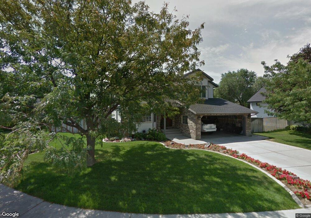
451 W 1100 N Orem, UT 84057
Bonneville NeighborhoodEstimated Value: $547,000 - $613,000
3
Beds
4
Baths
1,966
Sq Ft
$296/Sq Ft
Est. Value
About This Home
This home is located at 451 W 1100 N, Orem, UT 84057 and is currently estimated at $582,101, approximately $296 per square foot. 451 W 1100 N is a home located in Utah County with nearby schools including Bonneville Elementary School, Orem Junior High School, and Timpanogos High School.
Ownership History
Date
Name
Owned For
Owner Type
Purchase Details
Closed on
Dec 18, 2024
Sold by
Moore William B and Moore Lesley J
Bought by
Moore Family Trust and Moore
Current Estimated Value
Purchase Details
Closed on
Sep 30, 2020
Sold by
Moore Bill
Bought by
Moore William B and Moore Lesley J
Home Financials for this Owner
Home Financials are based on the most recent Mortgage that was taken out on this home.
Original Mortgage
$125,000
Interest Rate
2.9%
Mortgage Type
New Conventional
Create a Home Valuation Report for This Property
The Home Valuation Report is an in-depth analysis detailing your home's value as well as a comparison with similar homes in the area
Home Values in the Area
Average Home Value in this Area
Purchase History
| Date | Buyer | Sale Price | Title Company |
|---|---|---|---|
| Moore Family Trust | -- | None Listed On Document | |
| Moore William B | -- | Provo Land Title Co | |
| Moore Bill | -- | Provo Land Title Co |
Source: Public Records
Mortgage History
| Date | Status | Borrower | Loan Amount |
|---|---|---|---|
| Previous Owner | Moore Bill | $125,000 |
Source: Public Records
Tax History Compared to Growth
Tax History
| Year | Tax Paid | Tax Assessment Tax Assessment Total Assessment is a certain percentage of the fair market value that is determined by local assessors to be the total taxable value of land and additions on the property. | Land | Improvement |
|---|---|---|---|---|
| 2025 | $2,305 | $308,330 | $201,700 | $358,900 |
| 2024 | $2,305 | $281,820 | $0 | $0 |
| 2023 | $2,170 | $285,175 | $0 | $0 |
| 2022 | $2,165 | $275,605 | $0 | $0 |
| 2021 | $2,017 | $389,000 | $157,500 | $231,500 |
| 2020 | $1,759 | $353,000 | $126,000 | $227,000 |
| 2019 | $1,759 | $346,600 | $126,000 | $220,600 |
| 2018 | $1,691 | $318,500 | $115,200 | $203,300 |
| 2017 | $1,697 | $171,215 | $0 | $0 |
| 2016 | $1,698 | $157,960 | $0 | $0 |
| 2015 | $1,679 | $147,675 | $0 | $0 |
| 2014 | $1,517 | $132,880 | $0 | $0 |
Source: Public Records
Map
Nearby Homes
- 545 W 1240 N
- 582 W 1300 N
- 597 W 1400 N
- 417 W 750 N
- 332 W Amiron Way Unit D
- 145 W 905 N
- 1455 N Amiron Way Unit A
- 1050 N 100 W
- 1060 N 100 W
- 947 N 830 W
- 125 W 870 N
- 677 N Orem Blvd Unit 28
- 933 N 900 W
- 613 W 1550 N
- 738 N 835 W
- 999 W 1100 N
- 1018 N 985 W Unit 516
- 1527 N 275 St W Unit 4
- 1543 N 275 St W Unit 2
- 1531 N 275 St W Unit 3