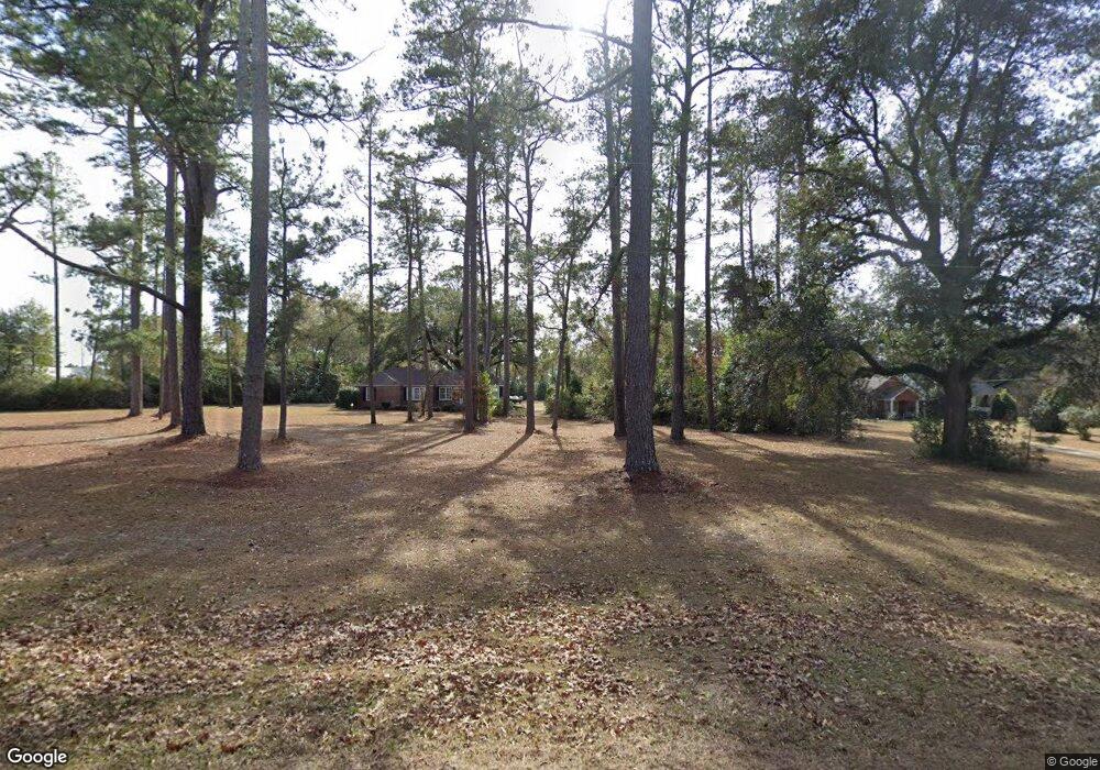
451 W Broad Ave Newton, GA 39870
Estimated Value: $110,715 - $187,000
--
Bed
--
Bath
1,681
Sq Ft
$81/Sq Ft
Est. Value
About This Home
This home is located at 451 W Broad Ave, Newton, GA 39870 and is currently estimated at $135,929, approximately $80 per square foot. 451 W Broad Ave is a home with nearby schools including Baker County School.
Ownership History
Date
Name
Owned For
Owner Type
Purchase Details
Closed on
Feb 28, 2014
Sold by
No Swat Llc
Bought by
Brazel Lila Delaine
Current Estimated Value
Purchase Details
Closed on
Jan 20, 2009
Sold by
Rhodes James R
Bought by
No Swat Llc
Purchase Details
Closed on
Jan 14, 2009
Sold by
Rhodes James Robert
Bought by
Rhodes James R
Purchase Details
Closed on
Jul 23, 2007
Sold by
Odom Curles Mary Lou
Bought by
Rhodes James R
Create a Home Valuation Report for This Property
The Home Valuation Report is an in-depth analysis detailing your home's value as well as a comparison with similar homes in the area
Home Values in the Area
Average Home Value in this Area
Purchase History
| Date | Buyer | Sale Price | Title Company |
|---|---|---|---|
| Brazel Lila Delaine | $55,000 | -- | |
| No Swat Llc | $50,000 | -- | |
| Rhodes James R | -- | -- | |
| Rhodes James R | -- | -- |
Source: Public Records
Tax History Compared to Growth
Tax History
| Year | Tax Paid | Tax Assessment Tax Assessment Total Assessment is a certain percentage of the fair market value that is determined by local assessors to be the total taxable value of land and additions on the property. | Land | Improvement |
|---|---|---|---|---|
| 2024 | $722 | $29,373 | $3,139 | $26,234 |
| 2023 | $943 | $29,373 | $3,139 | $26,234 |
| 2022 | $682 | $25,395 | $3,139 | $22,256 |
| 2021 | $682 | $25,395 | $3,139 | $22,256 |
| 2020 | $683 | $25,395 | $3,139 | $22,256 |
| 2019 | $683 | $25,395 | $3,139 | $22,256 |
| 2018 | $775 | $25,395 | $3,139 | $22,256 |
| 2017 | $775 | $25,395 | $3,139 | $22,256 |
| 2016 | $657 | $25,395 | $3,139 | $22,256 |
| 2015 | $834 | $27,325 | $2,962 | $24,363 |
| 2011 | -- | $27,324 | $2,962 | $24,362 |
Source: Public Records
Map
Nearby Homes
- 361 W Broad Ave
- 0 W Broad Ave Unit 103626
- 376 W Broad Ave
- 347 Broad Ave
- 370 Sunset Ave SW
- 371 W Broad Ave
- 331 W Broad Ave
- 311 W Broad Ave
- 342 W Broad Ave
- 410 Sunset Ave SW
- 00 Georgia 91
- TBD Georgia 91
- 415 W Broad Ave
- 0 Ga 91 Unit 8035512
- 334 Sunset Ave SW
- 410 W Broad Ave
- 347 Joan Ave NW
- 430 Sunset Ave SW
- 205 Sunset Ave
- 369 Joan Ave NW
