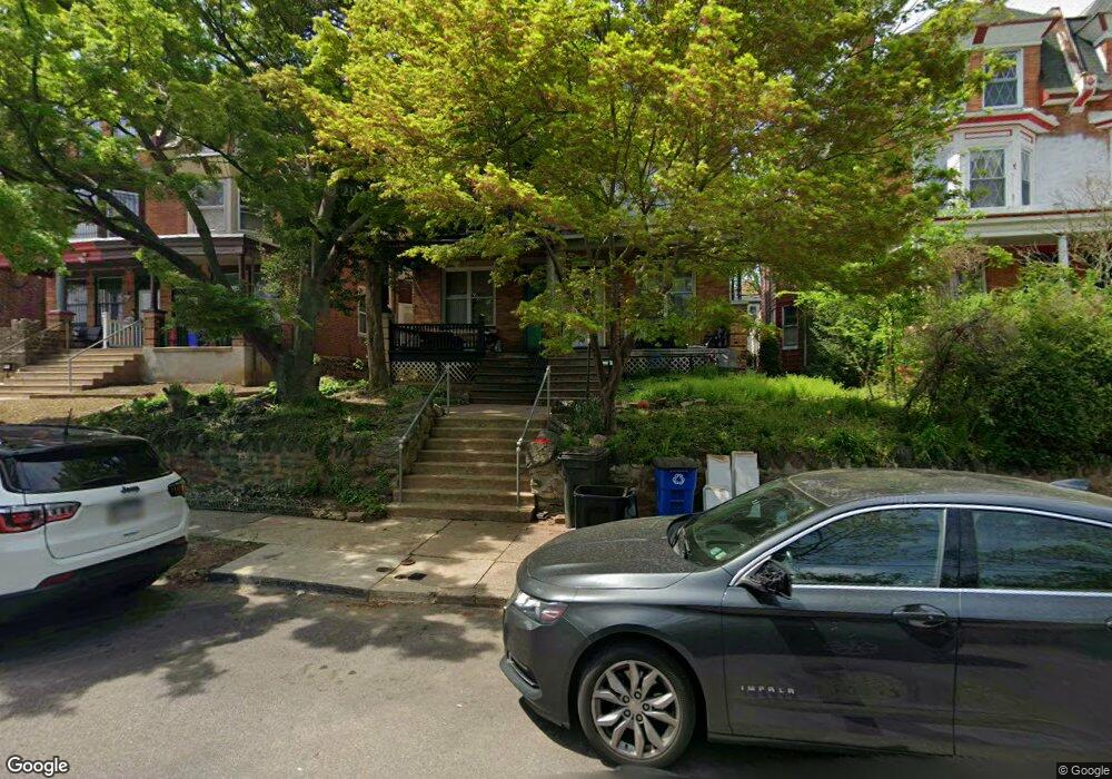
451 W Hansberry St Philadelphia, PA 19144
Germantown NeighborhoodEstimated Value: $230,000 - $330,888
--
Bed
--
Bath
2,631
Sq Ft
$112/Sq Ft
Est. Value
About This Home
This home is located at 451 W Hansberry St, Philadelphia, PA 19144 and is currently estimated at $294,963, approximately $112 per square foot. 451 W Hansberry St is a home located in Philadelphia County with nearby schools including John B. Kelly School, Roosevelt Theodore Middle School, and Oak Street Elementary School.
Ownership History
Date
Name
Owned For
Owner Type
Purchase Details
Closed on
Aug 28, 2002
Sold by
Perry Susan H
Bought by
Green Derek and Green Ursula Rucker
Current Estimated Value
Home Financials for this Owner
Home Financials are based on the most recent Mortgage that was taken out on this home.
Original Mortgage
$84,250
Outstanding Balance
$34,903
Interest Rate
6.39%
Mortgage Type
FHA
Estimated Equity
$260,060
Create a Home Valuation Report for This Property
The Home Valuation Report is an in-depth analysis detailing your home's value as well as a comparison with similar homes in the area
Home Values in the Area
Average Home Value in this Area
Purchase History
| Date | Buyer | Sale Price | Title Company |
|---|---|---|---|
| Green Derek | $85,000 | -- |
Source: Public Records
Mortgage History
| Date | Status | Borrower | Loan Amount |
|---|---|---|---|
| Open | Green Derek | $84,250 |
Source: Public Records
Tax History Compared to Growth
Tax History
| Year | Tax Paid | Tax Assessment Tax Assessment Total Assessment is a certain percentage of the fair market value that is determined by local assessors to be the total taxable value of land and additions on the property. | Land | Improvement |
|---|---|---|---|---|
| 2026 | $3,099 | $315,100 | $63,020 | $252,080 |
| 2025 | $3,099 | $315,100 | $63,020 | $252,080 |
| 2024 | $3,099 | $315,100 | $63,020 | $252,080 |
| 2023 | $3,099 | $221,400 | $44,280 | $177,120 |
| 2022 | $1,956 | $221,400 | $44,280 | $177,120 |
| 2021 | $1,956 | $0 | $0 | $0 |
| 2020 | $1,956 | $0 | $0 | $0 |
| 2019 | $1,930 | $0 | $0 | $0 |
| 2018 | $2,122 | $0 | $0 | $0 |
| 2017 | $2,122 | $0 | $0 | $0 |
| 2016 | $2,122 | $0 | $0 | $0 |
| 2015 | $2,111 | $0 | $0 | $0 |
| 2014 | -- | $157,500 | $19,217 | $138,283 |
| 2012 | -- | $20,480 | $2,233 | $18,247 |
Source: Public Records
Map
Nearby Homes
- 5225 Mckean Ave
- 538 W Queen Ln
- 508 W King St
- 5238 Morris St
- 494 W King St
- 434 W Penn St
- 332 W Queen Ln
- 510 W Midvale Ave
- 508 W Midvale Ave
- 417 W Penn St
- 337 W Penn St
- 5027 Morris St
- 5347 Priscilla St
- 5349 Priscilla St
- 260 W Queen Ln
- 5113 Pulaski Ave
- 316 W Earlham Terrace
- 5010 Copley Rd
- 300 W Coulter St
- 310 W Earlham Terrace
- 453 W Hansberry St
- 455 W Hansberry St
- 449 W Hansberry St
- 457 W Hansberry St
- 447 W Hansberry St
- 459 W Hansberry St
- 445 W Hansberry St
- 452 W Bringhurst St
- 454 W Bringhurst St
- 450 W Bringhurst St
- 443 W Hansberry St
- 456 W Bringhurst St
- 448 W Bringhurst St
- 446 W Bringhurst St
- 458 W Bringhurst St
- 441 W Hansberry St
- 444 W Bringhurst St Unit 2
- 444 W Bringhurst St
- 444 W Bringhurst St Unit 3
- 444 W Bringhurst St Unit 1