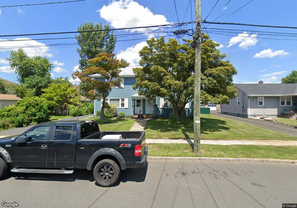
451 W Maple Ave Bound Brook, NJ 08805
Estimated Value: $617,541 - $724,000
Studio
--
Bath
2,430
Sq Ft
$280/Sq Ft
Est. Value
About This Home
This home is located at 451 W Maple Ave, Bound Brook, NJ 08805 and is currently estimated at $680,885, approximately $280 per square foot. 451 W Maple Ave is a home located in Somerset County with nearby schools including LaMonte Annex Elementary School, Lafayette Elementary School, and Bound Brook High School.
Ownership History
Date
Name
Owned For
Owner Type
Purchase Details
Closed on
Jun 17, 2008
Sold by
Quinn George A and Quinn Natalie
Bought by
Acosta Lynette
Current Estimated Value
Home Financials for this Owner
Home Financials are based on the most recent Mortgage that was taken out on this home.
Original Mortgage
$396,000
Outstanding Balance
$254,760
Interest Rate
6.1%
Mortgage Type
Purchase Money Mortgage
Estimated Equity
$426,125
Create a Home Valuation Report for This Property
The Home Valuation Report is an in-depth analysis detailing your home's value as well as a comparison with similar homes in the area
Home Values in the Area
Average Home Value in this Area
Purchase History
| Date | Buyer | Sale Price | Title Company |
|---|---|---|---|
| Acosta Lynette | $440,000 | Trans County Title Agency Ll |
Source: Public Records
Mortgage History
| Date | Status | Borrower | Loan Amount |
|---|---|---|---|
| Open | Acosta Lynette | $396,000 |
Source: Public Records
Tax History
| Year | Tax Paid | Tax Assessment Tax Assessment Total Assessment is a certain percentage of the fair market value that is determined by local assessors to be the total taxable value of land and additions on the property. | Land | Improvement |
|---|---|---|---|---|
| 2025 | $10,689 | $497,300 | $235,600 | $261,700 |
| 2024 | $10,689 | $471,100 | $216,600 | $254,500 |
| 2023 | $10,295 | $436,600 | $188,100 | $248,500 |
| 2022 | $10,091 | $405,600 | $169,100 | $236,500 |
| 2021 | $9,708 | $345,000 | $131,100 | $213,900 |
| 2020 | $9,440 | $305,800 | $112,100 | $193,700 |
| 2019 | $9,284 | $286,800 | $93,100 | $193,700 |
| 2018 | $8,778 | $263,300 | $93,100 | $170,200 |
| 2017 | $8,804 | $258,100 | $93,100 | $165,000 |
| 2016 | $9,528 | $281,400 | $74,100 | $207,300 |
| 2015 | $10,400 | $314,100 | $78,900 | $235,200 |
| 2014 | $10,767 | $314,100 | $78,900 | $235,200 |
Source: Public Records
Map
Nearby Homes
- 428 Helfin St
- 617 Vosseller Ave
- 561 Marion St
- 514 Longwood Ave
- 418 Stratford Place
- 20 Hayward St
- 153 W Union Ave
- 280 Metape Cir S
- 154 W High St
- 126 W High St
- 28 Fisher Ave
- 520 Winsor St
- 432 Talmage Ave
- 430 Talmadge Ave
- 125 Linden Ave
- 261 W Main St
- 272 W Main St
- 650 Central Ave
- 17 Talmage Ave
- 29-31 John St
- 445 W Maple Ave
- 441 W Maple Ave
- 510 Thompson Ave
- 512 Thompson Ave
- 437 W Maple Ave
- 455 W Maple Ave
- 444 William St
- 514 Thompson Ave
- 448 William St
- 408 William St Unit 406
- 416 William St
- 433 W Maple Ave
- 414 William St
- 448 W Maple Ave
- 446 W Maple Ave
- 452 W Maple Ave
- 516 Thompson Ave
- 456 W Maple Ave
- 438 W Maple Ave
- 430 Thompson Ave
Your Personal Tour Guide
Ask me questions while you tour the home.