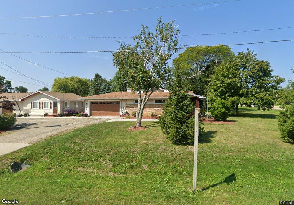
4510 69th Dr Union Grove, WI 53182
Estimated Value: $477,000 - $602,000
3
Beds
2
Baths
1,728
Sq Ft
$323/Sq Ft
Est. Value
About This Home
This home is located at 4510 69th Dr, Union Grove, WI 53182 and is currently estimated at $558,522, approximately $323 per square foot. 4510 69th Dr is a home located in Racine County with nearby schools including Union Grove Elementary School, Union Grove High School, and Union Grove Christian School.
Ownership History
Date
Name
Owned For
Owner Type
Purchase Details
Closed on
Sep 15, 2006
Sold by
Miller Revoc Trust
Bought by
Maass Danny R and Maass Shannon M
Current Estimated Value
Home Financials for this Owner
Home Financials are based on the most recent Mortgage that was taken out on this home.
Original Mortgage
$43,500
Interest Rate
6.25%
Mortgage Type
Stand Alone Second
Create a Home Valuation Report for This Property
The Home Valuation Report is an in-depth analysis detailing your home's value as well as a comparison with similar homes in the area
Home Values in the Area
Average Home Value in this Area
Purchase History
| Date | Buyer | Sale Price | Title Company |
|---|---|---|---|
| Maass Danny R | $290,000 | -- |
Source: Public Records
Mortgage History
| Date | Status | Borrower | Loan Amount |
|---|---|---|---|
| Closed | Maass Danny R | $43,500 | |
| Open | Maass Danny R | $232,000 |
Source: Public Records
Tax History Compared to Growth
Tax History
| Year | Tax Paid | Tax Assessment Tax Assessment Total Assessment is a certain percentage of the fair market value that is determined by local assessors to be the total taxable value of land and additions on the property. | Land | Improvement |
|---|---|---|---|---|
| 2024 | $8,174 | $494,100 | $106,300 | $387,800 |
| 2023 | $8,167 | $494,100 | $106,300 | $387,800 |
| 2022 | $7,479 | $434,700 | $106,300 | $328,400 |
| 2021 | $7,021 | $434,700 | $106,300 | $328,400 |
| 2020 | $6,747 | $334,600 | $65,300 | $269,300 |
| 2019 | $6,755 | $325,900 | $65,300 | $260,600 |
| 2018 | $5,809 | $294,000 | $65,300 | $228,700 |
| 2017 | $6,826 | $320,000 | $51,300 | $268,700 |
| 2016 | $6,435 | $301,600 | $51,300 | $250,300 |
| 2015 | $6,731 | $301,600 | $51,300 | $250,300 |
| 2014 | $6,624 | $301,600 | $51,300 | $250,300 |
| 2013 | $6,433 | $281,600 | $51,300 | $230,300 |
Source: Public Records
Map
Nearby Homes
- 18433 Durand Ave
- 18324 Durand Ave
- 4600 69th Dr
- 18443 Durand Ave
- 18428 Durand Ave
- 18310 Durand Ave
- 18503 Durand Ave
- 4610 69th Dr
- 1400 Lincolnwood Dr
- 18426 Durand Ave
- 18426 Durand Ave
- 18426 Durand Ave
- 18426 Durand Ave
- 18426 Durand Ave
- 18426 Durand Ave Unit 18426
- 18517 Durand Ave
- 405 Oakhurst Ave
- 1404 Lincolnwood Dr
- 402 Oakhurst Ave
- 407 Oakhurst Ave