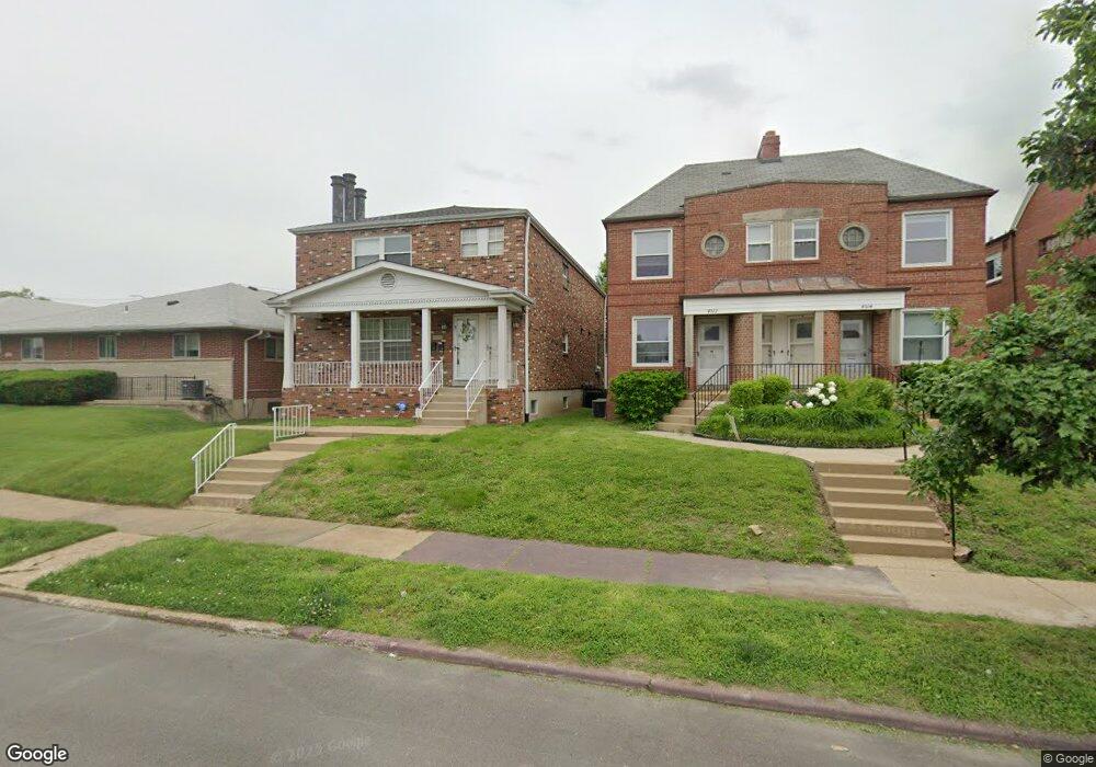
4510 Jamieson Ave Saint Louis, MO 63109
Lindenwood Park NeighborhoodEstimated Value: $372,902 - $439,000
--
Bed
1
Bath
2,916
Sq Ft
$144/Sq Ft
Est. Value
About This Home
This home is located at 4510 Jamieson Ave, Saint Louis, MO 63109 and is currently estimated at $418,976, approximately $143 per square foot. 4510 Jamieson Ave is a home located in St. Louis City with nearby schools including Buder Elementary School, Long International Middle School, and Roosevelt High School.
Ownership History
Date
Name
Owned For
Owner Type
Purchase Details
Closed on
Jun 21, 2024
Sold by
Herrera Helar Ramiro and Sanchez Mery Margarita
Bought by
4510Hs Llc
Current Estimated Value
Purchase Details
Closed on
Oct 13, 2022
Sold by
Florence Mastis Revocable Trust
Bought by
Herrera Helar Ramiro and Sanchez Mery Margarita
Purchase Details
Closed on
Apr 24, 2000
Sold by
Mastis Frank J & Florence Trs
Bought by
Mastis Florence and Mastis Frank J
Create a Home Valuation Report for This Property
The Home Valuation Report is an in-depth analysis detailing your home's value as well as a comparison with similar homes in the area
Home Values in the Area
Average Home Value in this Area
Purchase History
| Date | Buyer | Sale Price | Title Company |
|---|---|---|---|
| 4510Hs Llc | -- | None Listed On Document | |
| Herrera Helar Ramiro | -- | Investors Title | |
| Mastis Florence | -- | -- |
Source: Public Records
Tax History Compared to Growth
Tax History
| Year | Tax Paid | Tax Assessment Tax Assessment Total Assessment is a certain percentage of the fair market value that is determined by local assessors to be the total taxable value of land and additions on the property. | Land | Improvement |
|---|---|---|---|---|
| 2025 | $3,342 | $47,040 | $2,360 | $44,680 |
| 2024 | $3,179 | $39,590 | $2,360 | $37,230 |
| 2023 | $3,179 | $39,590 | $2,360 | $37,230 |
| 2022 | $3,021 | $36,210 | $2,360 | $33,850 |
| 2021 | $3,017 | $36,210 | $2,360 | $33,850 |
| 2020 | $2,994 | $36,210 | $2,360 | $33,850 |
| 2019 | $2,983 | $36,220 | $2,360 | $33,860 |
| 2018 | $2,767 | $32,530 | $2,110 | $30,420 |
| 2017 | $2,720 | $32,530 | $2,110 | $30,420 |
| 2016 | $2,273 | $26,790 | $2,110 | $24,680 |
| 2015 | $2,061 | $26,790 | $2,110 | $24,680 |
| 2014 | $2,023 | $26,790 | $2,110 | $24,680 |
| 2013 | -- | $26,300 | $2,110 | $24,190 |
Source: Public Records
Map
Nearby Homes
- 6709 Lansdowne Ave
- 6663 Devonshire Ave
- 6637 Devonshire Ave Unit 2
- 6927-6931 Sutherland Ave
- 4721 Jamieson Ave Unit 6
- 4719 Jamieson Ave Unit 4
- 6968 Lansdowne Ave
- 6962 Sutherland Ave
- 6600 Devonshire Ave Unit 5
- 6561 Bancroft Ave
- 7044 Lansdowne Ave
- 6973 Winona Ave
- 7048 Lansdowne Ave
- 7059 Lansdowne Ave
- 7081 Bancroft Ave
- 3815 Mccausland Ave Unit 4
- 6409 Sutherland Ave
- 7081 Winona Ave
- 7114 Bancroft Ave
- 6541 Lindenwood Place
- 4510 Jamieson Ave
- 4510 Jamieson Ave Unit 1
- 4512 Jamieson Ave
- 4506 Jamieson Ave
- 4516 Jamieson Ave
- 4516 Jamieson Ave Unit A
- 4500 Jamieson Ave
- 4520 Jamieson Ave
- 6830 Lansdowne Ave
- 6769 Plainview Ave
- 6828 Lansdowne Ave
- 6765 Plainview Ave
- 6761 Plainview Ave
- 4600 Jamieson Ave
- 4515 Jamieson Ave
- 4602 Jamieson Ave
- 6820 Lansdowne Ave
- 4509 Jamieson Ave
- 4519 Jamieson Ave
- 4505 Jamieson Ave