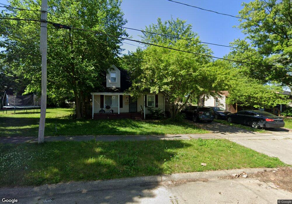
4510 Milton Dr Flint, MI 48507
Circle Drive NeighborhoodEstimated Value: $53,000 - $79,000
3
Beds
1
Bath
1,218
Sq Ft
$58/Sq Ft
Est. Value
About This Home
This home is located at 4510 Milton Dr, Flint, MI 48507 and is currently estimated at $70,523, approximately $57 per square foot. 4510 Milton Dr is a home located in Genesee County with nearby schools including Freeman Elementary School, Flint Southwestern Classical Academy, and International Academy of Flint (K-12).
Ownership History
Date
Name
Owned For
Owner Type
Purchase Details
Closed on
Nov 16, 2018
Sold by
Raymond Paul S
Bought by
Psr Property Holdings Llc
Current Estimated Value
Home Financials for this Owner
Home Financials are based on the most recent Mortgage that was taken out on this home.
Original Mortgage
$24,000
Outstanding Balance
$21,392
Interest Rate
5.5%
Mortgage Type
Adjustable Rate Mortgage/ARM
Estimated Equity
$49,131
Purchase Details
Closed on
Aug 26, 2009
Sold by
Secretary Of Housing & Urban Development
Bought by
Psr Property Holdings Llc
Purchase Details
Closed on
Mar 9, 2009
Sold by
Wells Fargo Bank Na
Bought by
The Secretary Of Housing & Urban Develop
Purchase Details
Closed on
Feb 6, 2009
Sold by
Nelson Erick and Nelson Wendy
Bought by
Wells Fargo Bank Na
Create a Home Valuation Report for This Property
The Home Valuation Report is an in-depth analysis detailing your home's value as well as a comparison with similar homes in the area
Home Values in the Area
Average Home Value in this Area
Purchase History
| Date | Buyer | Sale Price | Title Company |
|---|---|---|---|
| Psr Property Holdings Llc | -- | Cislo Title Co | |
| Raymond Paul S | -- | Cislo Title Co | |
| Psr Property Holdings Llc | $10,103 | None Available | |
| The Secretary Of Housing & Urban Develop | -- | None Available | |
| Wells Fargo Bank Na | $52,967 | None Available |
Source: Public Records
Mortgage History
| Date | Status | Borrower | Loan Amount |
|---|---|---|---|
| Open | Raymond Paul S | $24,000 |
Source: Public Records
Tax History Compared to Growth
Tax History
| Year | Tax Paid | Tax Assessment Tax Assessment Total Assessment is a certain percentage of the fair market value that is determined by local assessors to be the total taxable value of land and additions on the property. | Land | Improvement |
|---|---|---|---|---|
| 2025 | $1,114 | $22,700 | $0 | $0 |
| 2024 | $1,033 | $22,300 | $0 | $0 |
| 2023 | $1,010 | $17,100 | $0 | $0 |
| 2022 | $0 | $13,800 | $0 | $0 |
| 2021 | $1,023 | $13,700 | $0 | $0 |
| 2020 | $942 | $12,300 | $0 | $0 |
| 2019 | $921 | $10,100 | $0 | $0 |
| 2018 | $755 | $10,000 | $0 | $0 |
| 2017 | $737 | $0 | $0 | $0 |
| 2016 | $732 | $0 | $0 | $0 |
| 2015 | -- | $0 | $0 | $0 |
| 2014 | -- | $0 | $0 | $0 |
| 2012 | -- | $10,100 | $0 | $0 |
Source: Public Records
Map
Nearby Homes
- 4010 Milton Dr
- 326 Burroughs Ave
- 4205 Red Arrow Rd
- 4127 Custer Ave
- 1453 Carman St
- 0 Allen St Unit 50168596
- 1324 Allen St
- 454 E Atherton Rd
- 3902 Cuthbertson St
- 1393 Carman St
- 1325 Norton St
- 621 Burroughs Ave
- 115 E Livingston Dr
- 652 Huron St
- 631 Campbell St
- 627 Campbell St
- 630 Buckingham Ave
- 647 Crawford St
- 1230 E Decamp St
- 213 E Lakeview Ave
- 4502 Milton Dr
- 4518 Milton Dr
- 209 Browning Ave
- 201 Browning Ave
- 4522 Milton Dr
- 215 Browning Ave
- 4513 Milton Dr
- 4507 Milton Dr
- 4526 Milton Dr
- 4519 Milton Dr
- 4501 Milton Dr
- 221 Browning Ave
- 4525 Milton Dr
- 4530 Milton Dr
- 212 Browning Ave
- 202 Browning Ave
- 4531 Milton Dr
- 225 Browning Ave
- 216 Browning Ave
- 4526 Bryant St