4510 Sparky Dr Unit D Las Vegas, NV 89102
Richfield NeighborhoodEstimated Value: $159,000 - $190,473
2
Beds
2
Baths
922
Sq Ft
$196/Sq Ft
Est. Value
About This Home
This home is located at 4510 Sparky Dr Unit D, Las Vegas, NV 89102 and is currently estimated at $181,118, approximately $196 per square foot. 4510 Sparky Dr Unit D is a home located in Clark County with nearby schools including Rex Bell Elementary School, James Cashman Middle School, and Ed W Clark High School.
Ownership History
Date
Name
Owned For
Owner Type
Purchase Details
Closed on
May 23, 2001
Sold by
Twing Christina M
Bought by
Parker Wilma O and Wilma O Parker Family Trust
Current Estimated Value
Purchase Details
Closed on
Nov 1, 1997
Sold by
Twing Christina M and Parker Wilma O
Bought by
Twing Christina M and Parker Wilma O
Purchase Details
Closed on
Feb 14, 1994
Sold by
Syrovy Marie R
Bought by
Twing Christina M and Parker Wilma O
Create a Home Valuation Report for This Property
The Home Valuation Report is an in-depth analysis detailing your home's value as well as a comparison with similar homes in the area
Home Values in the Area
Average Home Value in this Area
Purchase History
| Date | Buyer | Sale Price | Title Company |
|---|---|---|---|
| Parker Wilma O | $54,000 | -- | |
| Twing Christina M | -- | -- | |
| Twing Christina M | $12,000 | Nevada Title Company |
Source: Public Records
Tax History Compared to Growth
Tax History
| Year | Tax Paid | Tax Assessment Tax Assessment Total Assessment is a certain percentage of the fair market value that is determined by local assessors to be the total taxable value of land and additions on the property. | Land | Improvement |
|---|---|---|---|---|
| 2025 | $674 | $30,522 | $17,150 | $13,372 |
| 2024 | $674 | $30,522 | $17,150 | $13,372 |
| 2023 | $674 | $29,946 | $17,150 | $12,796 |
| 2022 | $484 | $26,052 | $14,000 | $12,052 |
| 2021 | $449 | $25,494 | $13,650 | $11,844 |
| 2020 | $433 | $25,612 | $13,650 | $11,962 |
| 2019 | $427 | $22,192 | $10,150 | $12,042 |
| 2018 | $408 | $18,573 | $6,650 | $11,923 |
| 2017 | $516 | $17,608 | $5,250 | $12,358 |
| 2016 | $388 | $16,681 | $4,200 | $12,481 |
| 2015 | $385 | $16,312 | $3,500 | $12,812 |
| 2014 | $374 | $13,071 | $3,500 | $9,571 |
Source: Public Records
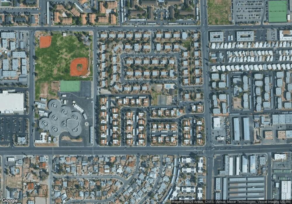
Map
Nearby Homes
- 4451 Rich Dr Unit D
- 4444 W Desert Inn Rd Unit A
- 3253 Savalli St Unit D
- 3275 Arville St Unit C
- 3217 Arville St
- 4530 Sparky Dr Unit A
- 4730 S Pioneer Ave
- 4504 Del Oro Dr
- 4501 Buena Vista Dr
- 3142 Juanita Dr
- 3165 Batavia Dr
- 4511 Sirius Ave
- 4565 Sirius Ave
- 4622 Scott Ave
- 3567 Arville St Unit 706B
- 3585 Arville St Unit 403A
- 3585 Arville St Unit 401A
- 4017 Edgeford Place
- 4015 Edgeford Place
- 3904 Milford Place
- 4510 Sparky Dr
- 4510 Sparky Dr Unit B
- 4510 Sparky Dr Unit A
- 4520 Sparky Dr Unit A
- 4520 Sparky Dr Unit B
- 4520 Sparky Dr Unit D
- 4520 Sparky Dr Unit C
- 4511 Del Oro Dr
- 4517 Del Oro Dr Unit none
- 4517 Del Oro Dr
- 4517 Del Oro Dr Unit non
- 4530 Sparky Dr
- 4530 Sparky Dr Unit C
- 4530 Sparky Dr Unit B
- 4530 Sparky Dr Unit D
- 3233 Savalli St Unit C
- 3233 Savalli St Unit A
- 3233 Savalli St Unit D
- 3233 Savalli St Unit B
- 4470 Rich Dr Unit B