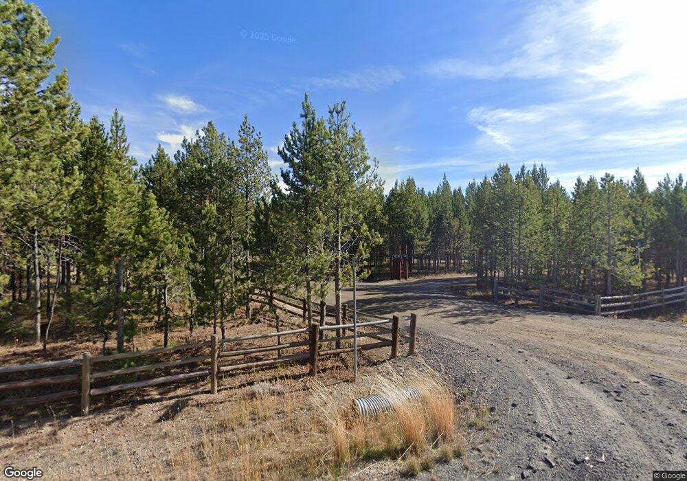
4510 Weslin Trail Island Park, ID 83429
Estimated Value: $736,000 - $843,000
4
Beds
2
Baths
2,177
Sq Ft
$363/Sq Ft
Est. Value
About This Home
This home is located at 4510 Weslin Trail, Island Park, ID 83429 and is currently estimated at $790,649, approximately $363 per square foot. 4510 Weslin Trail is a home located in Fremont County with nearby schools including Ashton Elementary School, North Fremont Junior/Senior High School, and Island Park Charter School.
Ownership History
Date
Name
Owned For
Owner Type
Purchase Details
Closed on
Jun 12, 2020
Sold by
B & T Hunt Family Estate Trust
Bought by
Hunt Brad W and Hunt Tonya
Current Estimated Value
Home Financials for this Owner
Home Financials are based on the most recent Mortgage that was taken out on this home.
Original Mortgage
$212,500
Outstanding Balance
$149,386
Interest Rate
3.2%
Mortgage Type
New Conventional
Estimated Equity
$641,263
Purchase Details
Closed on
Oct 26, 2016
Sold by
Hunt Brad and Hunt Tonya
Bought by
Hunt Brad and Hunt Tonya
Purchase Details
Closed on
Jul 12, 2006
Sold by
Dawson Gary R and Dawson Yvonae F
Bought by
Hunt Brad and Hunt Tonya
Home Financials for this Owner
Home Financials are based on the most recent Mortgage that was taken out on this home.
Original Mortgage
$34,584
Interest Rate
6.17%
Mortgage Type
Stand Alone Second
Create a Home Valuation Report for This Property
The Home Valuation Report is an in-depth analysis detailing your home's value as well as a comparison with similar homes in the area
Home Values in the Area
Average Home Value in this Area
Purchase History
| Date | Buyer | Sale Price | Title Company |
|---|---|---|---|
| Hunt Brad W | -- | First American Title | |
| Hunt Brad | -- | None Available | |
| Hunt Brad | -- | -- |
Source: Public Records
Mortgage History
| Date | Status | Borrower | Loan Amount |
|---|---|---|---|
| Open | Hunt Brad W | $212,500 | |
| Previous Owner | Hunt Brad | $34,584 | |
| Previous Owner | Hunt Brad | $184,452 |
Source: Public Records
Tax History Compared to Growth
Tax History
| Year | Tax Paid | Tax Assessment Tax Assessment Total Assessment is a certain percentage of the fair market value that is determined by local assessors to be the total taxable value of land and additions on the property. | Land | Improvement |
|---|---|---|---|---|
| 2025 | $3,925 | $707,580 | $71,100 | $636,480 |
| 2024 | $3,925 | $689,331 | $65,000 | $624,331 |
| 2023 | $3,955 | $689,331 | $65,000 | $624,331 |
| 2022 | $4,264 | $544,928 | $55,850 | $489,078 |
| 2021 | $3,815 | $355,511 | $34,060 | $321,451 |
| 2020 | $3,760 | $328,688 | $30,654 | $298,034 |
| 2019 | $3,686 | $328,688 | $30,654 | $298,034 |
| 2018 | $3,609 | $307,399 | $30,654 | $276,745 |
| 2017 | $33 | $257,414 | $29,632 | $227,782 |
| 2016 | $3,262 | $257,414 | $29,632 | $227,782 |
| 2015 | $3,221 | $257,414 | $0 | $0 |
| 2014 | $2,883 | $257,414 | $0 | $0 |
| 2013 | $2,883 | $257,925 | $0 | $0 |
Source: Public Records
Map
Nearby Homes
- 4513 Jm Loop
- 4515 Weslin Trail
- 4501 Jm Loop E
- 4509 Sawtelle Peak Rd
- 4498 Stone Run
- 4460 Brody's Cove
- 4473 Boulders
- 4459 Sandstone Rd
- 4448 Stone Run
- 4070 Southgate
- 4027 N Salt Lick Loop Rd
- 4030 S Salt Lick Loop
- 4119 Huckleberry Ln
- 4128 Sawtelle Peak Rd
- 4143 Huckleberry Ln
- TBD Hwy 20
- 4419 Two Top Rd
- 4406 2 Top Rd
- 4355 Yeti Ln
- 4345 Yeti Ln
- 4506 Weslin Trail
- 4496 Jim Loop E
- 4513 E Jm Loop Rd
- 4495 Weslin Trail
- 4520 Weslin Trail
- 4517 Jm Loop E
- 4505 Jm Loop
- 4519 Weslin Trail
- 4514 J M Loop W
- 4492 E Jm Loop Rd
- 4507 Weslin Trail
- 4522 Weslin Trail
- 4503 Weslin Trail
- 4512 J M Loop E
- 4516 J M Loop E
- 4525 Weslin Trail
- 4496 E Jm Loop Rd
- 4515 J M Loop W
- 4504 J M Loop E
- 4516 E Jm Loop Rd
