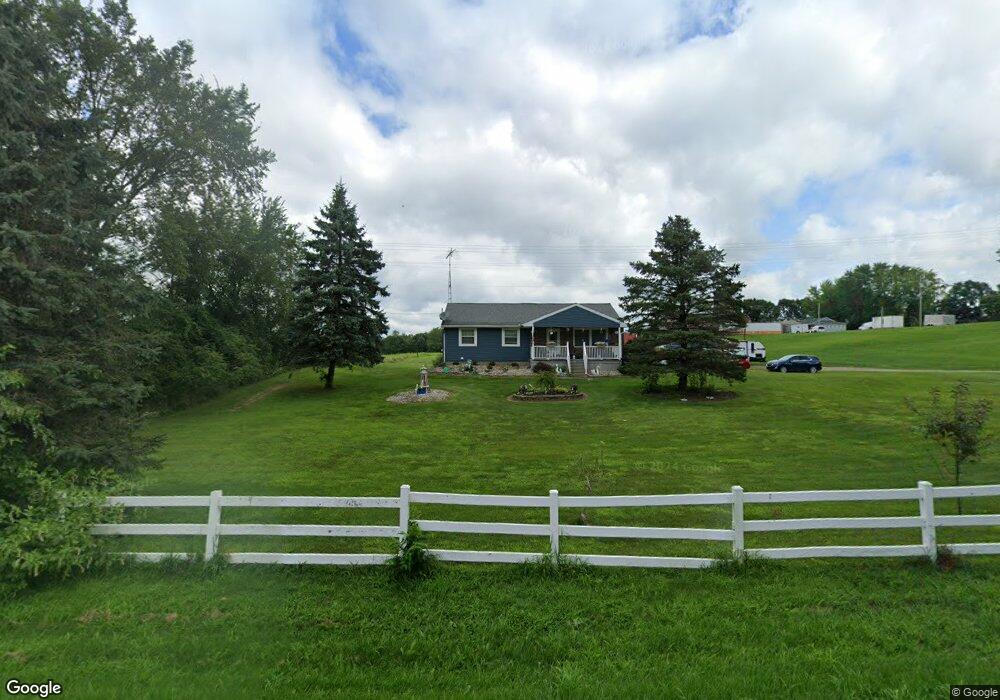
4510 Wood Rd Rives Junction, MI 49277
Estimated Value: $200,000 - $337,462
3
Beds
3
Baths
1,232
Sq Ft
$240/Sq Ft
Est. Value
About This Home
This home is located at 4510 Wood Rd, Rives Junction, MI 49277 and is currently estimated at $295,366, approximately $239 per square foot. 4510 Wood Rd is a home located in Jackson County with nearby schools including Northwest Early Elementary School, Northwest Elementary School, and Northwest Middle School.
Ownership History
Date
Name
Owned For
Owner Type
Purchase Details
Closed on
Feb 1, 2001
Sold by
Haydo Vicky L
Bought by
Thomas George D and Thomas Sharon A
Current Estimated Value
Home Financials for this Owner
Home Financials are based on the most recent Mortgage that was taken out on this home.
Original Mortgage
$81,000
Outstanding Balance
$28,886
Interest Rate
6.91%
Estimated Equity
$266,480
Purchase Details
Closed on
Dec 19, 1997
Sold by
Haydo Vickie
Bought by
Thomas George D and Thomas Sharon A
Create a Home Valuation Report for This Property
The Home Valuation Report is an in-depth analysis detailing your home's value as well as a comparison with similar homes in the area
Home Values in the Area
Average Home Value in this Area
Purchase History
| Date | Buyer | Sale Price | Title Company |
|---|---|---|---|
| Thomas George D | $15,000 | Chicago Title | |
| Thomas George D | -- | -- |
Source: Public Records
Mortgage History
| Date | Status | Borrower | Loan Amount |
|---|---|---|---|
| Open | Thomas George D | $81,000 |
Source: Public Records
Tax History Compared to Growth
Tax History
| Year | Tax Paid | Tax Assessment Tax Assessment Total Assessment is a certain percentage of the fair market value that is determined by local assessors to be the total taxable value of land and additions on the property. | Land | Improvement |
|---|---|---|---|---|
| 2025 | $3,048 | $150,200 | $150,200 | $0 |
| 2024 | $1,707 | $140,500 | $140,500 | $0 |
| 2023 | $1,626 | $132,700 | $132,700 | $0 |
| 2022 | $2,764 | $120,300 | $120,300 | $0 |
| 2021 | $2,744 | $107,200 | $107,200 | $0 |
| 2020 | $2,700 | $103,900 | $0 | $0 |
| 2019 | $2,634 | $99,400 | $0 | $0 |
| 2018 | $2,605 | $93,500 | $0 | $0 |
| 2017 | $2,449 | $91,400 | $0 | $0 |
| 2016 | $1,780 | $85,500 | $85,500 | $0 |
| 2015 | $2,378 | $82,000 | $82,000 | $0 |
| 2014 | $2,378 | $82,300 | $0 | $0 |
| 2013 | -- | $82,300 | $82,300 | $0 |
Source: Public Records
Map
Nearby Homes
- VL Broughwell Rd
- 213 Palmer St
- 5115 Rives Eaton Rd
- 8489 Rives Junction Rd
- 7346 Grand River Rd
- 8426 Rives Junction Rd
- 11975 Churchill Rd
- 43 Bryde Dr
- 8888 Churchill Rd
- 2799 W Territorial Rd
- 12898 Walker Rd
- 3539 Henry Rd
- 12650 State Rd
- 8645 Lansing Ave
- 8706 Abbey Rd
- 7381 Lansing Ave
- 6762 Coachman Dr
- 151 Old Wagon Trail
- 152 Old Wagon Trail
- 153 Old Wagon Trail
- 10500 Broughwell Rd
- 10504 Broughwell Rd
- 10519 Broughwell Rd
- 10510 Broughwell Rd
- #1 Broughwell Rd
- 10480 Broughwell Rd
- 10520 Broughwell Rd
- 0 Wood Rd Unit 55023026245
- 0 Wood Rd Unit 55023026244
- 0 Wood Rd Unit 55023026242
- 0 Wood Rd Unit 55023026238
- 0 Wood Rd Unit Parcel B 55024036426
- 0 Wood Rd Unit Parcel B 24036426
- 0 Wood Rd Unit Parcel E 23026245
- 0 Wood Rd Unit Parcel D 23026244
- 0 Wood Rd Unit Parcel C 23026242
- 0 Wood Rd Unit Parcel B
- 0 Pine Brook Lane (Parcel A)
- 0 Pine Brook Lane (Parcel B)
- 4820 Wood Rd