4511 Breckenridge Ct Wisconsin Rapids, WI 54494
Estimated Value: $364,000 - $547,000
--
Bed
--
Bath
--
Sq Ft
10,000
Acres
About This Home
This home is located at 4511 Breckenridge Ct, Wisconsin Rapids, WI 54494 and is currently estimated at $438,809. 4511 Breckenridge Ct is a home located in Wood County with nearby schools including Washington Elementary School, East Junior High School, and Wisconsin Rapids Area Middle School.
Ownership History
Date
Name
Owned For
Owner Type
Purchase Details
Closed on
Oct 6, 2015
Sold by
Harrington Billy L
Bought by
Harrington Shane L
Current Estimated Value
Purchase Details
Closed on
Apr 18, 2005
Sold by
R & R Developers Llc
Bought by
Harrington Billy L and Harrington Elaine R
Home Financials for this Owner
Home Financials are based on the most recent Mortgage that was taken out on this home.
Original Mortgage
$24,000
Interest Rate
6.62%
Mortgage Type
Adjustable Rate Mortgage/ARM
Create a Home Valuation Report for This Property
The Home Valuation Report is an in-depth analysis detailing your home's value as well as a comparison with similar homes in the area
Home Values in the Area
Average Home Value in this Area
Purchase History
| Date | Buyer | Sale Price | Title Company |
|---|---|---|---|
| Harrington Shane L | $224,600 | -- | |
| Harrington Billy L | $25,000 | Goetz Abstract & Title | |
| Harrington Billy | $25,000 | -- |
Source: Public Records
Mortgage History
| Date | Status | Borrower | Loan Amount |
|---|---|---|---|
| Previous Owner | Harrington Billy L | $24,000 |
Source: Public Records
Tax History Compared to Growth
Tax History
| Year | Tax Paid | Tax Assessment Tax Assessment Total Assessment is a certain percentage of the fair market value that is determined by local assessors to be the total taxable value of land and additions on the property. | Land | Improvement |
|---|---|---|---|---|
| 2024 | $5,028 | $291,600 | $26,600 | $265,000 |
| 2023 | $4,970 | $291,600 | $26,600 | $265,000 |
| 2022 | $4,904 | $291,600 | $26,600 | $265,000 |
| 2021 | $4,843 | $291,600 | $26,600 | $265,000 |
| 2020 | $4,839 | $291,600 | $26,600 | $265,000 |
| 2019 | $4,183 | $216,800 | $25,000 | $191,800 |
| 2018 | $4,148 | $216,800 | $25,000 | $191,800 |
| 2017 | $4,017 | $216,800 | $25,000 | $191,800 |
| 2016 | $3,943 | $216,800 | $25,000 | $191,800 |
| 2015 | $3,809 | $216,800 | $25,000 | $191,800 |
Source: Public Records
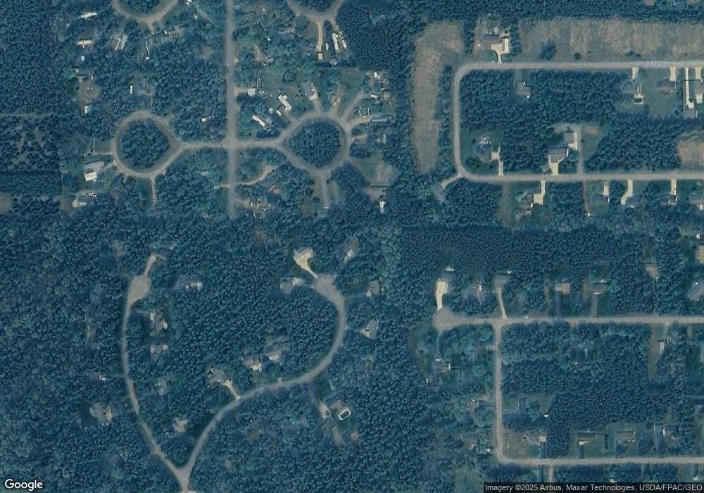
Map
Nearby Homes
- 5741 Siesta Cir
- 6111 Magnolia Dr
- 5930 Wazeecha Ave
- 4910 Pine Needle Way
- 5640 Helke Rd
- 7320 Deer Rd
- 3610 43rd St S
- Parcel #0703692 Dewberry Ln
- 6410 Lenox Ave
- 6711 Kellner Rd
- 3820 36th St S
- 4411 Kellner Rd
- 1911 45th St S
- 8041 White Pine Dr
- 1510 52nd St S
- 1930 42nd St S
- 8210 Grove Ave
- 8540 Lake Rd
- 000 64th St S Unit 11840 64th Street So
- 2920 27th St S
- 4521 Breckenridge Ct
- 5841 Ponderosa Cir
- 5851 Ponderosa Cir
- 4510 Breckenridge Ct
- 5831 Ponderosa Cir
- 5861 Ponderosa Cir
- 4531 Breckenridge Ct
- 4520 Breckenridge Ct
- 6021 Arbutus Dr
- 6010 Pointe Place
- 4331 58th St S
- 5871 Ponderosa Cir
- 4311 58th St S
- 6031 Arbutus Dr
- 5911 Ponderosa Cir
- 4620 Breckenridge Ct
- 4611 Breckenridge Ct
- 6020 Arbutus Dr
- 6111 Arbutus Dr
- 4510 61st St S