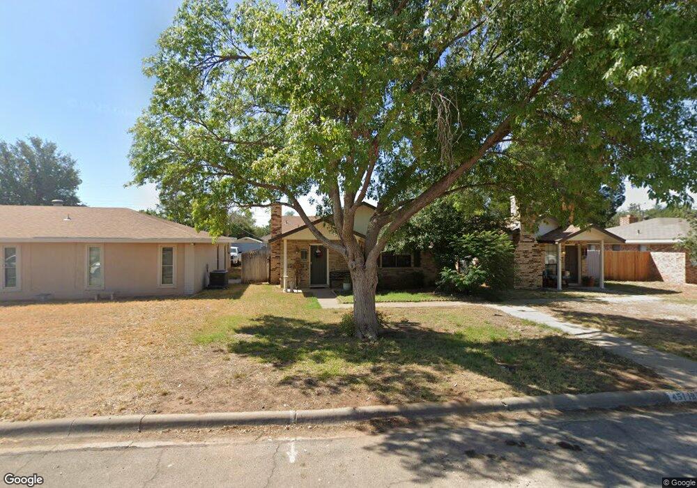
4511 La Salle Cir Unit A Midland, TX 79707
Scotsdale NeighborhoodEstimated Value: $217,063 - $254,000
--
Bed
--
Bath
1,261
Sq Ft
$189/Sq Ft
Est. Value
About This Home
This home is located at 4511 La Salle Cir Unit A, Midland, TX 79707 and is currently estimated at $238,016, approximately $188 per square foot. 4511 La Salle Cir Unit A is a home located in Midland County with nearby schools including Bush Elementary School, Abell Junior High School, and Legacy Senior High School.
Ownership History
Date
Name
Owned For
Owner Type
Purchase Details
Closed on
Dec 15, 2022
Sold by
Renick Lynda
Bought by
Oviedo Jaime and Oviedo Martha
Current Estimated Value
Purchase Details
Closed on
Aug 10, 2007
Sold by
Bosecker Ramah and Bosecker Chris
Bought by
Renick Lynda
Home Financials for this Owner
Home Financials are based on the most recent Mortgage that was taken out on this home.
Original Mortgage
$64,500
Interest Rate
6.69%
Mortgage Type
Purchase Money Mortgage
Purchase Details
Closed on
Apr 14, 1997
Sold by
Satterfield Dona
Bought by
Renick Lynda
Purchase Details
Closed on
Feb 1, 1997
Bought by
Renick Lynda
Purchase Details
Closed on
Apr 14, 1994
Bought by
Renick Lynda
Purchase Details
Closed on
Sep 23, 1982
Bought by
Renick Lynda
Create a Home Valuation Report for This Property
The Home Valuation Report is an in-depth analysis detailing your home's value as well as a comparison with similar homes in the area
Home Values in the Area
Average Home Value in this Area
Purchase History
| Date | Buyer | Sale Price | Title Company |
|---|---|---|---|
| Oviedo Jaime | -- | None Listed On Document | |
| Renick Lynda | -- | Lone Star Abstract & Title | |
| Renick Lynda | -- | -- | |
| Renick Lynda | -- | -- | |
| Renick Lynda | -- | -- | |
| Renick Lynda | -- | -- |
Source: Public Records
Mortgage History
| Date | Status | Borrower | Loan Amount |
|---|---|---|---|
| Previous Owner | Renick Lynda | $64,500 |
Source: Public Records
Tax History Compared to Growth
Tax History
| Year | Tax Paid | Tax Assessment Tax Assessment Total Assessment is a certain percentage of the fair market value that is determined by local assessors to be the total taxable value of land and additions on the property. | Land | Improvement |
|---|---|---|---|---|
| 2024 | $2,865 | $188,700 | $8,330 | $180,370 |
| 2023 | $2,885 | $192,490 | $8,330 | $184,160 |
| 2022 | $2,591 | $165,830 | $8,330 | $157,500 |
| 2021 | $2,799 | $160,670 | $8,330 | $152,340 |
| 2020 | $2,613 | $150,760 | $8,330 | $142,430 |
| 2019 | $2,854 | $150,760 | $8,330 | $142,430 |
| 2018 | $2,691 | $138,420 | $8,330 | $130,090 |
| 2017 | $2,453 | $126,170 | $8,330 | $123,280 |
| 2016 | $2,078 | $114,700 | $8,330 | $122,140 |
| 2015 | -- | $104,270 | $8,330 | $112,650 |
| 2014 | -- | $94,790 | $0 | $0 |
Source: Public Records
Map
Nearby Homes
- 3210 Preston Dr
- 3218 Preston Dr
- 4342 W Dengar Ave
- 3220 Preston Dr
- 3222 Preston Dr
- 4319 Greenbriar Dr
- 4310 Nelson Rd
- 3205 Dentcrest Dr Unit A
- 3205 Dentcrest Dr Unit B
- 4305 Ferncliff Ave
- 4313 W Dengar Ave
- 2306 Abbey Place
- 2906 Aurora Ln
- 3802 Suncrest Ave
- 2703 Dora Place
- 3002 Whittle Way
- 2006 Northern Ln
- 3802 Stanolind Ave
- 3407 Dentcrest Dr
- 3502 Canemont Dr
- 4511 La Salle Cir Unit B
- 4511 La Salle Cir
- 4511 La Salle Cir
- 4513 La Salle Cir
- 4509 La Salle Cir
- 4515 La Salle Cir Unit A
- 4515 La Salle Cir Unit B
- 4504 W Dengar Ave
- 3000 Mark Ln
- 4506 W Dengar Ave
- 4507 La Salle Cir
- 4502 W Dengar Ave
- 4508 W Dengar Ave
- 3002 Mark Ln
- 4503 La Salle Cir
- 4517 La Salle Cir
- 4505 La Salle Cir
- 4500 W Dengar Ave
- 3004 Mark Ln
- 4510 W Dengar Ave