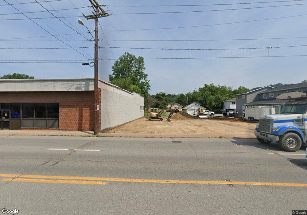
4512 MacCorkle Ave SW Charleston, WV 25309
Estimated Value: $276,000 - $280,067
3
Beds
2
Baths
1,039
Sq Ft
$268/Sq Ft
Est. Value
About This Home
This home is located at 4512 MacCorkle Ave SW, Charleston, WV 25309 and is currently estimated at $278,034, approximately $267 per square foot. 4512 MacCorkle Ave SW is a home located in Kanawha County with nearby schools including Bridgeview Elementary School, Dunbar Middle School, and South Charleston High School.
Ownership History
Date
Name
Owned For
Owner Type
Purchase Details
Closed on
Sep 23, 2020
Sold by
Spartan Properties Llc
Bought by
Auto Real Estate Holdings Llc
Current Estimated Value
Home Financials for this Owner
Home Financials are based on the most recent Mortgage that was taken out on this home.
Original Mortgage
$161,500
Outstanding Balance
$142,995
Interest Rate
2.9%
Mortgage Type
Commercial
Estimated Equity
$135,039
Create a Home Valuation Report for This Property
The Home Valuation Report is an in-depth analysis detailing your home's value as well as a comparison with similar homes in the area
Home Values in the Area
Average Home Value in this Area
Purchase History
| Date | Buyer | Sale Price | Title Company |
|---|---|---|---|
| Auto Real Estate Holdings Llc | $190,000 | None Available |
Source: Public Records
Mortgage History
| Date | Status | Borrower | Loan Amount |
|---|---|---|---|
| Open | Auto Real Estate Holdings Llc | $161,500 |
Source: Public Records
Tax History Compared to Growth
Tax History
| Year | Tax Paid | Tax Assessment Tax Assessment Total Assessment is a certain percentage of the fair market value that is determined by local assessors to be the total taxable value of land and additions on the property. | Land | Improvement |
|---|---|---|---|---|
| 2025 | $630 | $19,260 | $19,260 | $0 |
| 2024 | $630 | $19,260 | $19,260 | $0 |
| 2023 | $243 | $7,440 | $7,440 | $0 |
| 2022 | $243 | $7,440 | $7,440 | $0 |
| 2021 | $402 | $12,300 | $7,440 | $4,860 |
| 2020 | $402 | $12,300 | $7,440 | $4,860 |
| 2019 | $402 | $12,300 | $7,440 | $4,860 |
| 2018 | $367 | $12,300 | $7,440 | $4,860 |
| 2017 | $368 | $12,300 | $7,440 | $4,860 |
| 2016 | $369 | $12,300 | $7,440 | $4,860 |
| 2015 | $368 | $12,300 | $7,440 | $4,860 |
| 2014 | $360 | $12,180 | $7,440 | $4,740 |
Source: Public Records
Map
Nearby Homes
- 301 McDonald Ave
- 435 Park Ave
- 4208 River Ave
- 557 Greenway Ave
- 559 Greenway Ave
- 4428 Pennsylvania Ave SW
- 406 Ford St
- 86 Kenna Dr
- 4833 MacCorkle Ave SW
- 302 Kenna Dr
- 4860 MacCorkle Ave SW
- 103 Dunbar Ave
- 4829 Kanawha Turnpike
- 709 Dunbar Ave
- 1832 Roxalana Rd
- 914 Park Dr
- 60 Dunbar Ave
- 1204 Chestnut St
- 919 Blue Sky Dr
- 4808 Spring Hill Ave
- 4510 MacCorkle Ave SW
- 4518 MacCorkle Ave SW
- 4507 River Ave
- 4507 River Ave
- 4502 MacCorkle Ave SW
- 309 McDonald Ave
- 4505 River Ave
- 307 McDonald Ave
- 4524 MacCorkle Ave SW
- 4521 Kanawha Ave SW
- 303 McDonald Ave
- 4509 River Ave
- 4523 Kanawha Ave SW
- 4501 MacCorkle Ave SW
- 4501 MacCorkle Ave SW
- 4501 MacCorkle Ave SW
- 4418 MacCorkle Ave SW
- 4520 Kanawha Ave SW
- 4525 Kanawha Ave SW
- 407 McDonald Ave