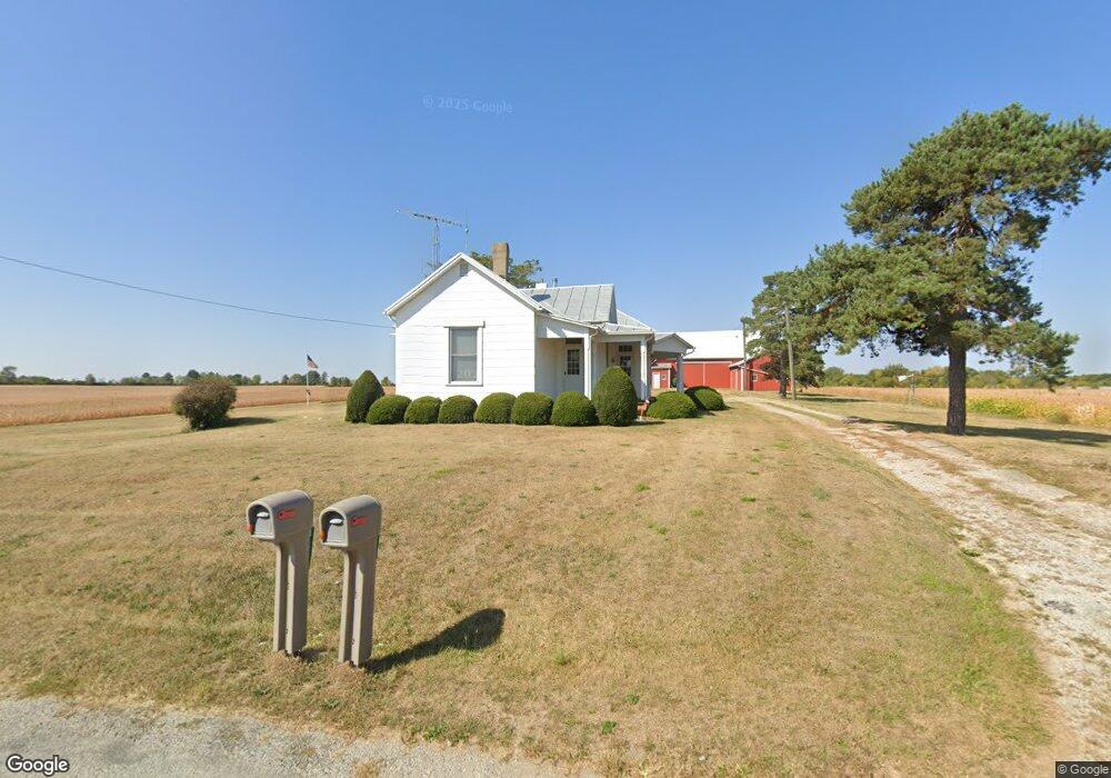
4512 N 800 E Union City, IN 47390
Estimated Value: $167,486 - $223,000
2
Beds
1
Bath
1,552
Sq Ft
$126/Sq Ft
Est. Value
About This Home
This home is located at 4512 N 800 E, Union City, IN 47390 and is currently estimated at $195,372, approximately $125 per square foot. 4512 N 800 E is a home located in Randolph County with nearby schools including North Side Elementary School and Union City Community Jr/Sr High School.
Ownership History
Date
Name
Owned For
Owner Type
Purchase Details
Closed on
Dec 21, 2005
Sold by
Mangas Larry A
Bought by
Mangas Larry A and Mangas Carol Lee
Current Estimated Value
Create a Home Valuation Report for This Property
The Home Valuation Report is an in-depth analysis detailing your home's value as well as a comparison with similar homes in the area
Home Values in the Area
Average Home Value in this Area
Purchase History
| Date | Buyer | Sale Price | Title Company |
|---|---|---|---|
| Mangas Larry A | -- | None Available |
Source: Public Records
Tax History Compared to Growth
Tax History
| Year | Tax Paid | Tax Assessment Tax Assessment Total Assessment is a certain percentage of the fair market value that is determined by local assessors to be the total taxable value of land and additions on the property. | Land | Improvement |
|---|---|---|---|---|
| 2024 | $546 | $148,400 | $17,000 | $131,400 |
| 2023 | $667 | $151,400 | $17,000 | $134,400 |
| 2022 | $780 | $154,200 | $17,000 | $137,200 |
| 2021 | $683 | $141,400 | $13,500 | $127,900 |
| 2020 | $636 | $129,600 | $13,500 | $116,100 |
| 2019 | $639 | $128,000 | $13,500 | $114,500 |
| 2018 | $840 | $128,000 | $13,500 | $114,500 |
| 2017 | $771 | $121,400 | $13,500 | $107,900 |
| 2016 | $941 | $121,400 | $13,500 | $107,900 |
| 2014 | $715 | $105,500 | $12,900 | $92,600 |
| 2013 | $715 | $102,300 | $12,900 | $89,400 |
Source: Public Records
Map
Nearby Homes
- 0 County Road 400 N
- 1200 N Jackson Pike
- 509 Indiana 28
- 0 W Deerfield Rd Unit 23016117
- 0 W Deerfield Rd Unit 837795
- 0 W Deerfield Rd
- 504 Leahey St
- LOT 25 Governor Isaac P Gray Add
- LOT 9 Governor P Isaac Add
- LOT 18 Governor Isaac P Gray Add
- LOT 19 & 20 Governor Isaac P Gray Add
- 1013 Caroline Ave
- 811 N Columbia St
- 811 N Columbia St
- 612 N Howard St
- 722 N Union St
- 543 N Walnut St
- 507 N Howard St
- 508 N High St
- 402 Charles St
- 4627 N 800 E
- 4393 N 800 E
- 4819 N 800 E
- 4716 N 800 E
- 4183 N 800 E
- 4104 N 800 E
- 4067 N 800 E
- 8066 E 500 N
- 1302 N Jackson Pike
- 5112 N 800 E
- 8280 E 500 N Unit E
- 1252 N Jackson Pike
- 8429 E 500 N
- 7996 E 550 N
- 1225 N Jackson Pike
- 7395 E 500 N
- 1157 N Jackson Pike
- 8622 E 400 N
- 8646 E 400 N
- 1572 W State Road 28