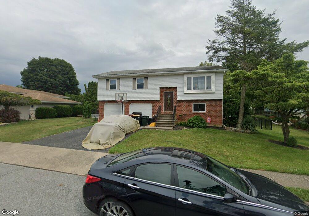
4512 Nile Dr Whitehall, PA 18052
Egypt NeighborhoodEstimated Value: $345,123 - $387,000
4
Beds
2
Baths
1,648
Sq Ft
$222/Sq Ft
Est. Value
About This Home
This home is located at 4512 Nile Dr, Whitehall, PA 18052 and is currently estimated at $366,281, approximately $222 per square foot. 4512 Nile Dr is a home located in Lehigh County with nearby schools including George D Steckel Elementary School, Clarence M Gockley Elementary School, and Zephyr Elementary School.
Ownership History
Date
Name
Owned For
Owner Type
Purchase Details
Closed on
May 10, 2004
Sold by
Micio David M and Micio Kathleen M
Bought by
Hess Richard and Knutsen Hess Wendy
Current Estimated Value
Home Financials for this Owner
Home Financials are based on the most recent Mortgage that was taken out on this home.
Original Mortgage
$135,200
Outstanding Balance
$60,569
Interest Rate
4.87%
Mortgage Type
Purchase Money Mortgage
Estimated Equity
$305,712
Purchase Details
Closed on
Apr 24, 1980
Bought by
Micio David M and Micio Kathleen M
Create a Home Valuation Report for This Property
The Home Valuation Report is an in-depth analysis detailing your home's value as well as a comparison with similar homes in the area
Home Values in the Area
Average Home Value in this Area
Purchase History
| Date | Buyer | Sale Price | Title Company |
|---|---|---|---|
| Hess Richard | $169,000 | First American Title Ins Co | |
| Micio David M | -- | -- |
Source: Public Records
Mortgage History
| Date | Status | Borrower | Loan Amount |
|---|---|---|---|
| Open | Hess Richard | $135,200 |
Source: Public Records
Tax History Compared to Growth
Tax History
| Year | Tax Paid | Tax Assessment Tax Assessment Total Assessment is a certain percentage of the fair market value that is determined by local assessors to be the total taxable value of land and additions on the property. | Land | Improvement |
|---|---|---|---|---|
| 2025 | $5,028 | $171,500 | $35,300 | $136,200 |
| 2024 | $4,860 | $171,500 | $35,300 | $136,200 |
| 2023 | $4,759 | $171,500 | $35,300 | $136,200 |
| 2022 | $4,651 | $171,500 | $136,200 | $35,300 |
| 2021 | $4,574 | $171,500 | $35,300 | $136,200 |
| 2020 | $4,399 | $171,500 | $35,300 | $136,200 |
| 2019 | $4,056 | $171,500 | $35,300 | $136,200 |
| 2018 | $3,950 | $171,500 | $35,300 | $136,200 |
| 2017 | $3,878 | $171,500 | $35,300 | $136,200 |
| 2016 | -- | $171,500 | $35,300 | $136,200 |
| 2015 | -- | $171,500 | $35,300 | $136,200 |
| 2014 | -- | $171,500 | $35,300 | $136,200 |
Source: Public Records
Map
Nearby Homes
- 4539 Main St
- 4740 Hillcrest Ln
- 4212 Belmont Cir
- 4131 Harrison St
- 2270 Quarry St
- 2352 Creekside Dr
- 5168 Grant Ave
- 5160 Grant Ave
- 2507 Levans Rd
- 2357 Spring St
- 4760 Mulberry St
- 2552 Spring St
- 5111 Willow St
- 5043 Foxdale Dr
- 5050 Foxdale Dr
- 2846 Vista Dr
- 1214 Clearview Rd
- 142 Jeffrey Ln
- 4561 Homestead Dr
- 158 Jeffrey Ln