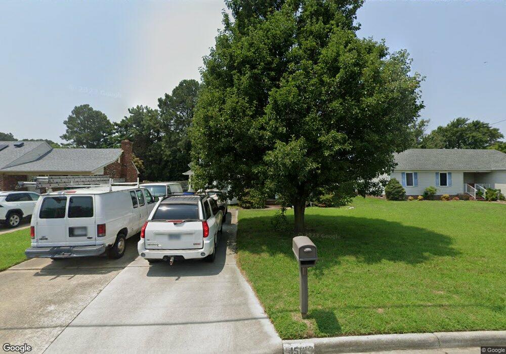
4512 River Shore Rd Portsmouth, VA 23703
Churchland NeighborhoodEstimated Value: $337,704 - $381,000
--
Bed
3
Baths
1,941
Sq Ft
$186/Sq Ft
Est. Value
About This Home
This home is located at 4512 River Shore Rd, Portsmouth, VA 23703 and is currently estimated at $361,176, approximately $186 per square foot. 4512 River Shore Rd is a home located in Portsmouth City with nearby schools including Churchland Primary/Intermediate School, Churchland Middle School, and Churchland High School.
Ownership History
Date
Name
Owned For
Owner Type
Purchase Details
Closed on
Dec 6, 2000
Sold by
Yurick Peter J
Bought by
Upchurch Eddie H
Current Estimated Value
Home Financials for this Owner
Home Financials are based on the most recent Mortgage that was taken out on this home.
Original Mortgage
$103,847
Outstanding Balance
$38,269
Interest Rate
7.7%
Estimated Equity
$322,907
Create a Home Valuation Report for This Property
The Home Valuation Report is an in-depth analysis detailing your home's value as well as a comparison with similar homes in the area
Home Values in the Area
Average Home Value in this Area
Purchase History
| Date | Buyer | Sale Price | Title Company |
|---|---|---|---|
| Upchurch Eddie H | $104,000 | -- |
Source: Public Records
Mortgage History
| Date | Status | Borrower | Loan Amount |
|---|---|---|---|
| Open | Upchurch Eddie H | $103,847 |
Source: Public Records
Tax History Compared to Growth
Tax History
| Year | Tax Paid | Tax Assessment Tax Assessment Total Assessment is a certain percentage of the fair market value that is determined by local assessors to be the total taxable value of land and additions on the property. | Land | Improvement |
|---|---|---|---|---|
| 2025 | $4,095 | $324,280 | $90,000 | $234,280 |
| 2024 | $4,095 | $319,030 | $90,000 | $229,030 |
| 2023 | $3,660 | $292,810 | $90,000 | $202,810 |
| 2022 | $3,362 | $258,580 | $75,000 | $183,580 |
| 2021 | $3,041 | $233,890 | $50,310 | $183,580 |
| 2020 | $3,010 | $231,500 | $47,920 | $183,580 |
| 2019 | $2,896 | $222,760 | $47,920 | $174,840 |
| 2018 | $2,896 | $222,760 | $47,920 | $174,840 |
| 2017 | $2,896 | $222,760 | $47,920 | $174,840 |
| 2016 | $2,896 | $222,760 | $47,920 | $174,840 |
| 2015 | $2,782 | $214,010 | $47,920 | $166,090 |
| 2014 | $2,718 | $214,010 | $47,920 | $166,090 |
Source: Public Records
Map
Nearby Homes
- 4444 Southampton Arch
- 4619 River Shore Rd
- 5728 Hawthorne Ln
- 21 Windy Pines Crescent
- 5833 Hawthorne Ln
- 5693 Rivermill Cir
- 5606 Gregory Ct
- 4232 Summerset Dr
- 4726 River Shore Rd
- 4224 Burnham Dr
- 4200 Quince Rd
- 4028 Swannanoa Dr
- 8 Compass Ct
- 4100 Mayfair Way
- 17 Shoal Ct
- 4071 Long Point Blvd
- 6750 Burbage Landing Cir
- 5807 Dunkin St
- 6602 James Point Ct
- 5028 Bay Cir
- 4514 River Shore Rd
- 4510 River Shore Rd
- 4516 River Shore Rd
- 4507 Southampton Arch
- 4509 Southampton Arch
- 4508 River Shore Rd
- 5600 Parish Ln
- 4518 River Shore Rd
- 5601 Parish Ln
- 4505 Southampton Arch
- 4511 Southampton Arch
- 5602 Parish Ln
- 4504 River Shore Rd
- 4520 River Shore Rd
- 5603 Parish Ln
- 4511 River Shore Rd
- 4503 Southampton Arch
- 5604 Parish Ln
- 4513 River Shore Rd
- 4513 River Shore Rd Unit 1