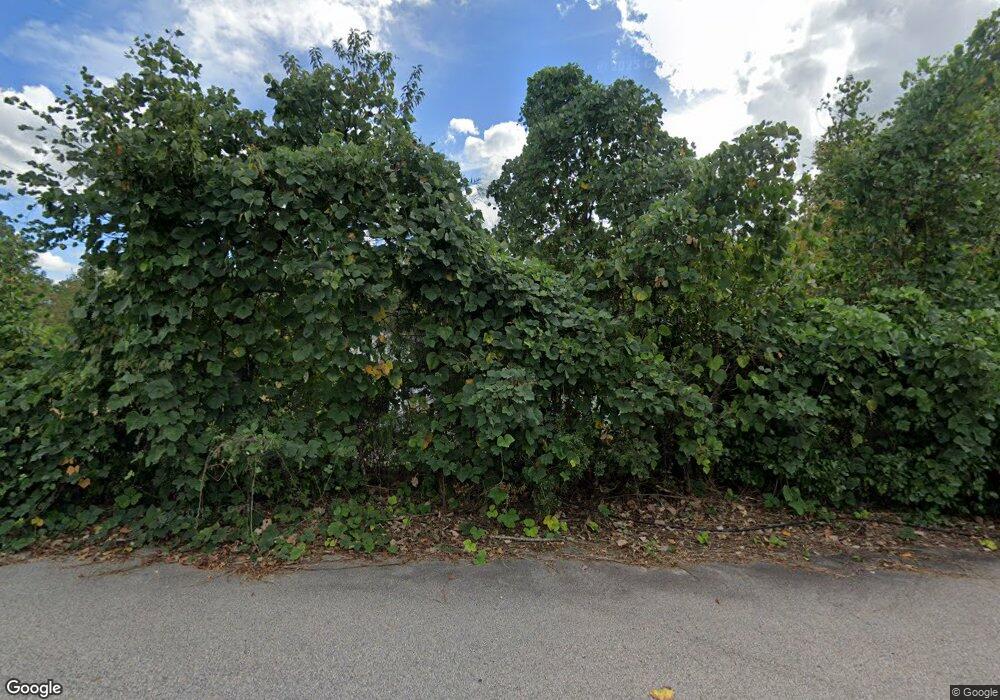
4512 Winslet Dr Wake Forest, NC 27587
Estimated Value: $502,000 - $665,000
--
Bed
2
Baths
2,175
Sq Ft
$261/Sq Ft
Est. Value
About This Home
This home is located at 4512 Winslet Dr, Wake Forest, NC 27587 and is currently estimated at $567,450, approximately $260 per square foot. 4512 Winslet Dr is a home located in Wake County with nearby schools including Sanford Creek Elementary School, Rolesville Middle School, and Rolesville High School.
Ownership History
Date
Name
Owned For
Owner Type
Purchase Details
Closed on
Mar 3, 2016
Sold by
Massenburg Ruth Elaine and Massenburg Haywood
Bought by
Lambie George W and Lambie Amy B
Current Estimated Value
Purchase Details
Closed on
Sep 15, 2015
Sold by
Massenburg Ruth Elaine and Massenburg Haywood
Bought by
Bonis Amy and Lambie George
Purchase Details
Closed on
Oct 21, 2014
Sold by
Massenburg Haywood and Massenburg Ruth Elaine
Bought by
Lambie George W and Lambie Amy B
Purchase Details
Closed on
Oct 1, 2009
Sold by
Massenburg Ruth Elaine and Massenburg Haywood
Bought by
Bonis Amy O
Create a Home Valuation Report for This Property
The Home Valuation Report is an in-depth analysis detailing your home's value as well as a comparison with similar homes in the area
Home Values in the Area
Average Home Value in this Area
Purchase History
| Date | Buyer | Sale Price | Title Company |
|---|---|---|---|
| Lambie George W | $45,000 | None Available | |
| Bonis Amy | $39,000 | Attorney | |
| Lambie George W | $42,500 | None Available | |
| Bonis Amy O | $30,000 | None Available |
Source: Public Records
Tax History Compared to Growth
Tax History
| Year | Tax Paid | Tax Assessment Tax Assessment Total Assessment is a certain percentage of the fair market value that is determined by local assessors to be the total taxable value of land and additions on the property. | Land | Improvement |
|---|---|---|---|---|
| 2025 | $3,338 | $518,789 | $204,410 | $314,379 |
| 2024 | $3,242 | $518,789 | $204,410 | $314,379 |
| 2023 | $3,123 | $397,952 | $174,410 | $223,542 |
| 2022 | $2,894 | $397,952 | $174,410 | $223,542 |
| 2021 | $2,816 | $397,952 | $174,410 | $223,542 |
| 2020 | $2,770 | $397,952 | $174,410 | $223,542 |
| 2019 | $2,724 | $331,043 | $164,410 | $166,633 |
| 2018 | $2,504 | $331,043 | $164,410 | $166,633 |
| 2017 | $2,374 | $331,043 | $164,410 | $166,633 |
Source: Public Records
Map
Nearby Homes
- 11249 Jeffreys Ln
- 4628 Rogers Rd
- 1123 Ambrose Dr
- 917 Evening Snow St
- 6205 Roles Saddle Dr
- 5138 Corner Rock Dr
- 1001 Kennison Ct
- 3037 Freeman Farm Way
- 4225 Cats Paw Ct
- 536 Adkins Ridge Rd
- 5508 Massey Branch Dr
- 1228 Stonemill Falls Dr
- 4204 Freeman House Ln
- 3004 Freeman Farm Way
- 5800 Clearsprings Dr
- 1453 Stonemill Falls Dr
- 1405 Freeman Falls Ct
- 1021 Smoke Willow Way Unit 130
- 5904 Clearsprings Dr
- 713 Brownwich St
- 4700 Winslet Dr
- 4516 Winslet Dr
- 0 Winslet Dr
- 11232 Jeffreys Ln
- 0 Jeffreys Ln Unit 1775608
- 0 Jeffreys Ln Unit 801644
- 0 Jeffreys Ln Unit TR4 TR1775608
- 0 Jeffreys Ln Unit TR1979901
- 0 Jeffreys Ln Unit TR2154955
- 0 Jeffreys Ln Unit TR2154958
- 0 Jeffreys Ln Unit TR2154953
- 0 Jeffreys Ln Unit TR2247041
- 11238 Jeffreys Ln
- 0 Jeffreys Ln
- 4517 Winslet Dr
- 11236 Jeffreys Ln
- 00 Jeffreys Ln
- 11208 Jeffreys Ln
- 11213 Jeffreys Ln
- 11213 Jeffreys Ln
