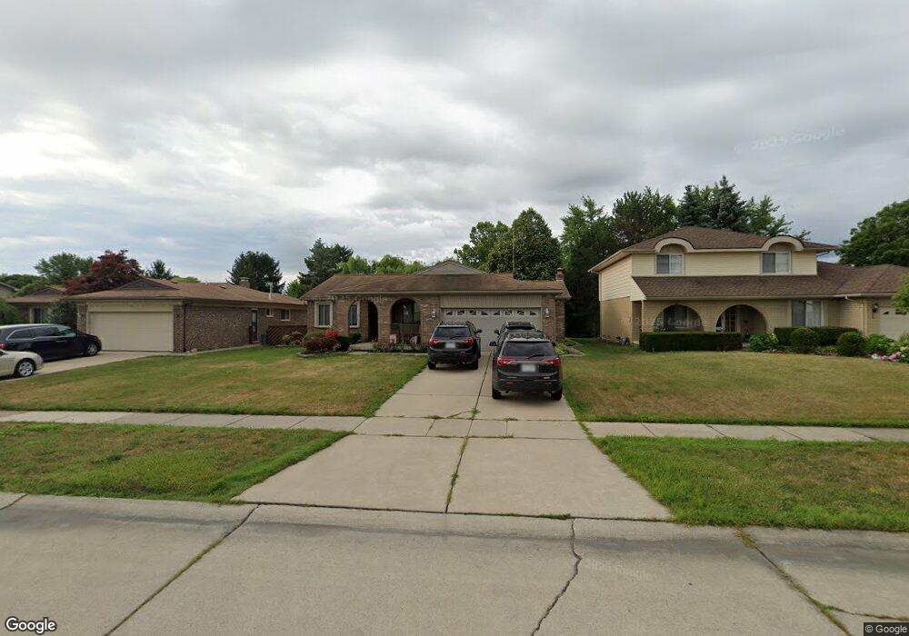
45121 Patrick Dr Canton, MI 48187
Estimated Value: $346,204 - $432,000
Studio
3
Baths
1,726
Sq Ft
$227/Sq Ft
Est. Value
About This Home
This home is located at 45121 Patrick Dr, Canton, MI 48187 and is currently estimated at $392,301, approximately $227 per square foot. 45121 Patrick Dr is a home located in Wayne County with nearby schools including Canton High School, Discovery Middle School, and Salem High School.
Ownership History
Date
Name
Owned For
Owner Type
Purchase Details
Closed on
Oct 31, 1995
Sold by
Petov Primo M and Petov Sheryl
Bought by
Petovello Primo M and Petovello Sheryl
Current Estimated Value
Purchase Details
Closed on
May 26, 1995
Sold by
Associates Lending Divis
Bought by
Barszcz Jeffery and Barszcz Patricia
Purchase Details
Closed on
Aug 24, 1994
Sold by
Shrf James Linderman Pr
Bought by
Associates Lending Division
Create a Home Valuation Report for This Property
The Home Valuation Report is an in-depth analysis detailing your home's value as well as a comparison with similar homes in the area
Home Values in the Area
Average Home Value in this Area
Purchase History
| Date | Buyer | Sale Price | Title Company |
|---|---|---|---|
| Petovello Primo M | $145,250 | -- | |
| Barszcz Jeffery | $143,900 | -- | |
| Associates Lending Division | $82,400 | -- |
Source: Public Records
Tax History
| Year | Tax Paid | Tax Assessment Tax Assessment Total Assessment is a certain percentage of the fair market value that is determined by local assessors to be the total taxable value of land and additions on the property. | Land | Improvement |
|---|---|---|---|---|
| 2025 | $1,955 | $182,100 | $0 | $0 |
| 2024 | $1,899 | $169,300 | $0 | $0 |
| 2023 | $1,811 | $156,200 | $0 | $0 |
| 2022 | $4,007 | $139,400 | $0 | $0 |
| 2021 | $3,886 | $132,600 | $0 | $0 |
| 2020 | $3,834 | $123,100 | $0 | $0 |
| 2019 | $3,767 | $116,030 | $0 | $0 |
| 2018 | $1,539 | $116,580 | $0 | $0 |
| 2017 | $3,882 | $113,600 | $0 | $0 |
| 2016 | $3,432 | $105,700 | $0 | $0 |
| 2015 | $8,456 | $92,410 | $0 | $0 |
| 2013 | $8,192 | $87,930 | $0 | $0 |
| 2010 | -- | $90,900 | $47,237 | $43,663 |
Source: Public Records
Map
Nearby Homes
- 45261 Patrick Dr
- 6857 Bridgemont Dr
- 6852 New Providence Way Unit 104
- 44432 Newburyport Dr
- 48590 Ford Rd
- 49772 Shoreline Dr
- 7459 Admiralty Dr
- 45900 Gainsborough Dr
- 835 Coldrose Way
- 7065 Epping Dr
- 45677 Radnor Rd
- 44570 Tillotson Dr
- 0000 Ford
- 1995 Peerce Ct Unit 2
- 43607 Ryegate St
- 44089 Candlewood Dr
- 6622 Carriage Hills Dr
- 00000 Maben Rd
- 44447 Savery Dr Unit 126
- 43086 Versailles Rd
- 45149 Patrick Dr
- 45093 Patrick Dr
- 45177 Patrick Dr
- 45065 Patrick Dr
- 45162 Indian Creek Dr
- 45140 Indian Creek Dr
- 45112 Patrick Dr
- 45140 Patrick Dr
- 45205 Patrick Dr
- 45110 Indian Creek Dr
- 45037 Patrick Dr
- 45084 Patrick Dr
- 45040 Indian Creek Dr
- 45168 Patrick Dr
- 45206 Indian Creek Dr
- 45056 Patrick Dr
- 45196 Patrick Dr
- 45233 Patrick Dr
- 45009 Patrick Dr
- 45234 Indian Creek Dr
Your Personal Tour Guide
Ask me questions while you tour the home.