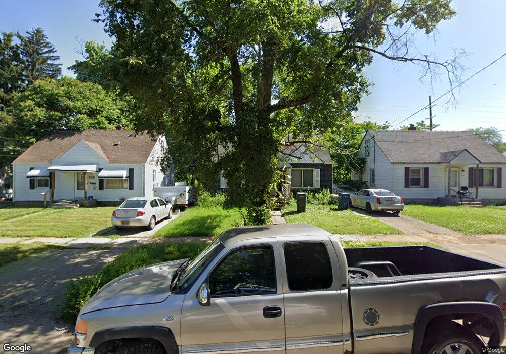
4513 Pengelly Rd Flint, MI 48507
Circle Drive NeighborhoodEstimated Value: $50,187 - $84,000
3
Beds
1
Bath
1,045
Sq Ft
$67/Sq Ft
Est. Value
About This Home
This home is located at 4513 Pengelly Rd, Flint, MI 48507 and is currently estimated at $70,047, approximately $67 per square foot. 4513 Pengelly Rd is a home located in Genesee County with nearby schools including Freeman Elementary School, Flint Southwestern Classical Academy, and International Academy of Flint (K-12).
Ownership History
Date
Name
Owned For
Owner Type
Purchase Details
Closed on
Oct 15, 2008
Sold by
Preston Steven C and Secretary Of Housing & Urban D
Bought by
Olson Douglas and Olson Cynthia
Current Estimated Value
Purchase Details
Closed on
Nov 5, 2007
Sold by
Citimortgage Inc
Bought by
Hud
Purchase Details
Closed on
Apr 27, 2007
Sold by
Moore Danny
Bought by
Abn Amro Mortgage Group Inc
Purchase Details
Closed on
Jun 12, 2001
Sold by
Estate Of Hertha G Miller
Bought by
Moore Danny
Create a Home Valuation Report for This Property
The Home Valuation Report is an in-depth analysis detailing your home's value as well as a comparison with similar homes in the area
Home Values in the Area
Average Home Value in this Area
Purchase History
| Date | Buyer | Sale Price | Title Company |
|---|---|---|---|
| Olson Douglas | $8,400 | None Available | |
| Hud | -- | None Available | |
| Abn Amro Mortgage Group Inc | $59,967 | None Available | |
| Moore Danny | $56,900 | Cislo Title Company |
Source: Public Records
Tax History
| Year | Tax Paid | Tax Assessment Tax Assessment Total Assessment is a certain percentage of the fair market value that is determined by local assessors to be the total taxable value of land and additions on the property. | Land | Improvement |
|---|---|---|---|---|
| 2025 | $835 | $20,700 | $0 | $0 |
| 2024 | $762 | $20,400 | $0 | $0 |
| 2023 | $752 | $15,400 | $0 | $0 |
| 2022 | $0 | $12,400 | $0 | $0 |
| 2021 | $777 | $13,200 | $0 | $0 |
| 2020 | $644 | $7,954 | $0 | $0 |
| 2019 | $1,268 | $9,100 | $0 | $0 |
| 2018 | $686 | $9,000 | $0 | $0 |
| 2017 | $946 | $0 | $0 | $0 |
| 2016 | $939 | $0 | $0 | $0 |
| 2015 | -- | $0 | $0 | $0 |
| 2014 | -- | $0 | $0 | $0 |
| 2012 | -- | $13,900 | $0 | $0 |
Source: Public Records
Map
Nearby Homes
- 338 Browning Ave
- 530 McKeighan Ave
- 4205 Red Arrow Rd
- 4127 Custer Ave
- 4526 Milton Dr
- 617 McKeighan Ave
- 416 Burroughs Ave
- 326 Burroughs Ave
- 621 Lochhead Ave
- 352 Buckingham Ave
- 3442 Griffith Ct
- 361 Buckingham Ave
- 802 McKeighan Ave
- 621 Burroughs Ave
- 818 Dell Ave
- 630 Buckingham Ave
- 1483 Carman St
- 3512 Barcey Ct
- 1453 Carman St
- 1450 Carman St
- 4509 Pengelly Rd
- 4517 Pengelly Rd
- 4505 Pengelly Rd
- 4521 Pengelly Rd
- 4501 Pengelly Rd
- 4520 Pengelly Rd
- 4518 Pengelly Rd
- 4514 Pengelly Rd
- 4510 Pengelly Rd
- 4429 Pengelly Rd
- 4506 Pengelly Rd
- 419 Tennyson Ave
- 4533 Pengelly Rd
- 415 Tennyson Ave
- 4529 Pengelly Rd
- 4502 Pengelly Rd
- 413 Tennyson Ave
- 4414 Red Arrow Rd
- 4418 Red Arrow Rd
- 4423 Pengelly Rd
Your Personal Tour Guide
Ask me questions while you tour the home.