4513 Rainbow Dr Kannapolis, NC 28081
Estimated Value: $384,000 - $771,226
3
Beds
3
Baths
2,256
Sq Ft
$256/Sq Ft
Est. Value
About This Home
This home is located at 4513 Rainbow Dr, Kannapolis, NC 28081 and is currently estimated at $577,613, approximately $256 per square foot. 4513 Rainbow Dr is a home located in Cabarrus County with nearby schools including Fred L. Wilson Elementary School, Kannapolis Middle, and A.L. Brown High School.
Ownership History
Date
Name
Owned For
Owner Type
Purchase Details
Closed on
Feb 28, 2013
Sold by
Royer John C and Royer Sara E
Bought by
Royer John C and The Royer Joint Family Trust
Current Estimated Value
Purchase Details
Closed on
May 6, 2008
Sold by
Latham Norman and Latham Michele
Bought by
Royer John C and Royer Sara E
Home Financials for this Owner
Home Financials are based on the most recent Mortgage that was taken out on this home.
Original Mortgage
$30,000
Interest Rate
5.82%
Mortgage Type
Purchase Money Mortgage
Purchase Details
Closed on
Oct 29, 2004
Sold by
Konyha Nancy M
Bought by
Latham Norman
Home Financials for this Owner
Home Financials are based on the most recent Mortgage that was taken out on this home.
Original Mortgage
$46,800
Interest Rate
5.64%
Mortgage Type
Purchase Money Mortgage
Purchase Details
Closed on
Aug 4, 2003
Sold by
Rankin Samuel M
Bought by
Konyha Nancy M
Create a Home Valuation Report for This Property
The Home Valuation Report is an in-depth analysis detailing your home's value as well as a comparison with similar homes in the area
Home Values in the Area
Average Home Value in this Area
Purchase History
| Date | Buyer | Sale Price | Title Company |
|---|---|---|---|
| Royer John C | -- | None Available | |
| Royer John C | $66,000 | None Available | |
| Latham Norman | $52,000 | Investors | |
| Konyha Nancy M | -- | -- |
Source: Public Records
Mortgage History
| Date | Status | Borrower | Loan Amount |
|---|---|---|---|
| Previous Owner | Royer John C | $30,000 | |
| Previous Owner | Latham Norman | $46,800 |
Source: Public Records
Tax History
| Year | Tax Paid | Tax Assessment Tax Assessment Total Assessment is a certain percentage of the fair market value that is determined by local assessors to be the total taxable value of land and additions on the property. | Land | Improvement |
|---|---|---|---|---|
| 2025 | $4,209 | $622,640 | $104,760 | $517,880 |
| 2024 | $4,209 | $622,640 | $104,760 | $517,880 |
| 2023 | $4,136 | $492,390 | $74,200 | $418,190 |
| 2022 | $4,136 | $492,390 | $74,200 | $418,190 |
| 2021 | $4,136 | $492,390 | $74,200 | $418,190 |
| 2020 | $4,136 | $492,390 | $74,200 | $418,190 |
| 2019 | $3,917 | $466,300 | $69,840 | $396,460 |
| 2018 | $3,824 | $466,300 | $69,840 | $396,460 |
| 2017 | $3,637 | $466,300 | $69,840 | $396,460 |
| 2016 | -- | $419,520 | $78,570 | $340,950 |
| 2015 | $3,083 | $419,520 | $78,570 | $340,950 |
| 2014 | $3,083 | $419,520 | $78,570 | $340,950 |
Source: Public Records
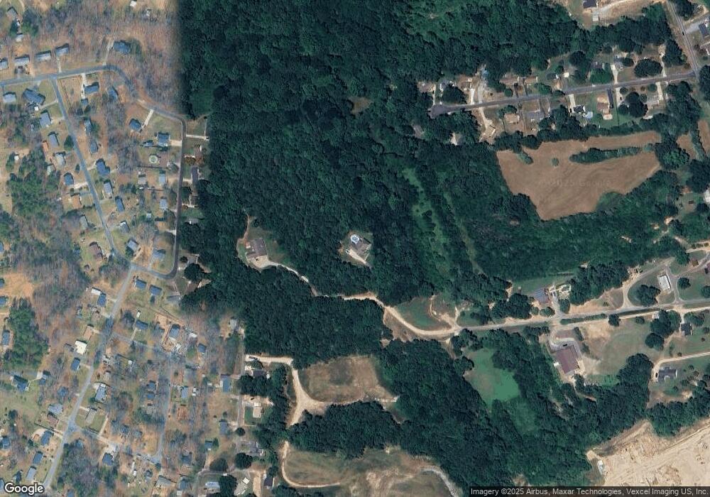
Map
Nearby Homes
- 6124 Avalon Dr
- 5010 Athens St
- TBD Dnu
- 1734 Shadowbrook Dr
- 5444 S Oakmont St Unit 7
- 0000 Buffalo St
- 4150 Shiner Ln
- 5875 Granbury Dr
- 4601 Mooresville Rd
- 1408 Westwinds Ct
- 1405 Birch St
- 1530 Buffalo St
- 1402 Birch St
- 1526 Buffalo St
- 6621 Charlie Walker Rd
- 6443 Roanoke Dr
- 1599 Bethpage Rd
- 1711 W C St
- 1809 W C St
- 5445 Mooresville Rd
- 4515 Rainbow Dr
- 4801 Fieldbrook Dr
- 4715 Fieldbrook Dr
- 5975 Charleston Ave
- 5024 Bahama Dr
- 5962 Charleston Ave
- 5971 Charleston Ave
- 5008 Bahama Dr
- 5032 Bahama Dr
- 5000 Bahama Dr
- 5040 Bahama Dr
- 4709 Fieldbrook Dr
- 4800 Fieldbrook Dr
- Lot 44 Bahama Dr Unit 44
- 5048 Bahama Dr
- 4716 Fieldbrook Dr
- 5066 Bahama Dr
- 5006 Harvard St
- 6043 Avalon Dr
- Lot 43 Bahama Dr Unit 43
Your Personal Tour Guide
Ask me questions while you tour the home.