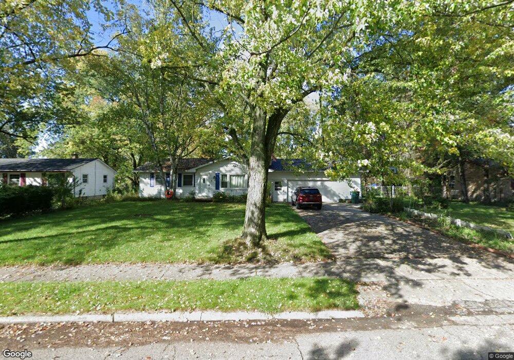
4514 Ballard Rd Lansing, MI 48911
Pleasant Grove NeighborhoodEstimated Value: $147,000 - $180,656
--
Bed
1
Bath
1,213
Sq Ft
$137/Sq Ft
Est. Value
About This Home
This home is located at 4514 Ballard Rd, Lansing, MI 48911 and is currently estimated at $165,914, approximately $136 per square foot. 4514 Ballard Rd is a home located in Ingham County with nearby schools including Reo Elementary School, Attwood School, and J.W. Sexton High School.
Ownership History
Date
Name
Owned For
Owner Type
Purchase Details
Closed on
Aug 11, 2000
Sold by
Norton Joseph W and Norton James
Bought by
Norton Joseph W
Current Estimated Value
Home Financials for this Owner
Home Financials are based on the most recent Mortgage that was taken out on this home.
Original Mortgage
$58,000
Interest Rate
8.12%
Mortgage Type
Purchase Money Mortgage
Create a Home Valuation Report for This Property
The Home Valuation Report is an in-depth analysis detailing your home's value as well as a comparison with similar homes in the area
Home Values in the Area
Average Home Value in this Area
Purchase History
| Date | Buyer | Sale Price | Title Company |
|---|---|---|---|
| Norton Joseph W | $55,000 | First American Title Ins Co |
Source: Public Records
Mortgage History
| Date | Status | Borrower | Loan Amount |
|---|---|---|---|
| Closed | Norton Joseph W | $58,000 |
Source: Public Records
Tax History Compared to Growth
Tax History
| Year | Tax Paid | Tax Assessment Tax Assessment Total Assessment is a certain percentage of the fair market value that is determined by local assessors to be the total taxable value of land and additions on the property. | Land | Improvement |
|---|---|---|---|---|
| 2025 | $3,297 | $95,500 | $24,200 | $71,300 |
| 2024 | $26 | $81,900 | $24,200 | $57,700 |
| 2023 | $3,091 | $70,800 | $24,200 | $46,600 |
| 2022 | $2,786 | $60,100 | $16,900 | $43,200 |
| 2021 | $2,728 | $52,800 | $12,500 | $40,300 |
| 2020 | $2,711 | $48,700 | $12,500 | $36,200 |
| 2019 | $2,600 | $47,200 | $12,500 | $34,700 |
| 2018 | $2,436 | $43,700 | $12,500 | $31,200 |
| 2017 | $2,332 | $43,700 | $12,500 | $31,200 |
| 2016 | $2,350 | $41,400 | $12,500 | $28,900 |
| 2015 | $2,350 | $40,300 | $24,995 | $15,305 |
| 2014 | $2,350 | $41,900 | $32,346 | $9,554 |
Source: Public Records
Map
Nearby Homes
- 3115 Risdale Ave
- 4809 Ballard Rd
- 4828 Ingham St
- 2816 Greenbelt Dr
- 3006 Hillcrest St
- 2311 Greenbelt Dr
- 4628 Pleasant Grove Rd
- 4110 Richmond St
- 4000 Churchill Ave
- 3600 Ronald St
- 4017 Richmond St
- 2416 Midwood St
- 5100 Wexford Rd
- 3100 Glenbrook Dr
- 3424 S Catherine St
- 2029 Hillcrest St
- 4620 Christiansen Rd
- 4018 Clayborn Rd
- 3334 Ingham St
- 3941 Glenburne Blvd
- 4528 Ballard Rd
- 4510 Ballard Rd
- 4600 Ballard Rd
- 4517 Ballard Rd
- 4519 Ballard Rd
- 4515 Ballard Rd
- 4500 Ballard Rd
- 4507 Ballard Rd
- 4601 Ballard Rd
- 4607 Ballard Rd
- 4501 Ballard Rd
- 4614 Ballard Rd
- 4521 Wainwright Ave
- 4517 Wainwright Ave
- 4527 Wainwright Ave
- 4422 Ballard Rd
- 4511 Wainwright Ave
- 4533 Wainwright Ave
- 4507 Wainwright Ave
- 4617 Ballard Rd