Estimated Value: $151,000 - $239,000
3
Beds
2
Baths
1,404
Sq Ft
$149/Sq Ft
Est. Value
About This Home
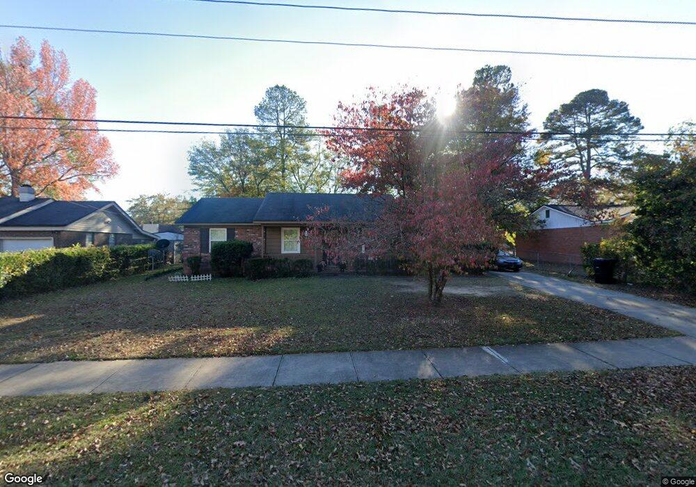
This home is located at 4514 Cox Rd, Evans, GA 30809 and is currently estimated at $209,715, approximately $149 per square foot. 4514 Cox Rd is a home located in Columbia County with nearby schools including Evans Elementary School, Evans Middle School, and Evans High School.
Ownership History
Date
Name
Owned For
Owner Type
Purchase Details
Closed on
Aug 1, 2018
Sold by
Howard Stephen R
Bought by
Shtw Llc
Current Estimated Value
Purchase Details
Closed on
Apr 11, 2017
Bought by
Howard Stephen R and Howard Barbara S
Purchase Details
Closed on
Mar 15, 2006
Sold by
Marcotte Peter
Bought by
Howard Stephen R
Home Financials for this Owner
Home Financials are based on the most recent Mortgage that was taken out on this home.
Original Mortgage
$62,648
Interest Rate
6.25%
Mortgage Type
New Conventional
Create a Home Valuation Report for This Property
The Home Valuation Report is an in-depth analysis detailing your home's value as well as a comparison with similar homes in the area
Home Values in the Area
Average Home Value in this Area
Purchase History
| Date | Buyer | Sale Price | Title Company |
|---|---|---|---|
| Shtw Llc | -- | -- | |
| Howard Stephen R | -- | -- | |
| Howard Stephen R | $75,000 | -- |
Source: Public Records
Mortgage History
| Date | Status | Borrower | Loan Amount |
|---|---|---|---|
| Previous Owner | Howard Stephen R | $62,648 |
Source: Public Records
Tax History
| Year | Tax Paid | Tax Assessment Tax Assessment Total Assessment is a certain percentage of the fair market value that is determined by local assessors to be the total taxable value of land and additions on the property. | Land | Improvement |
|---|---|---|---|---|
| 2025 | $1,911 | $77,670 | $16,644 | $61,026 |
| 2024 | $1,779 | $68,837 | $13,044 | $55,793 |
| 2023 | $1,779 | $72,000 | $13,044 | $58,956 |
| 2022 | $1,678 | $62,323 | $11,424 | $50,899 |
| 2021 | $1,591 | $56,362 | $10,704 | $45,658 |
| 2020 | $1,535 | $53,169 | $9,804 | $43,365 |
| 2019 | $1,481 | $51,213 | $9,534 | $41,679 |
| 2018 | $1,313 | $45,018 | $8,814 | $36,204 |
| 2017 | $1,204 | $40,933 | $8,454 | $32,479 |
| 2016 | $1,095 | $38,410 | $7,800 | $30,610 |
| 2015 | $1,083 | $37,918 | $7,170 | $30,748 |
| 2014 | $1,104 | $38,198 | $6,720 | $31,478 |
Source: Public Records
Map
Nearby Homes
- 4517 Glennwood Dr
- 245 Belair Rd N
- 4535 Glenda Ln
- 4558 Glenda Ln
- 213 N Belair Rd
- 4593 Gray Ln
- 4403 Owens Rd
- 4442 Roxbury Dr
- 625 Dunloe Cir
- 4441 Shadowmoor Dr
- 193 Creek View Cir
- 00 N Rd
- 4425 Branchwood Dr
- 268 Bohler Dr
- 4421 Hereford Farm Rd
- 5068 Hereford Farm Rd
- 108 Whetstone Ct
- 4469 Misty Cove Ct
- 2110 Oak Ridge Rd
- 525 Pheasant Run Dr
Your Personal Tour Guide
Ask me questions while you tour the home.