Estimated Value: $705,194 - $854,000
Studio
--
Bath
3,568
Sq Ft
$215/Sq Ft
Est. Value
About This Home
This home is located at 451464 Pheasant Cir, Afton, OK 74331 and is currently estimated at $767,049, approximately $214 per square foot. 451464 Pheasant Cir is a home with nearby schools including Cleora Public School.
Ownership History
Date
Name
Owned For
Owner Type
Purchase Details
Closed on
Jul 12, 2002
Sold by
Pmc Corp
Bought by
Kinderman, Mary L Trust
Current Estimated Value
Purchase Details
Closed on
Oct 19, 2001
Sold by
Roberts Randall G and Roberts Verna~M
Purchase Details
Closed on
Nov 14, 2000
Sold by
Dokter Jacob and Dokter Louise L
Purchase Details
Closed on
Aug 9, 1996
Sold by
Grand Bluffs Development Co
Purchase Details
Closed on
May 3, 1989
Sold by
Mary L Kiderman Trust
Bought by
Mary L Kinderman Trust
Home Financials for this Owner
Home Financials are based on the most recent Mortgage that was taken out on this home.
Original Mortgage
$1,029,000
Interest Rate
5.3%
Mortgage Type
Credit Line Revolving
Create a Home Valuation Report for This Property
The Home Valuation Report is an in-depth analysis detailing your home's value as well as a comparison with similar homes in the area
Purchase History
| Date | Buyer | Sale Price | Title Company |
|---|---|---|---|
| Kinderman, Mary L Trust | $21,000 | -- | |
| -- | $19,500 | -- | |
| -- | $19,000 | -- | |
| -- | $20,000 | -- | |
| Mary L Kinderman Trust | -- | None Listed On Document |
Source: Public Records
Mortgage History
| Date | Status | Borrower | Loan Amount |
|---|---|---|---|
| Open | Mary L Kinderman Trust | $1,029,000 | |
| Previous Owner | Mary L Kinderman Trust | $1,029,000 |
Source: Public Records
Tax History
| Year | Tax Paid | Tax Assessment Tax Assessment Total Assessment is a certain percentage of the fair market value that is determined by local assessors to be the total taxable value of land and additions on the property. | Land | Improvement |
|---|---|---|---|---|
| 2025 | $4,385 | $54,688 | $1,770 | $52,918 |
| 2024 | $4,256 | $53,095 | $1,718 | $51,377 |
| 2023 | $4,256 | $51,549 | $1,668 | $49,881 |
| 2022 | $4,083 | $51,549 | $1,668 | $49,881 |
| 2021 | $3,989 | $50,048 | $1,668 | $48,380 |
| 2020 | $3,916 | $48,591 | $1,668 | $46,923 |
| 2019 | $3,814 | $45,801 | $1,668 | $44,133 |
| 2018 | $3,734 | $45,801 | $1,955 | $43,846 |
| 2017 | $3,663 | $44,467 | $1,955 | $42,512 |
| 2016 | $3,427 | $43,172 | $1,955 | $41,217 |
| 2015 | $3,064 | $40,694 | $1,955 | $38,739 |
| 2014 | $2,918 | $38,756 | $2,300 | $36,456 |
Source: Public Records
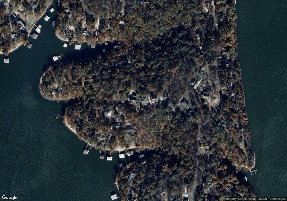
Map
Nearby Homes
- 451464 Cir
- 451403 Pheasant Cir
- 451354 Pheasant Ln
- 0 Lot 23 Blk 2 Coves
- 0 Lot 22 Blk 2 Coves
- 0 Lot 36 Blk 2 Pheasant Cir
- 451300 Pheasant Ln
- 33689 Spruce Grouse Ln
- 33872 S Coves Dr
- 0 Spruce Grouse Dr
- 0 S Coves Dr Unit 2516517
- 33765 S Coves Dr
- 34206 Osprey Rd
- 33662 Quail Ct
- 0 Ridge Rd Unit 2517984
- 33601 Dogwood Cliff Unit 20
- 33601 Dogwood Cliff Unit 15
- 33601 Dogwood Cliff Unit 9
- 33601 Dogwood Cliff Unit 14
- 33601 Dogwood Cliff
- 451448 Pheasant Cir
- 451478 Pheasant Cir
- 33717 Ridge Rd
- 451394 Pheasant Cir
- 0 Pheasant Cir Unit 507294
- 0 Pheasant Cir Unit 1024108
- 0 Pheasant Cir Unit 1024373
- 0 Pheasant Cir Unit 1024376
- 0 Pheasant Cir Unit 819430
- 0 Pheasant Cir Unit 918659
- 0 Pheasant Cir Unit 1000843
- 0 Pheasant Cir Unit 1031729
- 0 Pheasant Cir Unit 25-2250
- 0 Pheasant Cir Unit 25-2070
- 0 Pheasant Cir Unit 25-512
- 0 Pheasant Cir Unit 25-211
- 0 Pheasant Cir Unit 24-2280
- 0 Pheasant Cir Unit 13-1270
- 0 Pheasant Cir Unit 10-2480
- 0 Pheasant Cir Unit 9-463
Your Personal Tour Guide
Ask me questions while you tour the home.