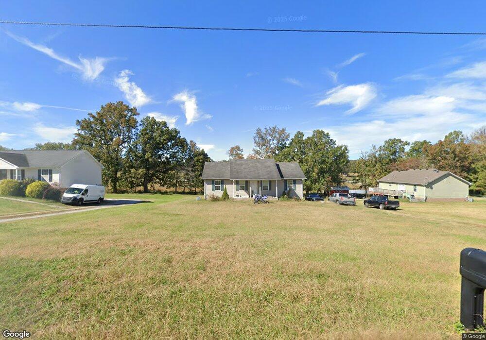
4515 Ewing Dr Baxter, TN 38544
Estimated Value: $266,938 - $349,000
3
Beds
2
Baths
1,315
Sq Ft
$224/Sq Ft
Est. Value
About This Home
This home is located at 4515 Ewing Dr, Baxter, TN 38544 and is currently estimated at $294,985, approximately $224 per square foot. 4515 Ewing Dr is a home located in Putnam County with nearby schools including Baxter Primary School, Cornerstone Elementary School, and Upperman Middle School.
Ownership History
Date
Name
Owned For
Owner Type
Purchase Details
Closed on
Apr 29, 2011
Sold by
Chaffin Dennis
Bought by
Shirley Eric W
Current Estimated Value
Home Financials for this Owner
Home Financials are based on the most recent Mortgage that was taken out on this home.
Original Mortgage
$134,611
Outstanding Balance
$92,330
Interest Rate
4.83%
Mortgage Type
Commercial
Estimated Equity
$202,655
Purchase Details
Closed on
Jan 25, 1972
Bought by
Bates Oscar and Vivian Nash
Create a Home Valuation Report for This Property
The Home Valuation Report is an in-depth analysis detailing your home's value as well as a comparison with similar homes in the area
Purchase History
We collect this data history from publicly available records. To have your information removed, we recommend requesting removal directly through your county’s website.
| Date | Buyer | Sale Price | Title Company |
|---|---|---|---|
| Shirley Eric W | $129,900 | -- | |
| Bates Oscar | -- | -- |
Source: Public Records
Mortgage History
We collect this data history from publicly available records. To have your information removed, we recommend requesting removal directly through your county’s website.
| Date | Status | Borrower | Loan Amount |
|---|---|---|---|
| Open | Shirley Eric W | $134,611 |
Source: Public Records
Tax History
| Year | Tax Paid | Tax Assessment Tax Assessment Total Assessment is a certain percentage of the fair market value that is determined by local assessors to be the total taxable value of land and additions on the property. | Land | Improvement |
|---|---|---|---|---|
| 2025 | $1,047 | $39,375 | $4,500 | $34,875 |
| 2024 | $1,047 | $39,375 | $4,500 | $34,875 |
| 2023 | $1,047 | $39,375 | $4,500 | $34,875 |
| 2022 | $973 | $39,375 | $4,500 | $34,875 |
| 2021 | $973 | $39,375 | $4,500 | $34,875 |
| 2020 | $1,012 | $39,375 | $4,500 | $34,875 |
| 2019 | $1,012 | $34,575 | $4,500 | $30,075 |
| 2018 | $944 | $34,575 | $4,500 | $30,075 |
| 2017 | $944 | $34,575 | $4,500 | $30,075 |
| 2016 | $944 | $34,575 | $4,500 | $30,075 |
| 2015 | $970 | $34,575 | $4,500 | $30,075 |
| 2014 | $914 | $32,570 | $0 | $0 |
Source: Public Records
Map
Nearby Homes
- 4535 Ewing Dr
- 8352 Southfork Rd
- 8368 Southfork Rd
- 7395 Andkoo Rd
- 4015 Baxter Rd
- 6775 Thomas Twin Oaks Rd
- 6955 Sweet Magnolia Way
- 7140 Honeysuckle Trail
- 6984 Honeysuckle Trail
- 7161 Honeysuckle Trail
- 6950 Honeysuckle Trail
- 8150 Water Plant Rd
- 5834 Canoe Way
- 6584 Thomas Twin Oaks Rd
- 6310 Thomas Twin Oaks Rd
- 7220 Ditty Rd
- 0000 Window Cliff Rd
- 4405 Window Cliff Rd
- 0 Riverwatch Trace Unit 242729
- 0 Riverwatch Trace Unit 27
- 4519 Ewing Dr
- 7276 Southfork Rd
- 7260 Southfork Rd
- 4523 Ewing Dr
- 4520 Ewing Dr
- 7240 Southfork Rd
- 4527 Ewing Dr
- 4536 Ewing Dr
- 4531 Ewing Dr
- 7224 Southfork Rd
- 4540 Ewing Dr
- 7208 Southfork Rd
- 7192 Southfork Rd
- 4539 Ewing Dr
- 4544 Ewing Dr
- 4543 Ewing Dr
- 4548 Ewing Dr
- 7420 Southfork Rd
- 7180 Southfork Rd
- 5817 Baxter Rd
Your Personal Tour Guide
Ask me questions while you tour the home.