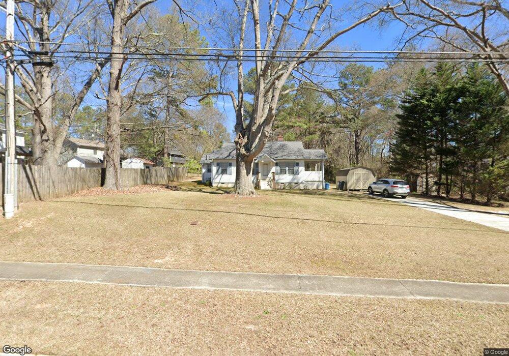
4515 Flint Hill Rd Austell, GA 30106
Estimated Value: $213,000 - $273,000
3
Beds
1
Bath
974
Sq Ft
$236/Sq Ft
Est. Value
About This Home
This home is located at 4515 Flint Hill Rd, Austell, GA 30106 and is currently estimated at $230,254, approximately $236 per square foot. 4515 Flint Hill Rd is a home located in Cobb County with nearby schools including Clarkdale Elementary School, Cooper Middle School, and Cumberland Christian Academy PK-12.
Ownership History
Date
Name
Owned For
Owner Type
Purchase Details
Closed on
Feb 21, 2001
Sold by
Hutto Joyce C
Bought by
Ware Jaime M
Current Estimated Value
Home Financials for this Owner
Home Financials are based on the most recent Mortgage that was taken out on this home.
Original Mortgage
$80,550
Outstanding Balance
$29,183
Interest Rate
7.12%
Mortgage Type
New Conventional
Estimated Equity
$201,071
Create a Home Valuation Report for This Property
The Home Valuation Report is an in-depth analysis detailing your home's value as well as a comparison with similar homes in the area
Home Values in the Area
Average Home Value in this Area
Purchase History
| Date | Buyer | Sale Price | Title Company |
|---|---|---|---|
| Ware Jaime M | $89,500 | -- |
Source: Public Records
Mortgage History
| Date | Status | Borrower | Loan Amount |
|---|---|---|---|
| Open | Ware Jaime M | $80,550 |
Source: Public Records
Tax History Compared to Growth
Tax History
| Year | Tax Paid | Tax Assessment Tax Assessment Total Assessment is a certain percentage of the fair market value that is determined by local assessors to be the total taxable value of land and additions on the property. | Land | Improvement |
|---|---|---|---|---|
| 2025 | $1,439 | $70,700 | $34,008 | $36,692 |
| 2024 | $1,440 | $70,700 | $34,008 | $36,692 |
| 2023 | $705 | $59,128 | $32,220 | $26,908 |
| 2022 | $964 | $48,388 | $21,480 | $26,908 |
| 2021 | $715 | $36,996 | $16,108 | $20,888 |
| 2020 | $715 | $36,996 | $16,108 | $20,888 |
| 2019 | $652 | $34,132 | $13,244 | $20,888 |
| 2018 | $599 | $31,696 | $12,172 | $19,524 |
| 2017 | $504 | $28,116 | $8,592 | $19,524 |
| 2016 | $506 | $28,116 | $8,592 | $19,524 |
| 2015 | $518 | $28,116 | $8,592 | $19,524 |
| 2014 | $394 | $22,408 | $0 | $0 |
Source: Public Records
Map
Nearby Homes
- 2473 Greenside Ct
- 4598 Flint Hill Rd
- 2402 Greenside Ct
- 2415 Wales Dr
- 2373 Buckley Ct
- 2300 Anderson Mill Rd
- 4821 Madison Point Cir
- 2349 Shire Ct
- 2774 Eloquent Ln
- 2200 Anderson Mill Rd
- 2110 Plum Ln Unit 5
- 4079 Broadmoor Ct SW
- 4420 Pink Rose Ct
- 4099 Bunker Dr SW
- 2095 Sparrowhawk Place SW
- 2331 Weslan Dr
- 2550 Dogwood Hills Ct Unit 2
- 2546 Dogwood Hills Ct
- 2435 Anderson Mill Rd
- 2437 Anderson Mill Rd
- 2433 Anderson Mill Rd
- 2431 Anderson Mill Rd
- 4570 Flint Hill Rd
- 2544 Dogwood Hills Ct
- 4520 Flint Hill Rd
- 2547 Flint Hill Rd
- 4505 Greenside Walk
- 4586 Flint Hill Rd
- 2549 Dogwood Hills Ct Unit BASEMENT
- 2549 Dogwood Hills Ct
- 2545 Dogwood Hills Ct Unit 2
- 2542 Dogwood Hills Ct
- 2543 Dogwood Hills Ct Unit 2
- 2429 Anderson Mill Rd
- 2445 Greenside Ct
- 4506 Greenside Walk