4515 State Highway 51b Unit 2 Porter, OK 74454
Estimated Value: $267,527 - $434,000
3
Beds
3
Baths
2,100
Sq Ft
$154/Sq Ft
Est. Value
About This Home
This home is located at 4515 State Highway 51b Unit 2, Porter, OK 74454 and is currently estimated at $322,882, approximately $153 per square foot. 4515 State Highway 51b Unit 2 is a home located in Wagoner County with nearby schools including Porter Consolidated High School.
Ownership History
Date
Name
Owned For
Owner Type
Purchase Details
Closed on
Sep 14, 2007
Sold by
Brown Dewitt and Brown Carolyn
Bought by
Dugan Carl A and Dugan Dawnetta S
Current Estimated Value
Purchase Details
Closed on
Apr 8, 2003
Sold by
Dugan Carl A and Dugan Lisa K
Bought by
Dugan Carl A and Hansen Dawnetta S
Purchase Details
Closed on
Sep 26, 1997
Sold by
Dugan C E
Create a Home Valuation Report for This Property
The Home Valuation Report is an in-depth analysis detailing your home's value as well as a comparison with similar homes in the area
Home Values in the Area
Average Home Value in this Area
Purchase History
| Date | Buyer | Sale Price | Title Company |
|---|---|---|---|
| Dugan Carl A | $2,000 | None Available | |
| Dugan Carl A | -- | -- | |
| -- | -- | -- |
Source: Public Records
Tax History Compared to Growth
Tax History
| Year | Tax Paid | Tax Assessment Tax Assessment Total Assessment is a certain percentage of the fair market value that is determined by local assessors to be the total taxable value of land and additions on the property. | Land | Improvement |
|---|---|---|---|---|
| 2024 | $1,651 | $19,040 | $496 | $18,544 |
| 2023 | $1,691 | $18,486 | $471 | $18,015 |
| 2022 | $1,630 | $17,606 | $414 | $17,192 |
| 2021 | $1,580 | $16,768 | $414 | $16,354 |
| 2020 | $1,533 | $15,969 | $413 | $15,556 |
| 2019 | $1,436 | $15,208 | $409 | $14,799 |
| 2018 | $1,324 | $14,484 | $393 | $14,091 |
| 2017 | $1,231 | $13,794 | $376 | $13,418 |
| 2016 | $1,157 | $13,138 | $364 | $12,774 |
| 2015 | -- | $12,512 | $346 | $12,166 |
| 2014 | -- | $12,148 | $336 | $11,812 |
Source: Public Records
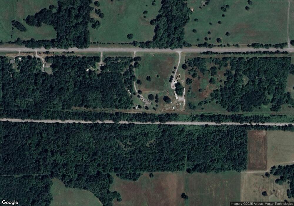
Map
Nearby Homes
- 9278 N 50th St W
- 0 221st East Ave Ave Unit 2527751
- 7586 Us Hwy 69
- 5637 W 80th St
- 4204 W 50th St N
- 21420 S 477th East Ave
- 07 W 90th St N
- 5321 Fern Mountain Dr
- 000 S 461st East Ave
- 007 W Fern Mountain Rd
- 7000 W Fern Mountain Rd
- 010 W Fern Mountain Rd
- 0 E 191st St S Unit 2523602
- 200 S 4200
- 200 N 4200
- 34170 E 241st St S
- 7209 W 32nd N
- 1535 W 34th St N
- 42311 E 201st St S
- 2940 N 17th St W
- 4515 State Highway 51b
- 4511 State Highway 51b
- 4783 State Highway 51b
- 370 Elm
- 350 Elm
- 320 Elm
- 120 State Highway 51b
- 6737 N 50th St W
- 49151 State Highway 51b
- 6853 N 50th St W
- 6204 N 50th St W
- 6725 N 40th St W
- 821 First St
- 6630 N 40th St W
- 49009 State Highway 51b
- 286 Jackson
- 7048 N 40th St W
- 6989 N 50th St W
- 21191 S 477th East Ave
- 3922 State Highway 51b