Estimated Value: $531,000 - $543,000
Studio
--
Bath
1,796
Sq Ft
$299/Sq Ft
Est. Value
About This Home
This home is located at 451509 Mountain Quail Ln, , 74331 and is currently estimated at $537,000, approximately $298 per square foot. 451509 Mountain Quail Ln is a home with nearby schools including Cleora Public School.
Ownership History
Date
Name
Owned For
Owner Type
Purchase Details
Closed on
Jun 20, 2014
Sold by
Degeer Scott J and Degeer Debbie K
Bought by
Arrowood Holdings Llc
Current Estimated Value
Purchase Details
Closed on
Aug 19, 2010
Sold by
Deer Cove Llc
Bought by
Degeer Scott J and Degeer Debbie K
Home Financials for this Owner
Home Financials are based on the most recent Mortgage that was taken out on this home.
Original Mortgage
$189,600
Interest Rate
4.6%
Mortgage Type
New Conventional
Create a Home Valuation Report for This Property
The Home Valuation Report is an in-depth analysis detailing your home's value as well as a comparison with similar homes in the area
Purchase History
| Date | Buyer | Sale Price | Title Company |
|---|---|---|---|
| Arrowood Holdings Llc | $235,000 | -- | |
| Degeer Scott J | $237,000 | -- |
Source: Public Records
Mortgage History
| Date | Status | Borrower | Loan Amount |
|---|---|---|---|
| Previous Owner | Degeer Scott J | $189,600 |
Source: Public Records
Tax History
| Year | Tax Paid | Tax Assessment Tax Assessment Total Assessment is a certain percentage of the fair market value that is determined by local assessors to be the total taxable value of land and additions on the property. | Land | Improvement |
|---|---|---|---|---|
| 2025 | $2,501 | $30,619 | $3,018 | $27,601 |
| 2024 | $2,382 | $29,161 | $2,874 | $26,287 |
| 2023 | $2,382 | $27,772 | $2,779 | $24,993 |
| 2022 | $2,202 | $26,450 | $2,779 | $23,671 |
| 2021 | $2,217 | $26,450 | $2,779 | $23,671 |
| 2020 | $2,243 | $26,450 | $2,779 | $23,671 |
| 2019 | $2,252 | $26,450 | $2,779 | $23,671 |
| 2018 | $2,272 | $26,450 | $2,300 | $24,150 |
| 2017 | $2,297 | $26,450 | $2,300 | $24,150 |
| 2016 | $2,215 | $26,450 | $2,300 | $24,150 |
| 2015 | $1,991 | $26,450 | $2,300 | $24,150 |
| 2014 | $1,970 | $26,165 | $2,300 | $23,865 |
Source: Public Records
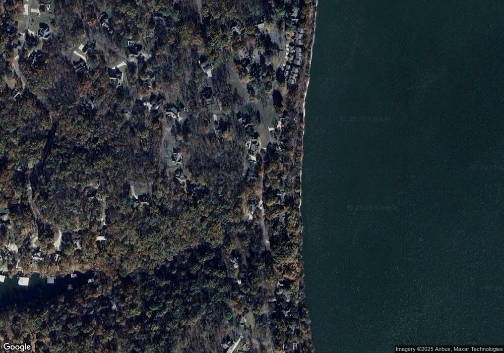
Map
Nearby Homes
- 33765 S Coves Dr
- 33601 Dogwood Cliff Unit 20
- 33601 Dogwood Cliff Unit 15
- 33601 Dogwood Cliff Unit 9
- 33601 Dogwood Cliff Unit 14
- 33601 Dogwood Cliff
- 33662 Quail Ct
- 0 Spruce Grouse Dr
- 33601 Dogwood Cliffs Unit 9
- 33872 S Coves Dr
- 0 Lot 22 Blk 2 Coves
- 0 Lot 23 Blk 2 Coves
- 33689 Spruce Grouse Ln
- 0 Blue Grouse Dr
- TBD Blue Grouse Dr
- 451403 Pheasant Cir
- 451464 Cir
- 0000 Ridge Rd
- 33415 Ridge Rd
- 451469 Blue Heron Dr
- 2077 S Coves Dr
- 0 Mountain Quail Ln
- 451505 Mountain Quail Ln
- 2012 S Coves Dr
- 2099 Coves
- 33746 S Coves Dr
- 33739 S Coves Dr
- 2006 S Coves Dr
- 0 S Cove Dr Unit 227283
- 0 S Cove Dr Unit 304073
- 0 S Cove Dr Unit 2236267
- 0 S Cove Dr Unit 2037002
- 0 S Cove Dr Unit 2110588
- 0 S Cove Dr Unit 2211643
- Lot 68 Sage Grouse Cir
- 0 S Coves Dr Unit 301026
- 0 S Coves Dr Unit 226406
- 0 S Coves Dr Unit 1024378
- 0 S Coves Dr Unit 1024366
- 0 S Coves Dr Unit 1024370
Your Personal Tour Guide
Ask me questions while you tour the home.