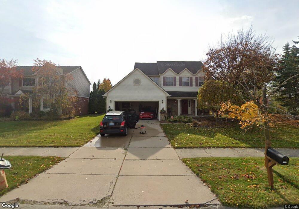
45151 Fox Pointe Dr Unit 1 Canton, MI 48187
Estimated Value: $399,000 - $462,000
--
Bed
3
Baths
1,926
Sq Ft
$219/Sq Ft
Est. Value
About This Home
This home is located at 45151 Fox Pointe Dr Unit 1, Canton, MI 48187 and is currently estimated at $422,316, approximately $219 per square foot. 45151 Fox Pointe Dr Unit 1 is a home located in Wayne County with nearby schools including Canton High School, Discovery Middle School, and Plymouth High School.
Ownership History
Date
Name
Owned For
Owner Type
Purchase Details
Closed on
Nov 18, 2009
Sold by
Dicesore Dennis B and Estate Of Richard Dicesore
Bought by
Dicesore Deanna Marie
Current Estimated Value
Home Financials for this Owner
Home Financials are based on the most recent Mortgage that was taken out on this home.
Original Mortgage
$96,000
Outstanding Balance
$62,363
Interest Rate
4.9%
Mortgage Type
New Conventional
Estimated Equity
$359,953
Create a Home Valuation Report for This Property
The Home Valuation Report is an in-depth analysis detailing your home's value as well as a comparison with similar homes in the area
Home Values in the Area
Average Home Value in this Area
Purchase History
| Date | Buyer | Sale Price | Title Company |
|---|---|---|---|
| Dicesore Deanna Marie | $186,000 | 1St Security Title Agency In |
Source: Public Records
Mortgage History
| Date | Status | Borrower | Loan Amount |
|---|---|---|---|
| Open | Dicesore Deanna Marie | $96,000 |
Source: Public Records
Tax History Compared to Growth
Tax History
| Year | Tax Paid | Tax Assessment Tax Assessment Total Assessment is a certain percentage of the fair market value that is determined by local assessors to be the total taxable value of land and additions on the property. | Land | Improvement |
|---|---|---|---|---|
| 2025 | $2,428 | $204,500 | $0 | $0 |
| 2024 | $2,428 | $185,500 | $0 | $0 |
| 2023 | $2,315 | $175,300 | $0 | $0 |
| 2022 | $5,056 | $159,200 | $0 | $0 |
| 2021 | $4,907 | $154,200 | $0 | $0 |
| 2020 | $4,844 | $150,700 | $0 | $0 |
| 2019 | $4,757 | $143,950 | $0 | $0 |
| 2018 | $1,967 | $139,730 | $0 | $0 |
| 2017 | $4,835 | $138,200 | $0 | $0 |
| 2016 | $4,323 | $133,300 | $0 | $0 |
| 2015 | $10,810 | $130,440 | $0 | $0 |
| 2013 | $10,472 | $113,070 | $0 | $0 |
| 2010 | -- | $100,860 | $57,737 | $43,123 |
Source: Public Records
Map
Nearby Homes
- 44585 Nantucket Dr
- 0000 Ford
- 50782 Ross St
- 48590 Ford Rd
- 6171 Gloucester Dr
- 44497 Savery Dr Unit 103
- 44661 Jeffrey Cir
- 1710 Longfellow Dr
- 6750 N Canton Center Rd
- 1584 Commodore Cir Unit 33
- 45139 Indian Creek Dr
- 1625 Longfellow Dr
- 45866 S Stonewood Rd
- 45668 S Stonewood Rd
- 45762 S Stonewood Rd
- 44018 Bannockburn Dr
- 6832 New Providence Way Unit 1007
- 45228 Patrick Dr
- 46555 Maben Rd
- 43737 Westminister Way
- 45137 Fox Pointe Dr
- 45123 Fox Pointe Dr
- 45068 Fox Pointe Dr Unit 27
- 45109 Fox Pointe Dr
- 45054 Fox Pointe Dr Unit 26
- 5860 N Canton Center Rd
- 45095 Fox Pointe Dr
- 45067 Fox Pointe Dr Unit 7
- 45081 Fox Pointe Dr Unit 6
- 45040 Fox Pointe Dr Unit 25
- 45053 Fox Pointe Dr
- 5840 N Canton Center Rd
- 5840 N Canton Center Rd Unit 260
- 5880 N Canton Center Rd Unit 450
- 5880 N Canton Center Rd
- 45026 Fox Pointe Dr Unit 24
- 45039 Fox Pointe Dr
- 44955 Fox Pointe Dr
- 45012 Fox Pointe Dr
- 5820 N Canton Center Rd