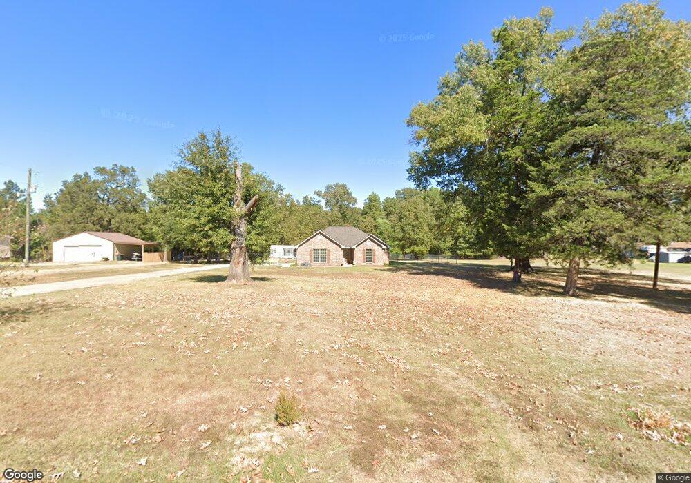
4516 Kent Rd Shreveport, LA 71107
Estimated Value: $191,000 - $249,000
3
Beds
2
Baths
1,449
Sq Ft
$146/Sq Ft
Est. Value
About This Home
This home is located at 4516 Kent Rd, Shreveport, LA 71107 and is currently estimated at $211,125, approximately $145 per square foot. 4516 Kent Rd is a home located in Caddo Parish with nearby schools including Blanchard Elementary School, Judson Fundamental Elementary School, and Fairfield Magnet School.
Ownership History
Date
Name
Owned For
Owner Type
Purchase Details
Closed on
Dec 19, 2014
Sold by
Yeates David Wayne
Bought by
Stahl Anthony Cliff
Current Estimated Value
Home Financials for this Owner
Home Financials are based on the most recent Mortgage that was taken out on this home.
Original Mortgage
$171,428
Outstanding Balance
$131,892
Interest Rate
4.04%
Mortgage Type
New Conventional
Estimated Equity
$79,233
Create a Home Valuation Report for This Property
The Home Valuation Report is an in-depth analysis detailing your home's value as well as a comparison with similar homes in the area
Home Values in the Area
Average Home Value in this Area
Purchase History
| Date | Buyer | Sale Price | Title Company |
|---|---|---|---|
| Stahl Anthony Cliff | $168,000 | United Title Of Louisiana In |
Source: Public Records
Mortgage History
| Date | Status | Borrower | Loan Amount |
|---|---|---|---|
| Open | Stahl Anthony Cliff | $171,428 |
Source: Public Records
Tax History Compared to Growth
Tax History
| Year | Tax Paid | Tax Assessment Tax Assessment Total Assessment is a certain percentage of the fair market value that is determined by local assessors to be the total taxable value of land and additions on the property. | Land | Improvement |
|---|---|---|---|---|
| 2024 | $2,389 | $16,166 | $1,389 | $14,777 |
| 2023 | $2,288 | $15,037 | $1,323 | $13,714 |
| 2022 | $2,288 | $15,037 | $1,323 | $13,714 |
| 2021 | $2,289 | $15,037 | $1,323 | $13,714 |
| 2020 | $2,290 | $15,037 | $1,323 | $13,714 |
| 2019 | $2,157 | $14,278 | $1,323 | $12,955 |
| 2018 | $1,063 | $14,278 | $1,323 | $12,955 |
| 2017 | $2,152 | $14,278 | $1,323 | $12,955 |
| 2015 | $1,087 | $14,278 | $1,323 | $12,955 |
| 2014 | $1,094 | $14,280 | $1,320 | $12,960 |
| 2013 | -- | $1,320 | $1,320 | $0 |
Source: Public Records
Map
Nearby Homes
- 4687 Kent Rd
- 6095 Pine Hill Rd
- 8308 Creekdale St
- 0 Cambridge Cir
- 6105 Shadow Wood Dr
- TBD Northwood Rd S
- 0 Northport Blvd Unit 21100070
- 6899 White Tail Ln
- 1042 N Lane Dr
- 5555 Old Mooringsport Rd
- 5536 Northwood S
- 0 Buckingham Dr Unit 21060001
- 5785 Bunker Way
- 5244 N Market St
- 5913 Alaska Ln
- 5196 Cadabra Dr
- 5922 Alaska Ln
- 4835 Bogey Ln
- 4821 Bogey Ln
- 4833 Bogey Ln