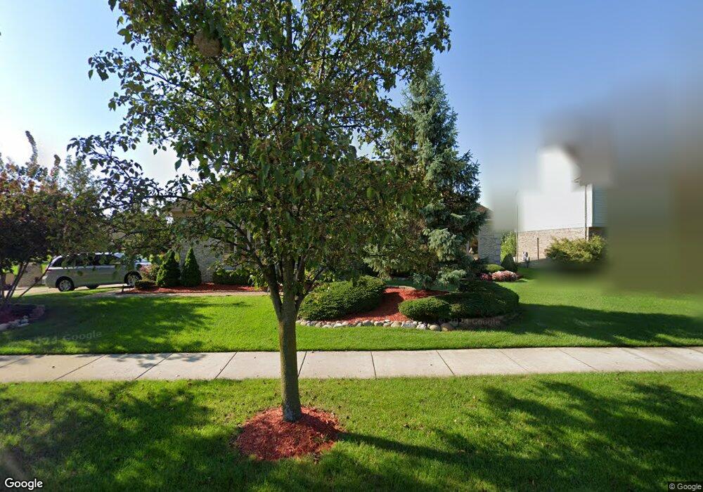
45167 Lothrop Rd Canton, MI 48188
Estimated Value: $525,226 - $576,000
--
Bed
3
Baths
2,209
Sq Ft
$250/Sq Ft
Est. Value
About This Home
This home is located at 45167 Lothrop Rd, Canton, MI 48188 and is currently estimated at $551,557, approximately $249 per square foot. 45167 Lothrop Rd is a home located in Wayne County with nearby schools including Bentley Elementary School, Canton High School, and Plymouth High School.
Ownership History
Date
Name
Owned For
Owner Type
Purchase Details
Closed on
May 26, 1994
Sold by
Crescentini Lewiston
Bought by
Hovis Richard L and Hovis Sandra
Current Estimated Value
Home Financials for this Owner
Home Financials are based on the most recent Mortgage that was taken out on this home.
Original Mortgage
$65,000
Interest Rate
8.48%
Mortgage Type
New Conventional
Create a Home Valuation Report for This Property
The Home Valuation Report is an in-depth analysis detailing your home's value as well as a comparison with similar homes in the area
Home Values in the Area
Average Home Value in this Area
Purchase History
| Date | Buyer | Sale Price | Title Company |
|---|---|---|---|
| Hovis Richard L | $209,850 | -- |
Source: Public Records
Mortgage History
| Date | Status | Borrower | Loan Amount |
|---|---|---|---|
| Closed | Hovis Richard L | $65,000 |
Source: Public Records
Tax History Compared to Growth
Tax History
| Year | Tax Paid | Tax Assessment Tax Assessment Total Assessment is a certain percentage of the fair market value that is determined by local assessors to be the total taxable value of land and additions on the property. | Land | Improvement |
|---|---|---|---|---|
| 2025 | $3,319 | $257,800 | $0 | $0 |
| 2024 | $3,319 | $230,800 | $0 | $0 |
| 2023 | $3,164 | $214,900 | $0 | $0 |
| 2022 | $6,845 | $196,200 | $0 | $0 |
| 2021 | $6,642 | $191,600 | $0 | $0 |
| 2020 | $6,560 | $184,300 | $0 | $0 |
| 2019 | $6,441 | $178,110 | $0 | $0 |
| 2018 | $2,689 | $173,270 | $0 | $0 |
| 2017 | $6,491 | $168,700 | $0 | $0 |
| 2016 | $5,849 | $163,100 | $0 | $0 |
| 2015 | $14,776 | $157,650 | $0 | $0 |
| 2013 | $14,314 | $148,150 | $0 | $0 |
| 2010 | -- | $134,300 | $71,009 | $63,291 |
Source: Public Records
Map
Nearby Homes
- 45242 Thornhill Rd
- 45030 Glengarry Rd
- 45400 William Ct
- 43871 Yorktown St
- 288 Edington Cir Unit 61
- 44322 Vassar St
- 1619 Nowland Ct
- 278 Cornell St
- 227 Edington Cir
- 550 Cherry Grove Rd Unit 111
- 46509 Killarney Cir
- 43661 Antietam Ct
- 46502 Killarney Cir Unit 191
- 43592 Champlain Ct
- 2210 Woodmont Dr W
- 43664 Appomattox Ct
- 46449 Killarney Ct Unit Bldg-Unit160
- 1700 Thistle Dr
- 1937 S Cavalier Dr
- 1709 Thistle Dr Unit 51
- 45193 Lothrop Rd
- 45225 Lothrop Rd
- 45109 Lothrop Ct
- 45194 Lothrop Rd
- 45233 Lothrop Rd
- 45226 Lothrop Rd
- 45166 Thornhill Rd
- 45192 Thornhill Rd
- 45110 Lothrop Ct
- 45091 Lothrop Ct
- 45224 Thornhill Rd
- 45234 Lothrop Rd
- 45243 Lothrop Rd
- 45169 Middlebury Ln
- 45108 Thornhill Ct
- 45195 Middlebury Ln
- 45092 Lothrop Ct
- 45232 Thornhill Rd
- 45071 Lothrop Ct
- 45244 Lothrop Rd