4517 Nesbit Rd Monroe, NC 28112
Estimated Value: $236,000 - $360,000
Studio
--
Bath
1,568
Sq Ft
$191/Sq Ft
Est. Value
About This Home
This home is located at 4517 Nesbit Rd, Monroe, NC 28112 and is currently estimated at $300,059, approximately $191 per square foot. 4517 Nesbit Rd is a home with nearby schools including Western Union Elementary School, Parkwood Middle School, and Parkwood High School.
Ownership History
Date
Name
Owned For
Owner Type
Purchase Details
Closed on
Sep 4, 1998
Sold by
Austin James and Austin Lisa Ann W
Bought by
Austin James I and Austin Melissa A
Current Estimated Value
Home Financials for this Owner
Home Financials are based on the most recent Mortgage that was taken out on this home.
Original Mortgage
$30,000
Interest Rate
6.47%
Mortgage Type
Stand Alone Second
Create a Home Valuation Report for This Property
The Home Valuation Report is an in-depth analysis detailing your home's value as well as a comparison with similar homes in the area
Purchase History
| Date | Buyer | Sale Price | Title Company |
|---|---|---|---|
| Austin James I | -- | -- |
Source: Public Records
Mortgage History
| Date | Status | Borrower | Loan Amount |
|---|---|---|---|
| Closed | Austin James I | $30,000 |
Source: Public Records
Tax History
| Year | Tax Paid | Tax Assessment Tax Assessment Total Assessment is a certain percentage of the fair market value that is determined by local assessors to be the total taxable value of land and additions on the property. | Land | Improvement |
|---|---|---|---|---|
| 2025 | $1,052 | $218,400 | $0 | $0 |
| 2024 | $763 | $118,700 | $44,300 | $74,400 |
| 2023 | $753 | $118,700 | $44,300 | $74,400 |
| 2022 | $753 | $118,700 | $44,300 | $74,400 |
| 2021 | $748 | $118,700 | $44,300 | $74,400 |
| 2020 | $602 | $60,350 | $17,950 | $42,400 |
| 2019 | $475 | $60,350 | $17,950 | $42,400 |
| 2018 | $475 | $60,350 | $17,950 | $42,400 |
| 2017 | $506 | $60,400 | $18,000 | $42,400 |
| 2016 | $489 | $60,350 | $17,950 | $42,400 |
| 2015 | $498 | $60,350 | $17,950 | $42,400 |
| 2014 | $669 | $96,000 | $31,620 | $64,380 |
Source: Public Records
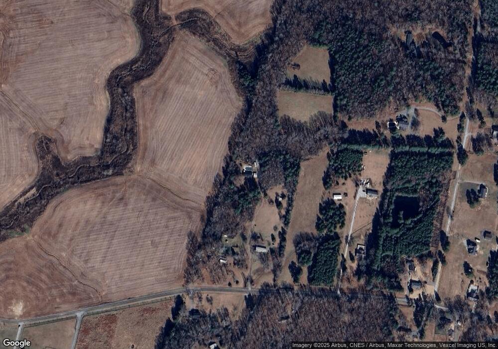
Map
Nearby Homes
- 4607 Nesbit Rd
- 0 Nesbit Rd Unit CAR4290917
- 6404 Lancaster Hwy
- 4105 Parkwood School Rd
- 0 Parkwood School Rd
- 6419 Lancaster Hwy Unit 9, 19
- 01 Lancaster Hwy
- 106 Serenity Creek Dr
- 110 Serenity Creek Dr
- 5313 Old Highway Rd
- 3605 Crow Rd
- 3624 Crow Rd
- 4924 Parkwood School Rd
- 5124 Pond Bluff Dr
- 5904 Mcwhorter Rd
- 5106 Pond Bluff Dr
- 7513 Lancaster Hwy Unit 6
- 7517 Lancaster Hwy Unit 5
- 5200 Lancaster Hwy
- 5110 Pond Bluff Dr
- 4521 Nesbit Rd
- 4515 Nesbit Rd
- 4605 Nesbit Rd
- 4609 Nesbit Rd
- 4512 Nesbit Rd
- 4510 Rollingwood Ln
- 4619 Nesbit Rd
- 4414 Rollingwood Ln
- 4518 Nesbit Rd
- 4610 Nesbit Rd
- 4618 Nesbit Rd
- 4609 Rollingwood Ln
- 4519 Rollingwood Ln
- 4704 Nesbit Rd
- 4509 Rollingwood Ln
- 4705 Nesbit Rd
- 4709 Nesbit Rd
- 4706 Nesbit Rd
- 4406 Rollingwood Ln
- 4203 Nesbit Rd
Your Personal Tour Guide
Ask me questions while you tour the home.