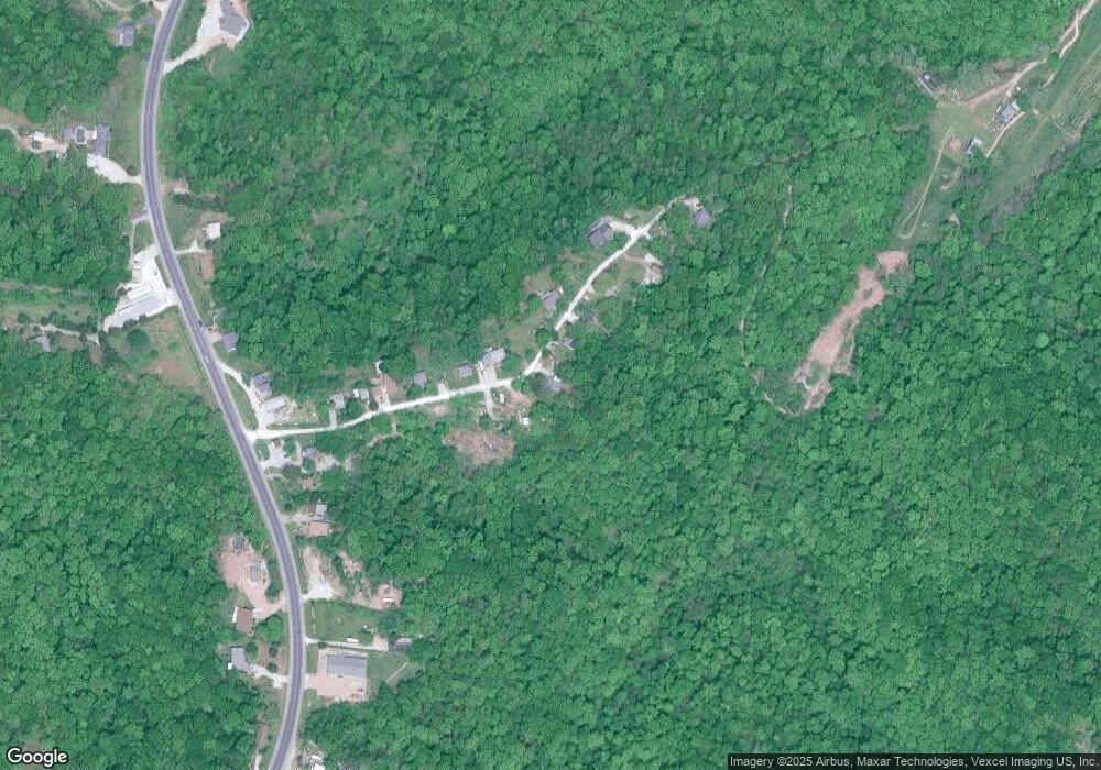
4517 Ridge Rd Barnhart, MO 63012
Estimated Value: $140,785 - $184,000
--
Bed
--
Bath
814
Sq Ft
$199/Sq Ft
Est. Value
About This Home
This home is located at 4517 Ridge Rd, Barnhart, MO 63012 and is currently estimated at $161,696, approximately $198 per square foot. 4517 Ridge Rd is a home located in Jefferson County with nearby schools including Antonia Elementary School, Antonia Middle School, and Seckman Senior High School.
Ownership History
Date
Name
Owned For
Owner Type
Purchase Details
Closed on
Mar 17, 2003
Sold by
Little Robyn Deanne
Bought by
Bargeon Robert C
Current Estimated Value
Home Financials for this Owner
Home Financials are based on the most recent Mortgage that was taken out on this home.
Original Mortgage
$43,110
Outstanding Balance
$18,465
Interest Rate
5.83%
Estimated Equity
$143,231
Purchase Details
Closed on
Mar 2, 2001
Sold by
Williams Lloyd R
Bought by
Little Robyn Deanne
Home Financials for this Owner
Home Financials are based on the most recent Mortgage that was taken out on this home.
Original Mortgage
$35,910
Interest Rate
11.6%
Purchase Details
Closed on
Feb 16, 2000
Sold by
Secretary Of Hud
Bought by
Williams Lloyd R
Purchase Details
Closed on
Dec 1, 1998
Sold by
Denman Perry E
Bought by
First Of America Mtg Company
Create a Home Valuation Report for This Property
The Home Valuation Report is an in-depth analysis detailing your home's value as well as a comparison with similar homes in the area
Home Values in the Area
Average Home Value in this Area
Purchase History
| Date | Buyer | Sale Price | Title Company |
|---|---|---|---|
| Bargeon Robert C | -- | Multiple | |
| Little Robyn Deanne | -- | -- | |
| Williams Lloyd R | -- | -- | |
| First Of America Mtg Company | $32,450 | First American Title |
Source: Public Records
Mortgage History
| Date | Status | Borrower | Loan Amount |
|---|---|---|---|
| Open | Bargeon Robert C | $43,110 | |
| Previous Owner | Little Robyn Deanne | $35,910 |
Source: Public Records
Tax History Compared to Growth
Tax History
| Year | Tax Paid | Tax Assessment Tax Assessment Total Assessment is a certain percentage of the fair market value that is determined by local assessors to be the total taxable value of land and additions on the property. | Land | Improvement |
|---|---|---|---|---|
| 2025 | $790 | $12,700 | $3,300 | $9,400 |
| 2024 | $790 | $11,600 | $3,300 | $8,300 |
| 2023 | $790 | $11,600 | $3,300 | $8,300 |
| 2022 | $789 | $11,600 | $3,300 | $8,300 |
| 2021 | $790 | $11,600 | $3,300 | $8,300 |
| 2020 | $779 | $10,700 | $3,000 | $7,700 |
| 2019 | $779 | $10,700 | $3,000 | $7,700 |
| 2018 | $772 | $10,700 | $3,000 | $7,700 |
| 2017 | $746 | $10,700 | $3,000 | $7,700 |
| 2016 | $684 | $9,800 | $3,000 | $6,800 |
| 2015 | $685 | $9,800 | $3,000 | $6,800 |
| 2013 | -- | $9,200 | $2,800 | $6,400 |
Source: Public Records
Map
Nearby Homes
- 0 Wooded Acres
- 6748 Old State Route 21
- 7577 Sheppard Dr
- 4598 Schenk Rd
- 3544 Antonia Woods Dr
- 4844 Walmar Rd
- 6420 Glennsway Dr
- 6606 Old Lemay Ferry Rd
- Amanda Plan at Antonia Estates
- Kayla Plan at Antonia Estates
- Marylyn Plan at Antonia Estates
- Madison Plan at Antonia Estates
- Julieann Plan at Antonia Estates
- Blake Plan at Antonia Estates
- Connor Plan at Antonia Estates
- Brittany Plan at Antonia Estates
- 0 Antonia Estates - Brittany Unit MAR24055149
- 0 Antonia Estates - Amanda Unit MAR24055190
- 0 Antonia Estates - Madison Unit MAR24055178
- 0 Antonia Estates - Marylyn Unit MAR24055182
- 4515 Ridge Rd
- 0 Ridge Rd
- 4524 Ridge Rd
- 4513 Ridge Rd
- 4514 Ridge Rd
- 4526 Ridge Rd
- 4534 Ridge Rd
- 4504 Ridge Rd
- 4538 Ridge Rd
- 4499 Ridge Rd
- 0Lot S Ridge Dr
- 4546 Ridge Rd
- 4495 Ridge Rd
- 4507 Ridge Rd
- 7102 Old State Route 21
- 7108 Old State Route 21
- 7108 Old Missouri 21
- 7114 Old State Route 21
- 7116 Old State Route 21
- 7096 Old State Route 21
