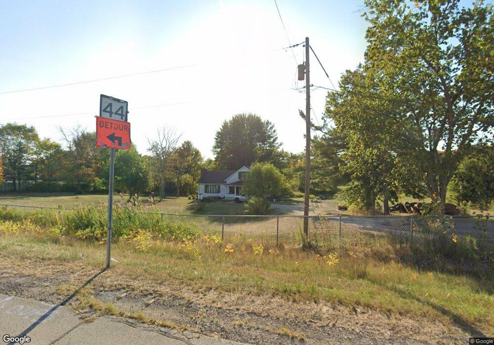
4517 State Route 44 Ravenna, OH 44266
Estimated Value: $163,798 - $213,000
3
Beds
2
Baths
1,142
Sq Ft
$165/Sq Ft
Est. Value
About This Home
This home is located at 4517 State Route 44, Ravenna, OH 44266 and is currently estimated at $188,950, approximately $165 per square foot. 4517 State Route 44 is a home located in Portage County with nearby schools including Rootstown Middle School - Schnee Building, Rootstown High School, and Ravenna Christian School.
Ownership History
Date
Name
Owned For
Owner Type
Purchase Details
Closed on
Apr 2, 2014
Sold by
Elrod Jackie Douglas
Bought by
Elrod Connie E and Connie E Elrod Revocable Trust
Current Estimated Value
Purchase Details
Closed on
Feb 26, 2005
Sold by
Elrod Connie E and Elrod Jackie Douglas
Bought by
Elrod Jackie Douglas and Jackie Douglas Elrod Trust
Purchase Details
Closed on
Aug 5, 1997
Sold by
Fluke Wesley
Bought by
Connie E Elrod
Purchase Details
Closed on
Jul 7, 1997
Sold by
Fluke Wesley
Bought by
Mark A Robinson
Create a Home Valuation Report for This Property
The Home Valuation Report is an in-depth analysis detailing your home's value as well as a comparison with similar homes in the area
Home Values in the Area
Average Home Value in this Area
Purchase History
| Date | Buyer | Sale Price | Title Company |
|---|---|---|---|
| Elrod Connie E | -- | None Available | |
| Elrod Jackie Douglas | -- | -- | |
| Connie E Elrod | $100,000 | -- | |
| Mark A Robinson | $41,000 | -- |
Source: Public Records
Tax History Compared to Growth
Tax History
| Year | Tax Paid | Tax Assessment Tax Assessment Total Assessment is a certain percentage of the fair market value that is determined by local assessors to be the total taxable value of land and additions on the property. | Land | Improvement |
|---|---|---|---|---|
| 2024 | $1,540 | $36,510 | $12,530 | $23,980 |
| 2023 | $1,416 | $29,900 | $11,030 | $18,870 |
| 2022 | $1,391 | $29,900 | $11,030 | $18,870 |
| 2021 | $1,383 | $29,900 | $11,030 | $18,870 |
| 2020 | $1,617 | $26,500 | $10,500 | $16,000 |
| 2019 | $1,360 | $26,500 | $10,500 | $16,000 |
| 2018 | $1,336 | $26,320 | $11,200 | $15,120 |
| 2017 | $1,336 | $26,320 | $11,200 | $15,120 |
| 2016 | $1,303 | $26,320 | $11,200 | $15,120 |
| 2015 | $1,317 | $26,320 | $11,200 | $15,120 |
| 2014 | $1,342 | $26,320 | $11,200 | $15,120 |
| 2013 | $1,333 | $26,320 | $11,200 | $15,120 |
Source: Public Records
Map
Nearby Homes
- 4326 Clover Dr
- 0 Lynn Rd Unit 5110102
- V/L 2 Lynn Rd
- V/L Lynn Rd
- 4415 Farmette Dr
- sub lot Lane Ave
- 4691 Scenic Dr
- 4196 Sabin Dr
- 0 Roosevelt Unit 5142588
- 4391 Sandy Lake Rd
- 0 New Milford Rd Unit 5108183
- 4786 Sandy Lake Rd
- 4404 Hattrick Rd
- 4140 Sandy Lake Rd
- 4165 Timber Run
- 4811 Kelly Ave
- 1257 Shadowlawn Dr
- 655 Ellen Ct
- 3123 Clearview Rd
- 1226 S Diamond St
- 0 Prospect Unit 3640585
- 0 Prospect Unit 4424917
- 4532 State Route 44
- 4512 State Route 44
- 4550 State Route 44
- 4205 Tonsing Dr
- 4216 Tonsing Dr
- 4508 State Route 44
- 4568 State Route 44
- 4581 State Route 44
- 4215 Tonsing Dr
- 4471 State Route 44
- 999 State Route 44
- 123 State Route 44
- 1 VL State Route 5
- 4226 Tonsing Dr
- 4135 Lynn Rd
- 2 VL St Rt 5
- 4225 Tonsing Dr
- 4235 Tonsing Dr