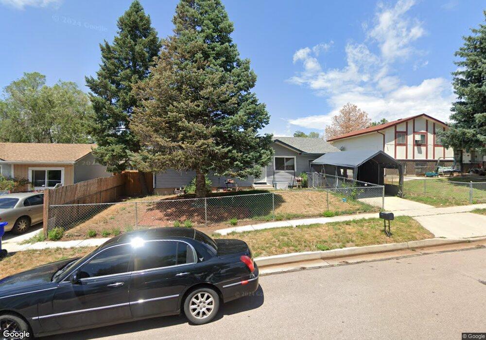
4518 Dewey Dr Colorado Springs, CO 80916
Eastborough NeighborhoodEstimated Value: $319,928 - $366,000
5
Beds
2
Baths
931
Sq Ft
$372/Sq Ft
Est. Value
About This Home
This home is located at 4518 Dewey Dr, Colorado Springs, CO 80916 and is currently estimated at $346,232, approximately $371 per square foot. 4518 Dewey Dr is a home located in El Paso County with nearby schools including Jack Swigert Aerospace Academy, Mitchell High School, and Roosevelt Edison Charter School.
Ownership History
Date
Name
Owned For
Owner Type
Purchase Details
Closed on
Mar 4, 2003
Sold by
Lewis Franklin B
Bought by
Thornton Tijuana L
Current Estimated Value
Home Financials for this Owner
Home Financials are based on the most recent Mortgage that was taken out on this home.
Original Mortgage
$103,920
Outstanding Balance
$48,142
Interest Rate
6.95%
Estimated Equity
$298,090
Purchase Details
Closed on
Feb 9, 1999
Sold by
Walton Charles E and Walton Dorothy A
Bought by
Lewis Franklin B
Home Financials for this Owner
Home Financials are based on the most recent Mortgage that was taken out on this home.
Original Mortgage
$105,550
Interest Rate
7.5%
Mortgage Type
VA
Purchase Details
Closed on
Jan 3, 1992
Bought by
Thornton Tijuana L
Purchase Details
Closed on
May 1, 1980
Bought by
Thornton Tijuana L
Create a Home Valuation Report for This Property
The Home Valuation Report is an in-depth analysis detailing your home's value as well as a comparison with similar homes in the area
Home Values in the Area
Average Home Value in this Area
Purchase History
| Date | Buyer | Sale Price | Title Company |
|---|---|---|---|
| Thornton Tijuana L | $129,900 | -- | |
| Lewis Franklin B | $103,500 | North American Title Co | |
| Thornton Tijuana L | $52,000 | -- | |
| Thornton Tijuana L | -- | -- |
Source: Public Records
Mortgage History
| Date | Status | Borrower | Loan Amount |
|---|---|---|---|
| Open | Thornton Tijuana L | $103,920 | |
| Previous Owner | Lewis Franklin B | $105,550 |
Source: Public Records
Tax History Compared to Growth
Tax History
| Year | Tax Paid | Tax Assessment Tax Assessment Total Assessment is a certain percentage of the fair market value that is determined by local assessors to be the total taxable value of land and additions on the property. | Land | Improvement |
|---|---|---|---|---|
| 2025 | $1,119 | $24,060 | -- | -- |
| 2024 | $1,008 | $24,530 | $3,550 | $20,980 |
| 2023 | $1,008 | $24,530 | $3,550 | $20,980 |
| 2022 | $998 | $17,830 | $3,130 | $14,700 |
| 2021 | $1,082 | $18,340 | $3,220 | $15,120 |
| 2020 | $913 | $13,450 | $2,500 | $10,950 |
| 2019 | $908 | $13,450 | $2,500 | $10,950 |
| 2018 | $757 | $10,310 | $1,690 | $8,620 |
| 2017 | $716 | $10,310 | $1,690 | $8,620 |
| 2016 | $583 | $10,050 | $1,750 | $8,300 |
| 2015 | $580 | $10,050 | $1,750 | $8,300 |
| 2014 | $578 | $9,610 | $1,750 | $7,860 |
Source: Public Records
Map
Nearby Homes
- 4317 Dryden Dr
- 4569 Eastcrest Cir W
- 320 Vehr Dr
- 4216 Shelley Ave
- 4107 Keats Place
- 4750 Wilde Dr
- 529 Shady Crest Cir
- 116 S Murray Blvd
- 40 Murray Heights Dr
- 216 Longfellow Dr
- 4675 Skylark Rd
- 562 Welsh Cir
- 4415 E Pikes Peak Ave
- 4202 Whittier Dr
- 4704 Wilde Dr
- 4245 Kyle Ln
- 4104 Husted Mill Ct
- 610 Welsh Cir
- 4018 Shelley Ave
- 680 Welsh Cir