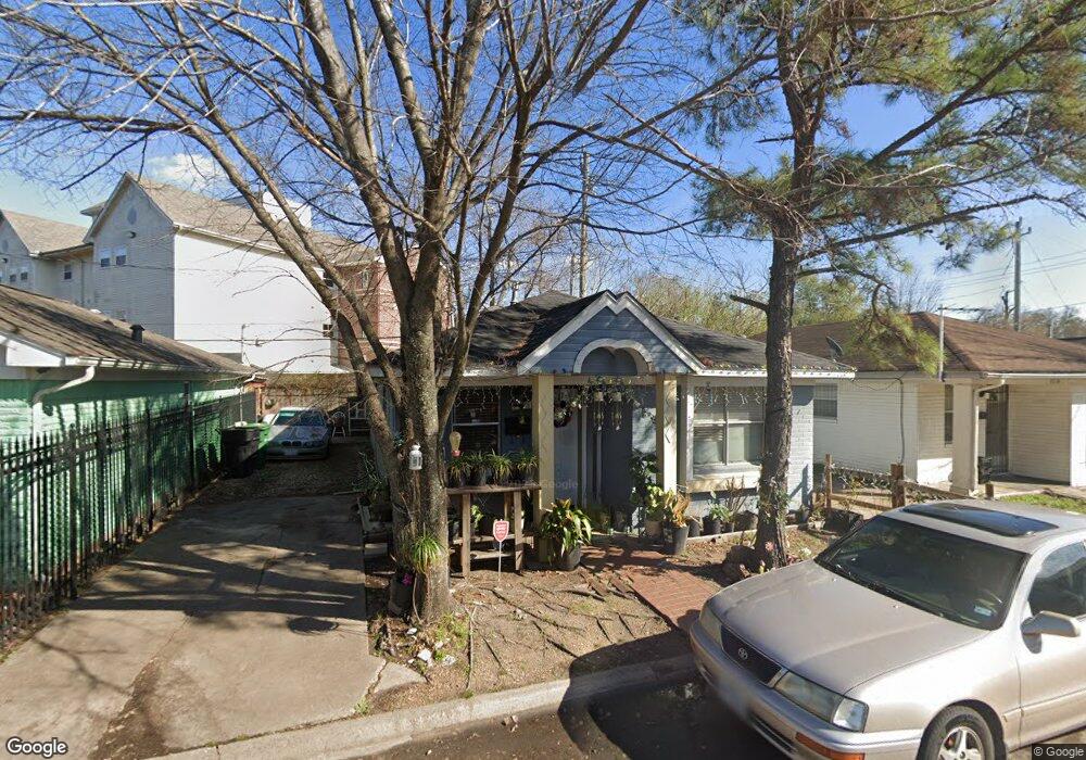
4518 Lelay Cir Houston, TX 77022
Independence Heights NeighborhoodEstimated Value: $156,261 - $216,000
2
Beds
1
Bath
862
Sq Ft
$204/Sq Ft
Est. Value
About This Home
This home is located at 4518 Lelay Cir, Houston, TX 77022 and is currently estimated at $175,815, approximately $203 per square foot. 4518 Lelay Cir is a home located in Harris County with nearby schools including Kennedy Elementary School, Williams Middle, and Booker T Washington Sr High.
Ownership History
Date
Name
Owned For
Owner Type
Purchase Details
Closed on
Jan 30, 1998
Sold by
Blankenship Trust
Bought by
Murillo Alma D and Murillo Francisco J
Current Estimated Value
Home Financials for this Owner
Home Financials are based on the most recent Mortgage that was taken out on this home.
Original Mortgage
$41,300
Outstanding Balance
$7,298
Interest Rate
6.98%
Estimated Equity
$168,517
Purchase Details
Closed on
Aug 26, 1997
Sold by
Drennan Ulrick
Bought by
Blankenship Trust
Create a Home Valuation Report for This Property
The Home Valuation Report is an in-depth analysis detailing your home's value as well as a comparison with similar homes in the area
Home Values in the Area
Average Home Value in this Area
Purchase History
| Date | Buyer | Sale Price | Title Company |
|---|---|---|---|
| Murillo Alma D | -- | Alamo Title Company #77 | |
| Blankenship Trust | -- | -- |
Source: Public Records
Mortgage History
| Date | Status | Borrower | Loan Amount |
|---|---|---|---|
| Open | Murillo Alma D | $41,300 |
Source: Public Records
Tax History Compared to Growth
Tax History
| Year | Tax Paid | Tax Assessment Tax Assessment Total Assessment is a certain percentage of the fair market value that is determined by local assessors to be the total taxable value of land and additions on the property. | Land | Improvement |
|---|---|---|---|---|
| 2025 | $2,417 | $119,711 | $33,653 | $86,058 |
| 2024 | $2,417 | $121,624 | $33,653 | $87,971 |
| 2023 | $2,417 | $96,244 | $33,653 | $62,591 |
| 2022 | $2,119 | $96,244 | $33,653 | $62,591 |
| 2021 | $1,422 | $60,999 | $13,857 | $47,142 |
| 2020 | $1,477 | $60,999 | $13,857 | $47,142 |
| 2019 | $1,292 | $51,076 | $13,857 | $37,219 |
| 2018 | $1,135 | $44,847 | $13,857 | $30,990 |
| 2017 | $1,134 | $44,847 | $13,857 | $30,990 |
| 2016 | $782 | $30,938 | $4,949 | $25,989 |
| 2015 | $795 | $30,938 | $4,949 | $25,989 |
| 2014 | $795 | $30,938 | $4,949 | $25,989 |
Source: Public Records
Map
Nearby Homes
- 144 Knightsbridge Park Ln
- 147 Knightsbridge Park Ln
- 107 W Whitney St Unit E
- 107 W Whitney St Unit C
- 4423 Yale St
- 225 Noras Ln Unit E
- 8901 N Main St
- 4510 Old Yale St Unit A
- 115 E Thornton Rd
- 4435 Whitney Oak Ln
- 310 Walthall Dr
- 312 Walthall Dr
- 315 E Whitney St
- 0 Victoria Unit 54691087
- 4605 Yale St Unit C
- 4605 Yale St Unit A
- 4605 Yale St Unit J
- 320 Thornton Rd
- 0 E 45th St
- 303 Victoria Dr
- 4522 Lelay Cir
- 4514 Lelay Cir
- 4526 Lelay Cir
- 4510 Lelay Cir
- 4519 Lelay Cir
- 4523 Lelay Cir
- 4515 Lelay Cir
- 4506 Lelay Cir
- 4530 Lelay Cir
- 4527 Lelay Cir
- 4511 Lelay Cir
- 4531 Lelay Cir
- 4534 Lelay Cir
- 4507 Lelay Cir
- 4518 Pecan Park Cir
- 4522 Pecan Park Cir
- 4514 Pecan Park Cir
- 4526 Pecan Park Cir
- 4510 Pecan Park Cir
- 4535 Lelay Cir