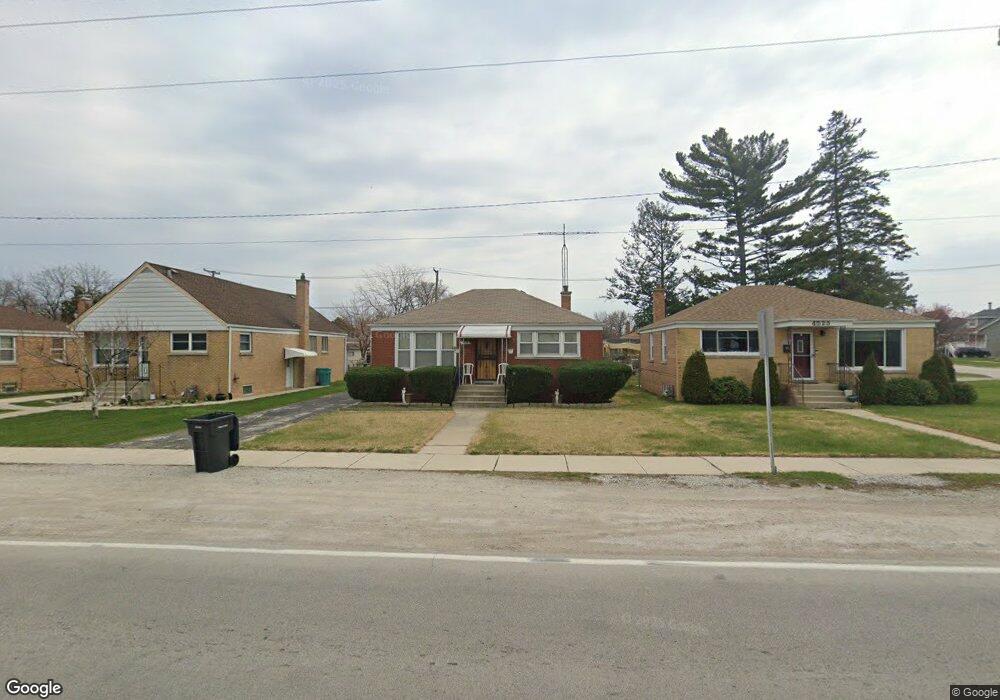
4519 Butterfield Rd Hillside, IL 60162
Estimated Value: $259,170 - $300,000
2
Beds
2
Baths
858
Sq Ft
$316/Sq Ft
Est. Value
About This Home
This home is located at 4519 Butterfield Rd, Hillside, IL 60162 and is currently estimated at $271,043, approximately $315 per square foot. 4519 Butterfield Rd is a home located in Cook County with nearby schools including Jefferson Primary School, Macarthur Intermediate School, and Proviso West High School.
Ownership History
Date
Name
Owned For
Owner Type
Purchase Details
Closed on
Oct 14, 2003
Sold by
Hud
Bought by
Dixon Betty
Current Estimated Value
Home Financials for this Owner
Home Financials are based on the most recent Mortgage that was taken out on this home.
Original Mortgage
$137,845
Interest Rate
7.99%
Mortgage Type
Unknown
Purchase Details
Closed on
Jan 31, 2003
Sold by
Thurmond Robert
Bought by
Hud
Create a Home Valuation Report for This Property
The Home Valuation Report is an in-depth analysis detailing your home's value as well as a comparison with similar homes in the area
Home Values in the Area
Average Home Value in this Area
Purchase History
| Date | Buyer | Sale Price | Title Company |
|---|---|---|---|
| Dixon Betty | -- | Stewart Title | |
| Hud | -- | -- |
Source: Public Records
Mortgage History
| Date | Status | Borrower | Loan Amount |
|---|---|---|---|
| Previous Owner | Dixon Betty | $137,845 |
Source: Public Records
Tax History Compared to Growth
Tax History
| Year | Tax Paid | Tax Assessment Tax Assessment Total Assessment is a certain percentage of the fair market value that is determined by local assessors to be the total taxable value of land and additions on the property. | Land | Improvement |
|---|---|---|---|---|
| 2024 | $4,554 | $11,000 | $1,650 | $9,350 |
| 2023 | $4,046 | $11,000 | $1,650 | $9,350 |
| 2022 | $4,046 | $8,549 | $1,425 | $7,124 |
| 2021 | $4,056 | $8,549 | $1,425 | $7,124 |
| 2020 | $3,876 | $8,549 | $1,425 | $7,124 |
| 2019 | $2,964 | $6,411 | $1,275 | $5,136 |
| 2018 | $2,930 | $6,411 | $1,275 | $5,136 |
| 2017 | $2,809 | $6,411 | $1,275 | $5,136 |
| 2016 | $2,422 | $5,457 | $1,125 | $4,332 |
| 2015 | $2,370 | $5,457 | $1,125 | $4,332 |
| 2014 | $2,328 | $5,457 | $1,125 | $4,332 |
| 2013 | $2,604 | $6,658 | $1,125 | $5,533 |
Source: Public Records
Map
Nearby Homes
- 549 51st Ave
- 502 Clayton Rd
- 4718 Butterfield Rd
- 529 49th Ave
- 514 Iroquois Rd
- 313 Iroquois Rd
- 520 N Wolf Rd Unit 301
- 605 N Wolf Rd Unit C12
- 605 N Wolf Rd Unit B9
- 408 51st Ave
- 543 Geneva Ave Unit 104A
- 768 N Rohde Ave
- 425 47th Ave
- 429 Geneva Ave
- 1509 Morris Ave
- 330 Geneva Ave
- 327 Geneva Ave
- 612 N Hillside Ave
- 307 Geneva Ave
- 5011 Saint Charles Rd Unit 301
- 4519 Butterfield Rd
- 4515 Butterfield Rd
- 4515 Butterfield Rd
- 4511 Butterfield Rd
- 4511 Butterfield Rd
- 4523 Butterfield Rd
- 4523 Butterfield Rd
- 441 Maple Ln
- 4505 Butterfield Rd
- 4505 Butterfield Rd
- 448 51st Ave
- 444 51st Ave
- 437 Maple Ln
- 440 51st Ave
- 4533 Butterfield Rd
- 4533 Butterfield Rd
- 4508 Butterfield Rd
- 506 51st Ave
- 433 Maple Ln
- 4530 Butterfield Rd