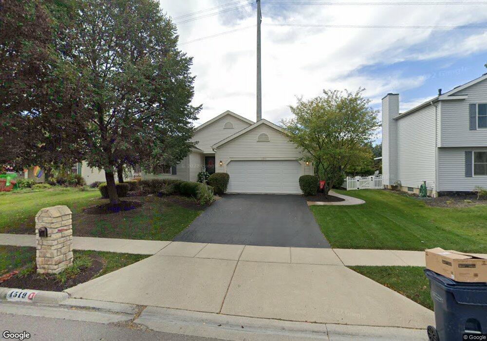
4519 Earman Dr Hilliard, OH 43026
Estimated Value: $373,000 - $385,000
3
Beds
2
Baths
1,244
Sq Ft
$305/Sq Ft
Est. Value
About This Home
This home is located at 4519 Earman Dr, Hilliard, OH 43026 and is currently estimated at $379,493, approximately $305 per square foot. 4519 Earman Dr is a home located in Franklin County with nearby schools including Beacon Elementary School, Hilliard Tharp Sixth Grade Elementary School, and Hilliard Weaver Middle School.
Ownership History
Date
Name
Owned For
Owner Type
Purchase Details
Closed on
Apr 11, 2000
Sold by
Penn Scott A
Bought by
Penn Scott A and Penn Ann I
Current Estimated Value
Home Financials for this Owner
Home Financials are based on the most recent Mortgage that was taken out on this home.
Original Mortgage
$14,200
Interest Rate
8.29%
Purchase Details
Closed on
Mar 10, 1993
Create a Home Valuation Report for This Property
The Home Valuation Report is an in-depth analysis detailing your home's value as well as a comparison with similar homes in the area
Home Values in the Area
Average Home Value in this Area
Purchase History
| Date | Buyer | Sale Price | Title Company |
|---|---|---|---|
| Penn Scott A | -- | Transohio Residential Title | |
| -- | -- | -- |
Source: Public Records
Mortgage History
| Date | Status | Borrower | Loan Amount |
|---|---|---|---|
| Closed | Penn Scott A | $14,200 |
Source: Public Records
Tax History Compared to Growth
Tax History
| Year | Tax Paid | Tax Assessment Tax Assessment Total Assessment is a certain percentage of the fair market value that is determined by local assessors to be the total taxable value of land and additions on the property. | Land | Improvement |
|---|---|---|---|---|
| 2024 | $7,901 | $117,950 | $40,110 | $77,840 |
| 2023 | $6,433 | $117,950 | $40,110 | $77,840 |
| 2022 | $5,304 | $77,390 | $17,400 | $59,990 |
| 2021 | $5,300 | $77,390 | $17,400 | $59,990 |
| 2020 | $5,287 | $77,390 | $17,400 | $59,990 |
| 2019 | $4,849 | $60,410 | $13,370 | $47,040 |
| 2018 | $4,643 | $60,410 | $13,370 | $47,040 |
| 2017 | $4,774 | $60,410 | $13,370 | $47,040 |
| 2016 | $4,717 | $54,600 | $13,230 | $41,370 |
| 2015 | $4,455 | $54,600 | $13,230 | $41,370 |
| 2014 | $4,462 | $54,600 | $13,230 | $41,370 |
| 2013 | $2,096 | $50,540 | $12,600 | $37,940 |
Source: Public Records
Map
Nearby Homes
- 3012 Papin St Unit 39
- 4524 Moraine Ave
- 3416 Leap Rd
- 4843 Stoneybrook Blvd Unit 30E
- 4857 Stoneybrook Blvd Unit 29E
- 4862 Stoneybrook Blvd Unit 24E
- 5041 Stoneybrook Blvd Unit 9E
- 5053 Stoneybrook Blvd
- 5062 Stoneybrook Blvd Unit 3F
- 5080 Stoneybrook Blvd Unit 2D
- 5078 Stoneybrook Blvd Unit 2E
- 4945 Singleton Dr Unit 13C
- 4995 Singleton Dr
- 4995 Singleton Dr Unit 18c
- 3111 Castlebrook Ave
- 3643 Carriage Run Dr
- 4976 Shady Oak Dr
- 2967 Castlebrook Ave
- 2759 Lyndley Ct
- 5213 Frisco Dr
- 4513 Earman Dr
- 4525 Earman Dr
- 4505 Earman Dr
- 4533 Earman Dr
- 4514 Earman Dr
- 4497 Earman Dr
- 4539 Earman Dr
- 4520 Earman Dr
- 4508 Earman Dr
- 4526 Earman Dr
- 4502 Earman Dr
- 5117 Scioto Darby Creek Rd
- 4493 Earman Dr
- 4534 Earman Dr
- 4545 Earman Dr
- 4494 Earman Dr
- 4491 Swenson St
- 4497 Swenson St
- 4487 Earman Dr
- 4488 Earman Dr