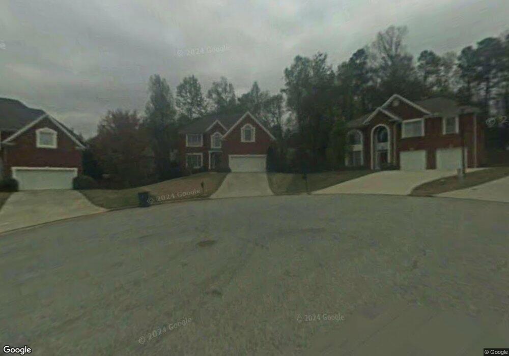
4519 Hales Trace Ln SW Unit II Lilburn, GA 30047
Estimated Value: $473,000 - $516,000
3
Beds
3
Baths
2,558
Sq Ft
$194/Sq Ft
Est. Value
About This Home
This home is located at 4519 Hales Trace Ln SW Unit II, Lilburn, GA 30047 and is currently estimated at $496,625, approximately $194 per square foot. 4519 Hales Trace Ln SW Unit II is a home located in Gwinnett County with nearby schools including Camp Creek Elementary School, Trickum Middle School, and Parkview High School.
Ownership History
Date
Name
Owned For
Owner Type
Purchase Details
Closed on
May 22, 1997
Sold by
Morrison Homes Of Florida Inc
Bought by
Smartt Matthew K and Smartt Martha L
Current Estimated Value
Home Financials for this Owner
Home Financials are based on the most recent Mortgage that was taken out on this home.
Original Mortgage
$150,000
Interest Rate
7.7%
Mortgage Type
New Conventional
Create a Home Valuation Report for This Property
The Home Valuation Report is an in-depth analysis detailing your home's value as well as a comparison with similar homes in the area
Home Values in the Area
Average Home Value in this Area
Purchase History
| Date | Buyer | Sale Price | Title Company |
|---|---|---|---|
| Smartt Matthew K | $205,400 | -- |
Source: Public Records
Mortgage History
| Date | Status | Borrower | Loan Amount |
|---|---|---|---|
| Previous Owner | Smartt Matthew K | $150,000 |
Source: Public Records
Tax History Compared to Growth
Tax History
| Year | Tax Paid | Tax Assessment Tax Assessment Total Assessment is a certain percentage of the fair market value that is determined by local assessors to be the total taxable value of land and additions on the property. | Land | Improvement |
|---|---|---|---|---|
| 2025 | $1,323 | $197,120 | $36,000 | $161,120 |
| 2024 | $1,322 | $198,280 | $36,000 | $162,280 |
| 2023 | $1,322 | $201,440 | $42,800 | $158,640 |
| 2022 | $4,870 | $174,600 | $31,600 | $143,000 |
| 2021 | $4,146 | $135,960 | $27,600 | $108,360 |
| 2020 | $3,922 | $124,160 | $23,600 | $100,560 |
| 2019 | $3,822 | $124,160 | $23,600 | $100,560 |
| 2018 | $3,615 | $114,320 | $19,200 | $95,120 |
| 2016 | $3,340 | $100,600 | $19,200 | $81,400 |
| 2015 | $3,372 | $100,600 | $19,200 | $81,400 |
| 2014 | -- | $100,600 | $19,200 | $81,400 |
Source: Public Records
Map
Nearby Homes
- 4582 Warrior Trail SW
- 4367 Cedar Wood Dr SW
- 1017 Rolling Forest Ln
- 4702 Sequoia Dr SW
- 4567 Town Crier Rd SW
- 4307 Cedar Wood Dr SW
- 4704 Arrowhead Trail SW
- 4406 Hale Dr SW
- 1296 Mandalay Ct SW
- 4254 Cedar Creek Trail SW Unit 8
- 4271 Weston Dr SW
- 676 Killian Hill Rd SW
- 4245 Cedar Creek Trail SW
- 4872 Arrowhead Trail West SW Unit 1
- 551 Killian Hill Rd SW
- 4449 Amberleaf Walk
- 4509 Hales Trace Ln SW
- 4529 Hales Trace Ln SW
- 4516 Cedar Wood Dr SW
- 4526 Cedar Wood Dr SW
- 4536 Cedar Wood Dr SW Unit 1
- 4539 Hales Trace Ln SW
- 4508 Hales Trace Ln SW
- 4506 Cedar Wood Dr SW Unit 3
- 0 Cedar Wood Dr SW Unit 7521692
- 0 Cedar Wood Dr SW Unit 7464369
- 0 Cedar Wood Dr SW Unit 7453953
- 0 Cedar Wood Dr SW Unit 7393632
- 0 Cedar Wood Dr SW Unit 8609709
- 0 Cedar Wood Dr SW Unit 8555749
- 0 Cedar Wood Dr SW Unit 8412450
- 0 Cedar Wood Dr SW Unit 8372868
- 0 Cedar Wood Dr SW Unit 8369055
- 0 Cedar Wood Dr SW Unit 8255633
- 0 Cedar Wood Dr SW Unit 8222555
- 0 Cedar Wood Dr SW Unit 8216346